Plizio Visual Lab
Kullaberg East
Weather…
Water temperature…
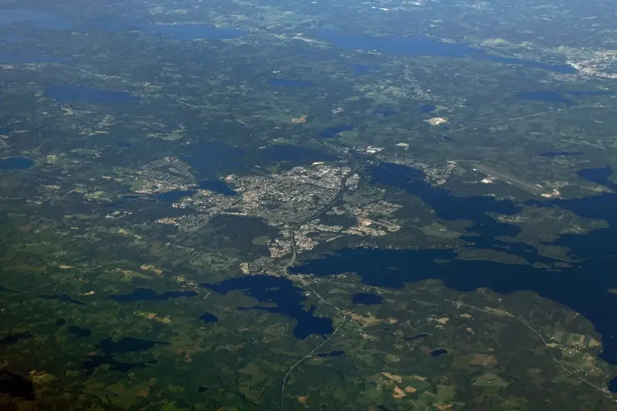
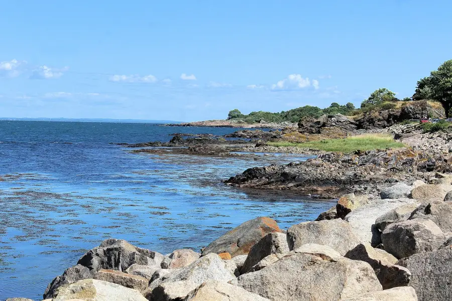
Kullaberg East refers to the eastern section of the Kullaberg ridge in northwest Scania, where the dramatic cliffs of the west transition into a more rolling, forested landscape. This area is part of a horst formation composed mainly of gneiss and granite, created by tectonic movements millions of years ago. The relief here is dominated by plateaus and valleys that descend toward the Skälderviken bay. While the western tip is known for its lighthouse and caves, the eastern part provides dense beech forests and a rich variety of bird species. Historically, the area has been used for both forestry and small-scale agriculture, benefiting from the mineral-rich soil. It is a popular destination for hiking and nature observation, providing panoramic views across the Öresund and Kattegat. The gentler topography in the east contrasts sharply with the rugged western end of the protected area.
- Location: Sweden
- Top sights: Skärets naturreservat · Strandhagen · Nabbens naturreservat
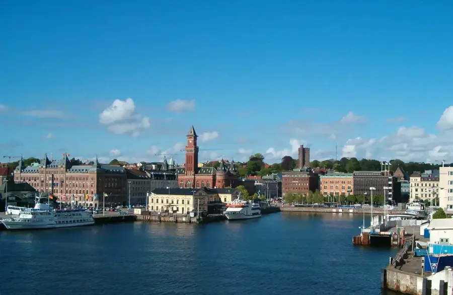
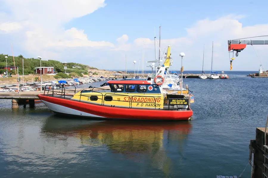
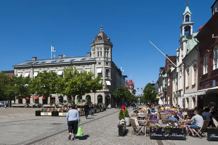
- Nearby: Mölle (6 km)
Best time to visit & climate
The most pleasant time to visit is Jun–Aug.
| Jan | Feb | Mar | Apr | May | Jun | Jul | Aug | Sep | Oct | Nov | Dec | |
|---|---|---|---|---|---|---|---|---|---|---|---|---|
| Avg °C | 1 | 1 | 2 | 7 | 11 | 15 | 18 | 18 | 14 | 10 | 6 | 3 |
| Rain mm | 81 | 62 | 50 | 43 | 57 | 81 | 92 | 99 | 69 | 92 | 81 | 86 |
📋 Practical info
Geography
Facts
- Geological horst formation made of gneiss
- Highest point of the ridge at 187 meters
- Part of the Kullaberg Nature Reserve
- Dominated by ancient beech forest stands
- Bordered by the Skälderviken bay
- Created by Precambrian tectonic activity
Explore nearby
Notable places around
Route planner — Car & Motorhome
Where do you start? We build the route here, with stops and country notes along the way.
© OpenStreetMap contributors · OpenRouteService
Sights in the town Kullaberg East (7)
Sights nearby
Frequently asked questions
What does Kullaberg-Ost offer?
Are there caves there?
Can you go birdwatching there?
How is the terrain for hikers?
Are there parking facilities?
Kullaberg East: where is it located?
Kullaberg East: what is there to see?
Kullaberg East: when is the best time to visit?
Kullaberg East: why is it worth visiting?

Nearby cities