Plizio Visual Lab
Kullaberg Nature Reserve
Weather…
Water temperature…
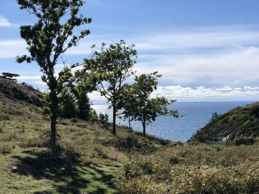
Kullaberg Nature Reserve extends across a peninsula in northwest Skåne and is renowned for its striking cliffs that drop steeply into the Öresund and Kattegat. The geological formation consists primarily of gneiss and was shaped by tectonic processes millions of years ago. Kullaberg has exceptional biodiversity, hosting over 70% of Sweden's fern species and a rich avian population, including peregrine falcons. The region is also famous for its numerous caves, such as Visitgrottan and Lahibiagrottan, which contain archaeological finds dating back to the Stone Age. At the outermost point of the peninsula stands the Kullen fyr lighthouse, the highest-situated lighthouse in Sweden, whose light signals are visible over great distances. Hikers can explore the diverse landscape of dense forests and rocky coastlines via a network of over 75 kilometers of marked trails. The area was established as a reserve in 1971 and is now a popular destination for climbers, divers, and nature enthusiasts. Kullaberg is also an important site for the study of marine ecosystems.
- Location: Sweden
- Top sights: Kullen western lighthouse · Silvergrottan · Visitgrottan
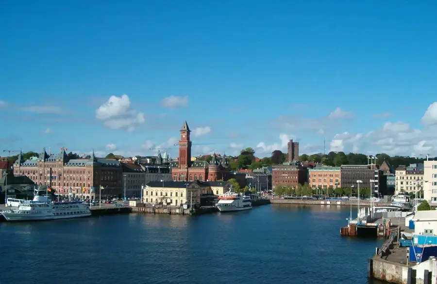
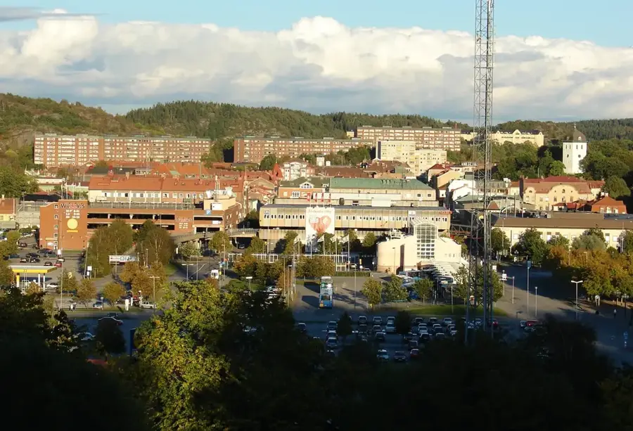
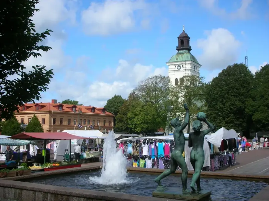
- Nearby: Nyhamnsläge (8 km)
Best time to visit & climate
The most pleasant time to visit is Jun–Aug.
| Jan | Feb | Mar | Apr | May | Jun | Jul | Aug | Sep | Oct | Nov | Dec | |
|---|---|---|---|---|---|---|---|---|---|---|---|---|
| Avg °C | 1 | 1 | 2 | 7 | 11 | 15 | 18 | 18 | 14 | 10 | 6 | 3 |
| Rain mm | 81 | 62 | 50 | 43 | 57 | 81 | 92 | 99 | 69 | 92 | 81 | 86 |
📋 Practical info
Geography
Facts
- Home to over 70% of all Swedish fern species.
- Features Kullen fyr, the highest lighthouse in Sweden.
- Over 75 kilometers of marked hiking trails available.
- Established as a nature reserve in 1971.
- Important breeding ground for rare peregrine falcons.
- Contains prehistoric archaeological sites in sea caves.
Explore nearby
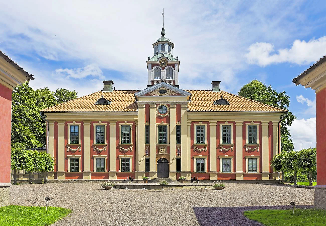
Notable places around
Route planner — Car & Motorhome
Where do you start? We build the route here, with stops and country notes along the way.
© OpenStreetMap contributors · OpenRouteService
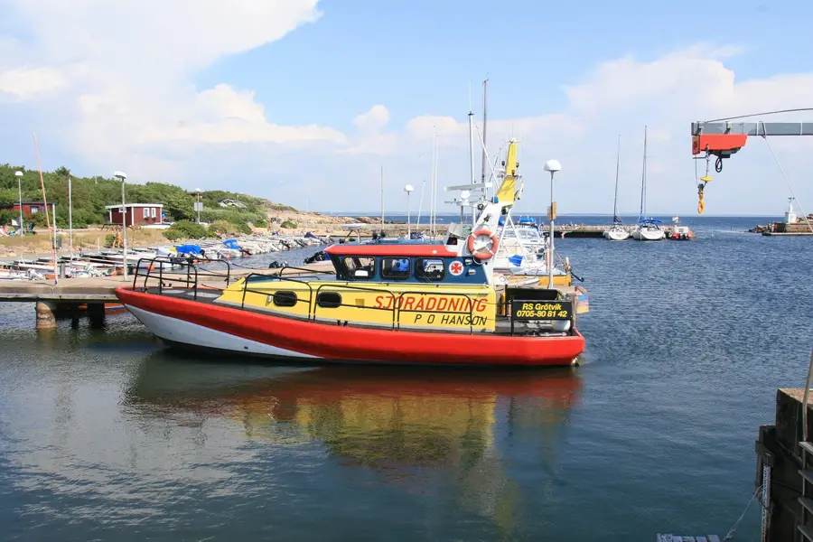
Sights in the town Kullaberg Nature Reserve (3)
Sights nearby
Frequently asked questions
What is the main attraction of Kullaberg?
Can you hike in the caves?
Are there guided tours?
Where is the best place to park?
Is Kullaberg suitable for families?
Kullaberg Nature Reserve: where is it located?
Kullaberg Nature Reserve: what is there to see?
Kullaberg Nature Reserve: when is the best time to visit?
Kullaberg Nature Reserve: why is it worth visiting?

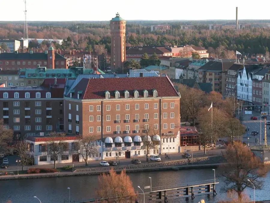
Nearby cities