Plizio Visual Lab
Camp 52
Weather…
Water temperature…
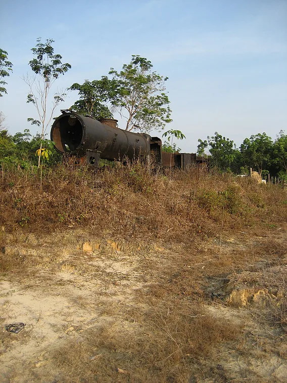
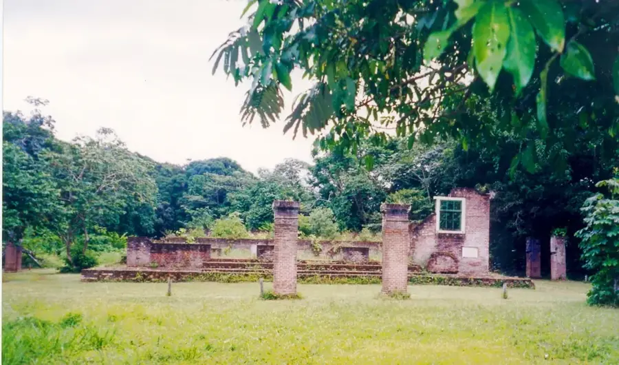
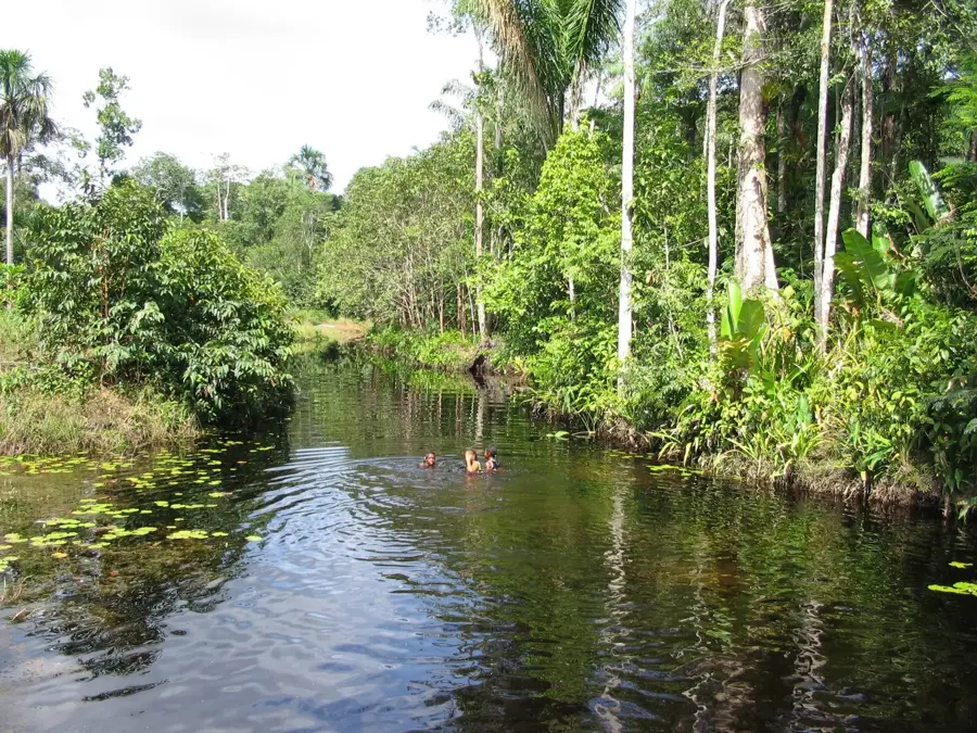
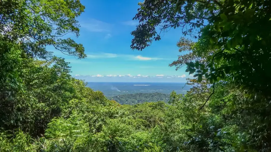
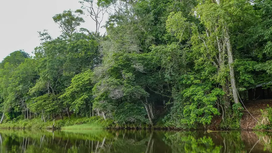
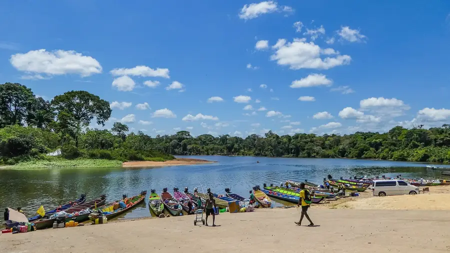
Camp 52 is a historically significant site in western Suriname, closely linked to the ambitious West Suriname Plan of the 1970s. Originally built as a logistics center and base for the construction of a railway line through the pristine rainforest, it was intended to enable the exploitation of bauxite deposits in the Bakhuis Mountains. The name is derived from the kilometer marking along the planned route that was once supposed to connect the coast with the country's interior. Despite massive investments and the actual construction of tracks, the project was halted after Suriname's independence due to economic and political instability. Today, Camp 52 is a symbol of unfinished dreams of industrial development, where rails sinking into the jungle and abandoned buildings create an almost surreal atmosphere. The surrounding area is characterized by extraordinary biodiversity and often serves as a starting point for scientific expeditions or nature conservation projects. The site remains a reminder of the immense challenges involved in developing infrastructure within a dense tropical rainforest.
- Location: Suriname
- Nearby: Cola Creek (31 km)
Best time to visit & climate
The most pleasant time to visit is Feb, Sep, Oct.
| Jan | Feb | Mar | Apr | May | Jun | Jul | Aug | Sep | Oct | Nov | Dec | |
|---|---|---|---|---|---|---|---|---|---|---|---|---|
| Avg °C | 26 | 26 | 26 | 26 | 26 | 25 | 25 | 26 | 27 | 28 | 28 | 26 |
| Rain mm | 159 | 138 | 132 | 213 | 313 | 261 | 238 | 150 | 78 | 76 | 111 | 183 |
📋 Practical info
Geography
Facts
- Was part of the West Suriname Plan to access bauxite deposits.
- The name refers to kilometer 52 of the planned railway line.
- Features an abandoned railway track in the middle of the rainforest.
- The infrastructure project was halted in the late 1970s.
- Currently serves as a starting point for deep jungle expeditions.
- The undeveloped Bakhuis Mountains are located nearby.
Explore nearby
Notable places around
Route planner — Car & Motorhome
Where do you start? We build the route here, with stops and country notes along the way.
© OpenStreetMap contributors · OpenRouteService
Sights nearby
Frequently asked questions
What is 'Kamp 52'?
Is the site accessible to tourists?
What should I keep in mind when visiting?
Is a car needed for the trip?
How long does a visit take?
Camp 52: where is it located?
Camp 52: when is the best time to visit?
Camp 52: why is it worth visiting?

Nearby cities
History & landmarks
More places