Plizio Visual Lab
Brownsberg Nature Reserve
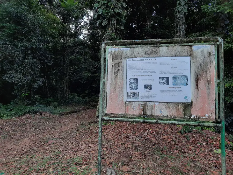
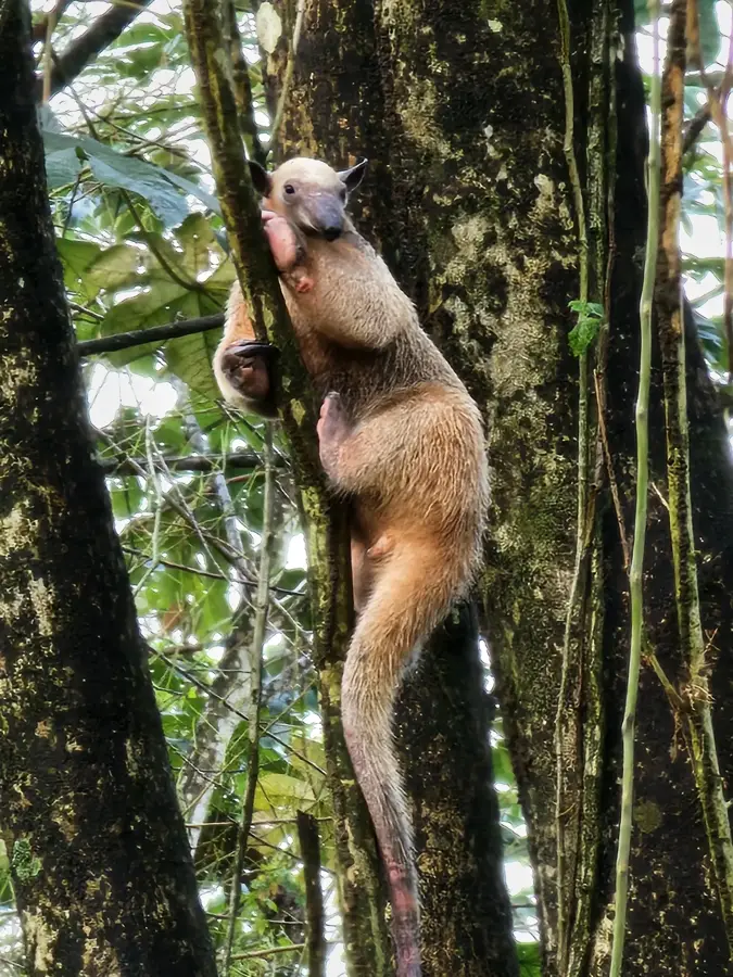
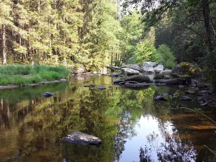
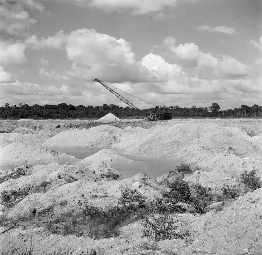
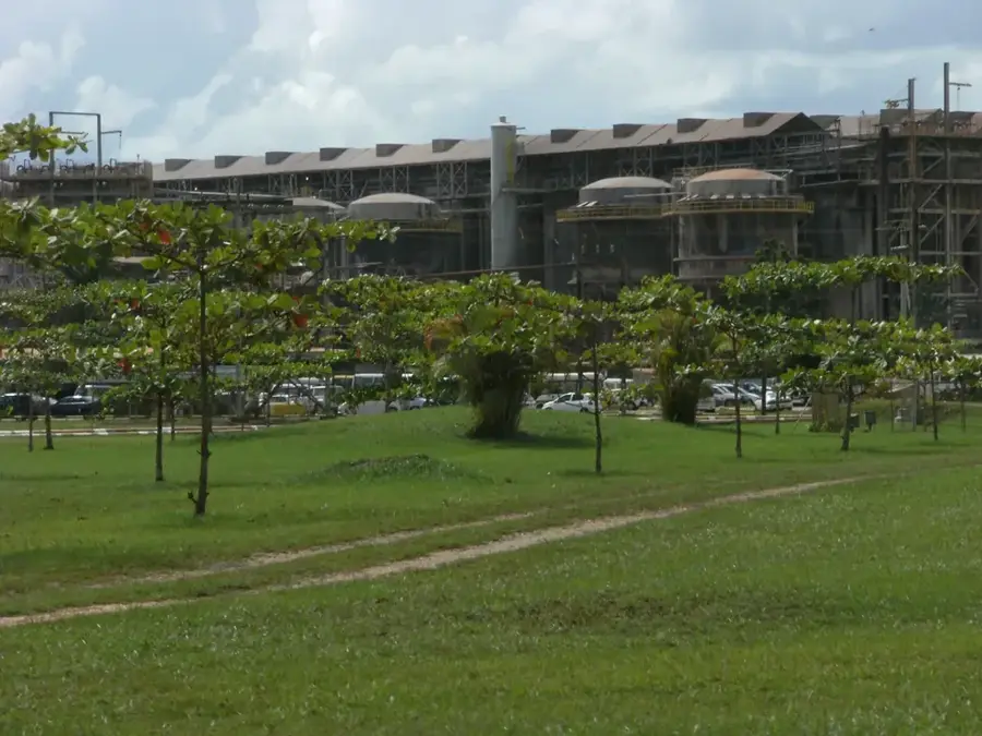
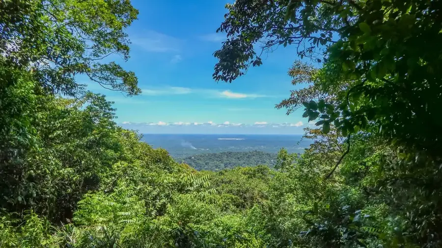
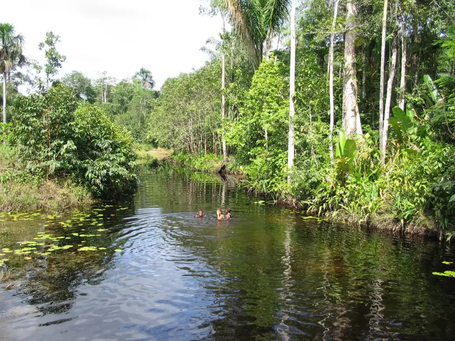
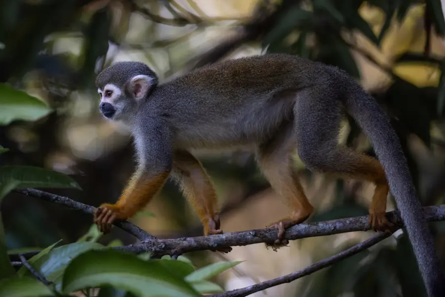
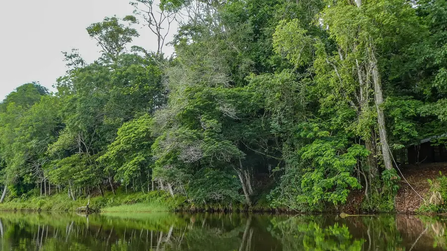
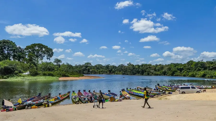
Brownsberg Nature Park is situated about 130 kilometers south of Paramaribo and features a laterite plateau rising approximately 500 meters above sea level. Established in 1970, the reserve covers about 12,000 hectares and provides commanding views of the nearby Brokopondo Reservoir. The park is draped in dense tropical rainforest and is home to a rich variety of wildlife, including eight species of primates such as howler and capuchin monkeys. Geologically, it belongs to the ancient Guiana Shield and is well-known for its numerous waterfalls, including the Leo and Irene Falls. The area serves as a primary center for nature conservation education and ecological research in Suriname. Although threatened by illegal gold mining in surrounding areas, the park remains a critical sanctuary for rare flora and fauna. Hiking trails through the park provide access to various forest heights and allow for detailed observation of its biodiversity.
- Location: Suriname
- Nearby: Brownsweg (4 km)
Best time to visit & climate
The most pleasant time to visit is Aug–Oct.
| Jan | Feb | Mar | Apr | May | Jun | Jul | Aug | Sep | Oct | Nov | Dec | |
|---|---|---|---|---|---|---|---|---|---|---|---|---|
| Avg °C | 26 | 26 | 26 | 26 | 26 | 26 | 26 | 26 | 27 | 29 | 28 | 26 |
| Rain mm | 178 | 159 | 149 | 245 | 331 | 275 | 228 | 144 | 76 | 78 | 117 | 196 |
📋 Practical info
Geography
Facts
- Established as a nature park in 1970.
- The plateau reaches a height of 500 meters.
- Covers an area of roughly 12,000 hectares.
- Home to 8 different species of primates.
- Features the scenic Leo and Irene waterfalls.
- Provides an overlook of the 1,560 km² Brokopondo Reservoir.
Explore nearby
Notable places around
Route planner — Car & Motorhome
Where do you start? We build the route here, with stops and country notes along the way.
© OpenStreetMap contributors · OpenRouteService
Sights in the town Brownsberg Nature Reserve (1)
Sights nearby
Frequently asked questions
How long is the ascent?
Can you swim there?
Is there food available?
Is the trail marked?
What is the highlight?
Brownsberg Nature Reserve: where is it located?
Brownsberg Nature Reserve: when is the best time to visit?
Brownsberg Nature Reserve: why is it worth visiting?

Nearby cities
History & landmarks
More places