Plizio Visual Lab
Khartoum
ℹ️Practical info — Khartoum
▾
🌤 Weather — 5 days
📍 Nearby
Sights nearby
💡 Tips
- Visit the confluence of the Blue and White Niles (Al-Mogran) in the late afternoon for the best light.
- Taxis are available, but ride-hailing apps (when functioning) provide transparent pricing.
- Ensure you have sufficient cash in local currency, as international cards are rarely accepted.
- Traffic can be intense; plan extra travel time during the morning and afternoon rush hours.
🍽 Food
Try freshly fried or grilled tilapia at riverside restaurants along Nile Street.
Sudanese style falafel, often crunchier, available at busy street stalls.
Traditional ginger-spiced coffee served by tea ladies under the shade of trees.
🛍 Shopping · 🧘 Quiet spots
While technically across the river, it's the ultimate market for handicrafts, spices, and silver.
The place to go for modern shopping and air-conditioned relief.
A green, tranquil oasis in the city center great for a relaxing walk.
Walk here early in the morning before the traffic builds up.
Water temperature…
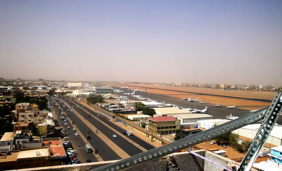
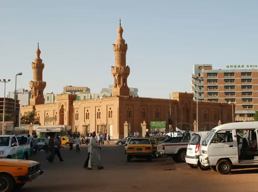
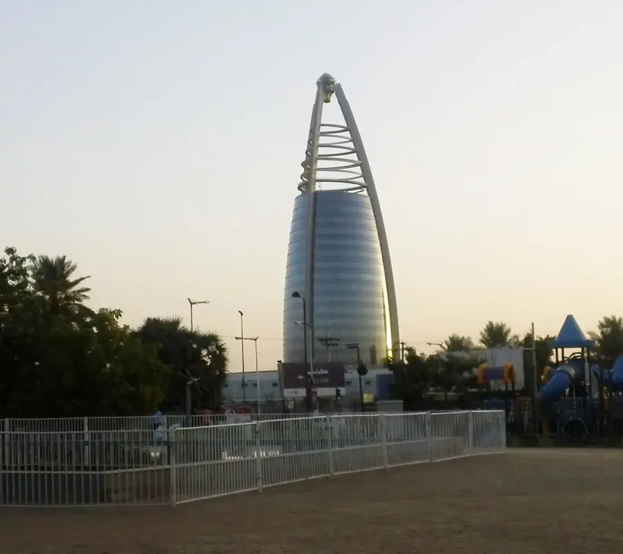
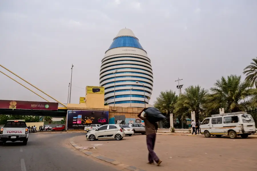
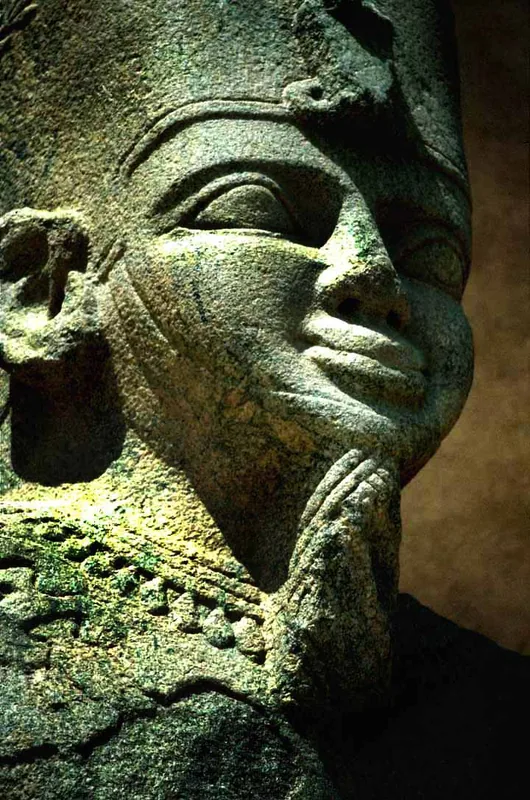
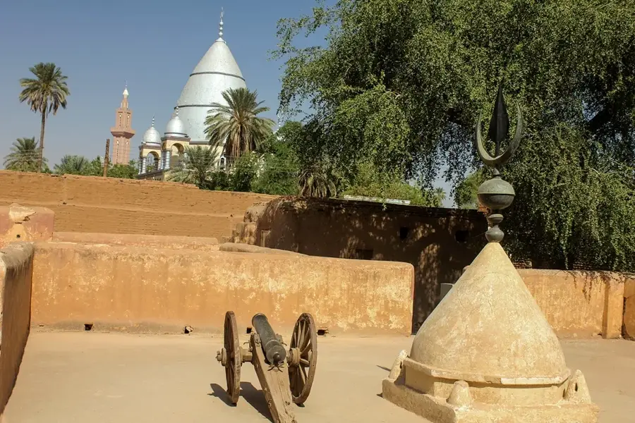
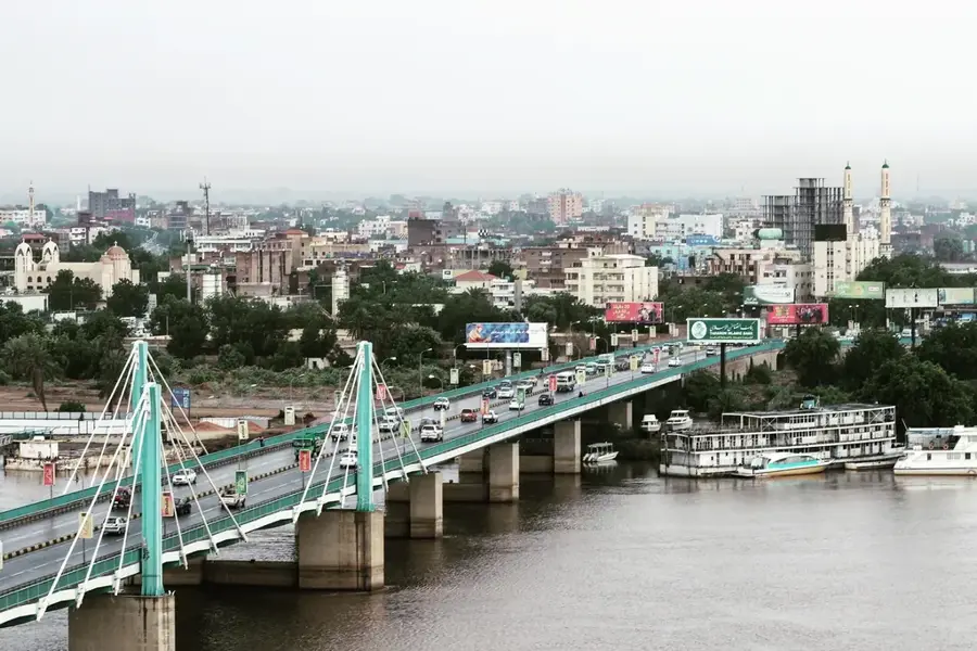
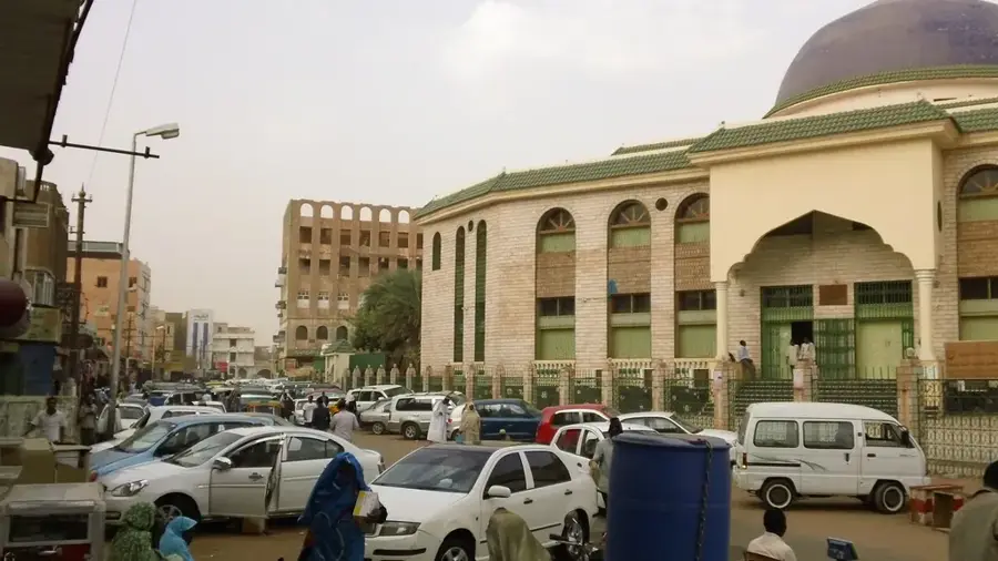
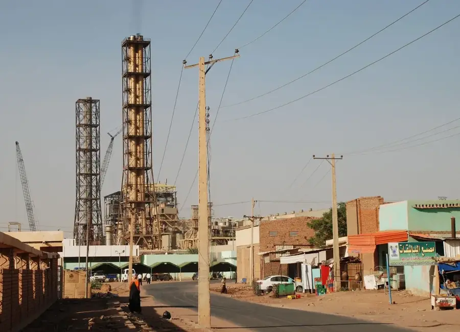
Khartoum, the capital of Sudan, is uniquely situated at the confluence of the White Nile and the Blue Nile, a point known as the 'Mogran'. This geographic meeting point is not only visually memorable but also historically significant, as it marks the official start of the main Nile River. The city was founded in 1821 by Ibrahim Pasha, the son of Egypt's ruler Muhammad Ali Pasha, initially as a military outpost. Its name, derived from the Arabic for 'elephant's trunk', describes the shape of the peninsula formed by the two rivers. Khartoum rose to international prominence in the late 19th century during the Mahdist Uprising, which saw the city fall to the forces of Muhammad Ahmad al-Mahdi in 1885 after a prolonged siege. Following the British victory at the Battle of Omdurman in 1898, the city was rebuilt with a modern layout designed by Lord Kitchener. Today, Greater Khartoum is a sprawling tri-city area consisting of Khartoum, Omdurman, and Khartoum North (Bahri), connected by several bridges. Khartoum proper serves as the administrative and financial hub, Omdurman is the cultural soul with its massive traditional souks and Sufi shrines, and Khartoum North is the industrial powerhouse. The city is home to the National Museum of Sudan, which features relocated ancient temples from the flooding of Lake Nasser. Economically, Khartoum is the center of the nation's oil, manufacturing, and transportation industries. The climate is hot desert, with extreme temperatures and seasonal dust storms called 'haboobs' that can cover the city in a thick layer of sand. Despite recent political instability, Khartoum remains a critical diplomatic and economic center for the Horn of Africa and the Sahel, hosting major international organizations and universities. The skyline is a mix of colonial-era villas, Soviet-style apartment blocks, and modern glass towers like the distinctive egg-shaped Corinthia Hotel.
- Location: Sudan
- Top sights: Horses Race · Haj Saeed House · Alnasr Compound
- Nearby: Khartoum Bahri (8 km)
- Population: ~1.974.647 (2025)
Best time to visit & climate
The most pleasant time to visit is Jan, Feb, Dec.
| Jan | Feb | Mar | Apr | May | Jun | Jul | Aug | Sep | Oct | Nov | Dec | |
|---|---|---|---|---|---|---|---|---|---|---|---|---|
| Avg °C | 22 | 25 | 28 | 31 | 34 | 35 | 33 | 31 | 32 | 32 | 27 | 23 |
| Rain mm | 0 | 0 | 0 | 1 | 3 | 5 | 44 | 58 | 20 | 9 | 0 | 0 |
Geography
Facts
- Khartoum is the second-largest city in Sudan by population.
- The confluence of the two Niles occurs at 15°36′N 32°31′E.
- The city was the site of the famous Khartoum Resolution in 1967.
- Khartoum North (Bahri) contains the country's primary oil refineries.
- The Blue Nile is typically faster and more silt-laden than the White Nile.
- Average summer high temperatures regularly exceed 41°C (106°F).
- The Mahdi's tomb in Omdurman is a major landmark of the city.
- Sudan's first railway reached Khartoum in 1899 from Egypt.
Explore nearby
Notable places around
Route planner — Car & Motorhome
Where do you start? We build the route here, with stops and country notes along the way.
© OpenStreetMap contributors · OpenRouteService
Sights in the town Khartoum (6)
Frequently asked questions
How many days should I plan for Khartoum?
What local specialty must I try?
How is the best way to get around Khartoum?
Is Khartoum suitable for families?
When is the best travel time?
Khartoum: where is it located?
Khartoum: what is there to see?
Khartoum: when is the best time to visit?
Khartoum: why is it worth visiting?

Nearby cities
History & landmarks