Plizio Visual Lab
Burri Bridge

Weather…
Water temperature…
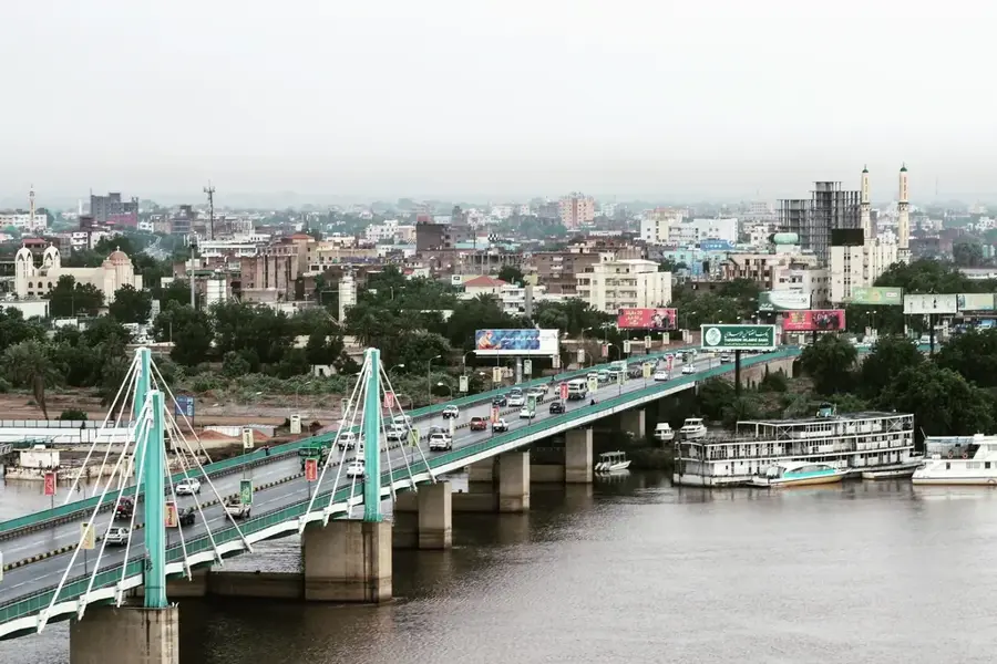
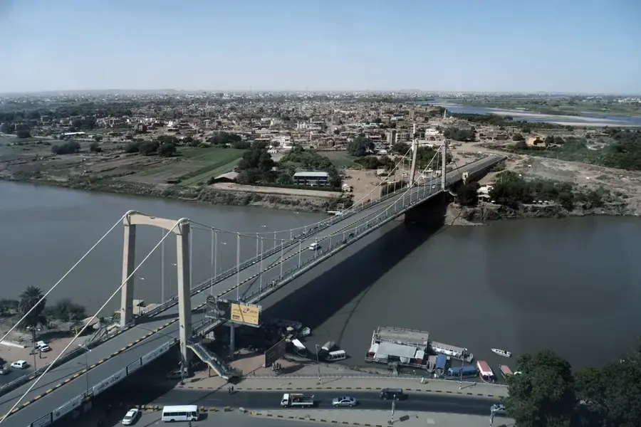
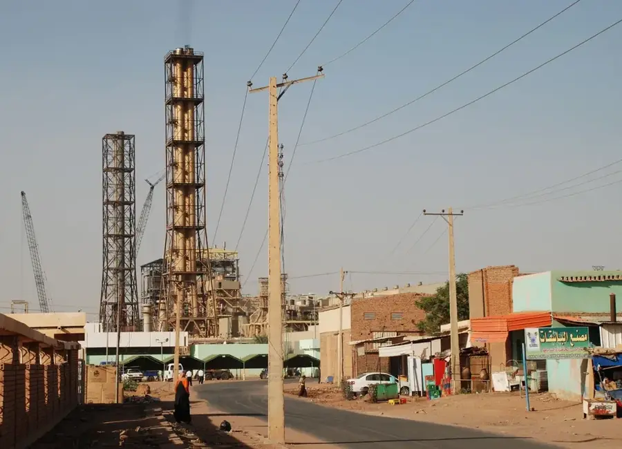
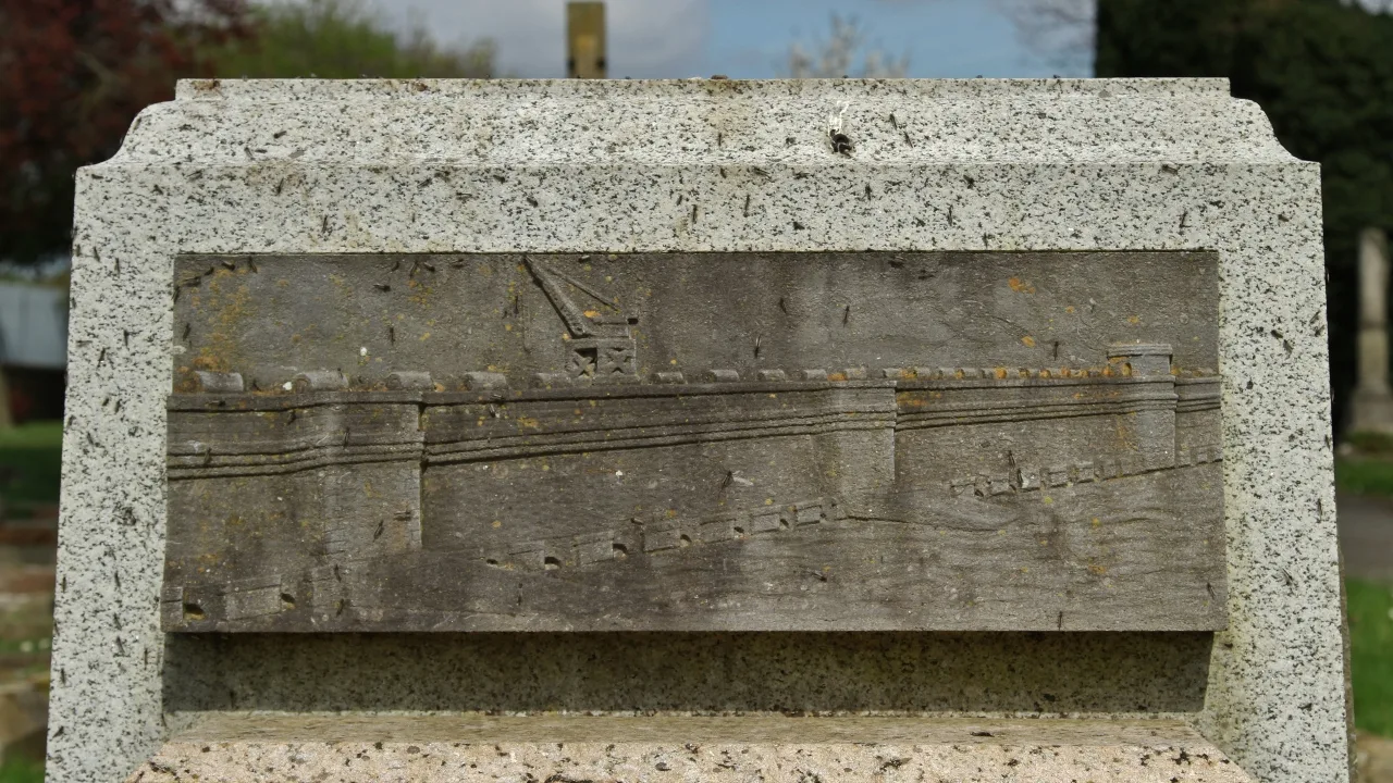
The Burri Bridge is a vital transport infrastructure spanning the Blue Nile in Khartoum, serving as a key link between the eastern Burri district and Khartoum North. Completed in 1983, the bridge was part of an urban expansion strategy to alleviate traffic congestion in the central capital area. With a length of approximately 400 meters, the reinforced concrete structure provides an efficient route for commuters and heavy vehicles moving between residential and industrial sectors. Its strategic location near the Burri Power Station underscores its importance to the city's logistical and energy networks. The bridge's robust design has allowed it to handle increasing traffic volumes over the decades, maintaining its status as a critical node in the metropolitan ring road system. It remains an essential asset for the economic integration of the diverse districts forming the Greater Khartoum area, facilitating the smooth flow of commerce and daily transit.
- Location: Sudan
- Nearby: Omdurman (9 km)
Best time to visit & climate
The most pleasant time to visit is Jan, Feb, Dec.
| Jan | Feb | Mar | Apr | May | Jun | Jul | Aug | Sep | Oct | Nov | Dec | |
|---|---|---|---|---|---|---|---|---|---|---|---|---|
| Avg °C | 22 | 25 | 28 | 31 | 34 | 35 | 33 | 31 | 32 | 32 | 27 | 23 |
| Rain mm | 0 | 0 | 0 | 1 | 3 | 5 | 44 | 58 | 20 | 9 | 0 | 0 |
📋 Practical info
Geography
Facts
- Opened in the year 1983
- Spans across the Blue Nile river
- Length of approximately 400 meters
- Connects Burri district to Khartoum North
- Reinforced concrete construction
- Key transit point near the Burri Power Station
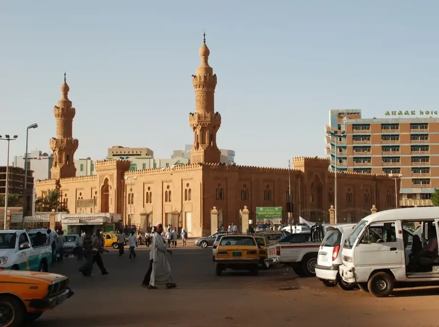
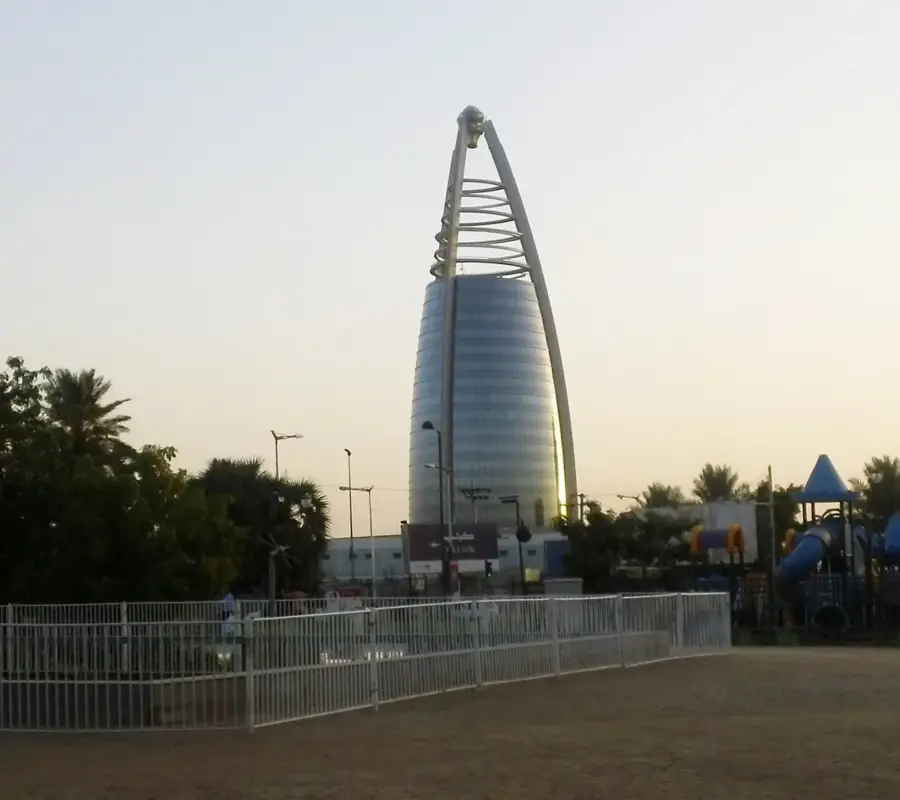
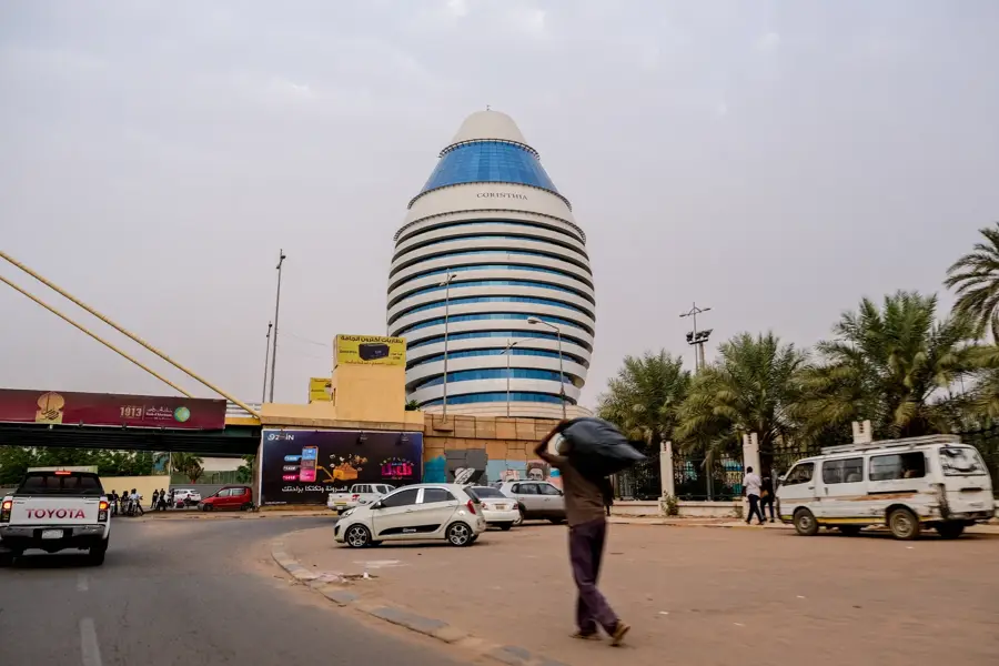
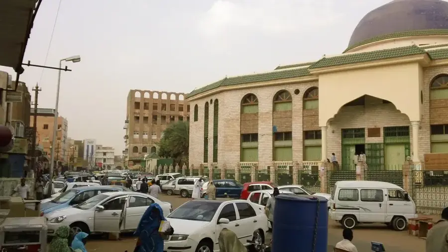
Explore nearby
Notable places around
Route planner — Car & Motorhome
Where do you start? We build the route here, with stops and country notes along the way.
© OpenStreetMap contributors · OpenRouteService
Sights in the town Burri Bridge (1)
Sights nearby
Frequently asked questions
Does the bridge connect important districts?
Is it a destination for tourists?
What is the road condition?
Are there traffic jams?
Is it good for walking here?
Burri Bridge: where is it located?
Burri Bridge: when is the best time to visit?
Burri Bridge: why is it worth visiting?

Nearby cities

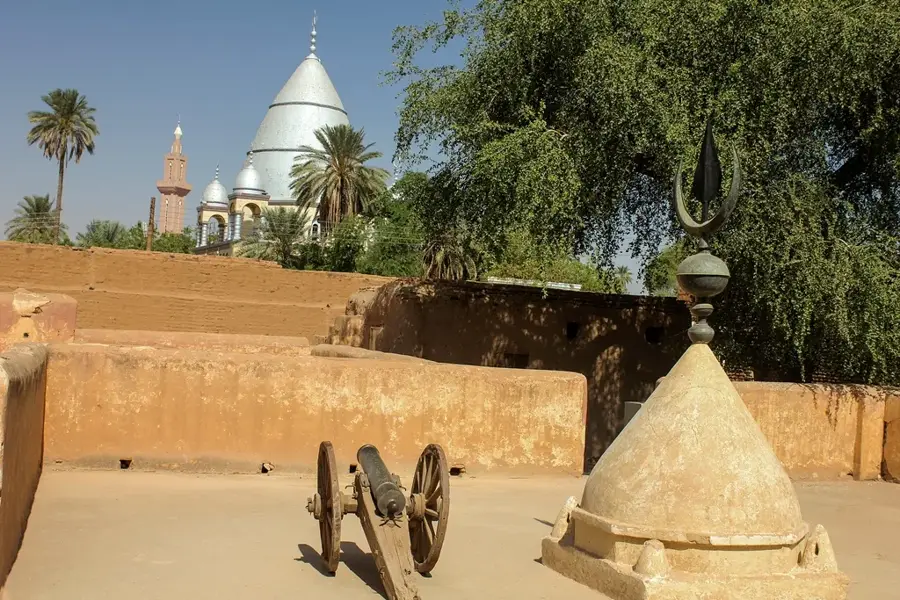
History & landmarks