Plizio Visual Lab
Ta' l-Agħara Hill
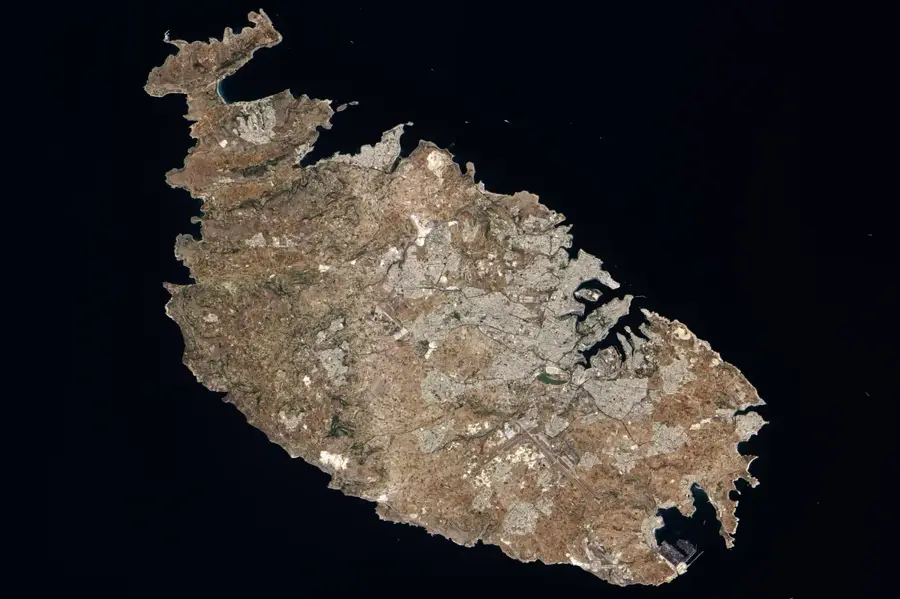
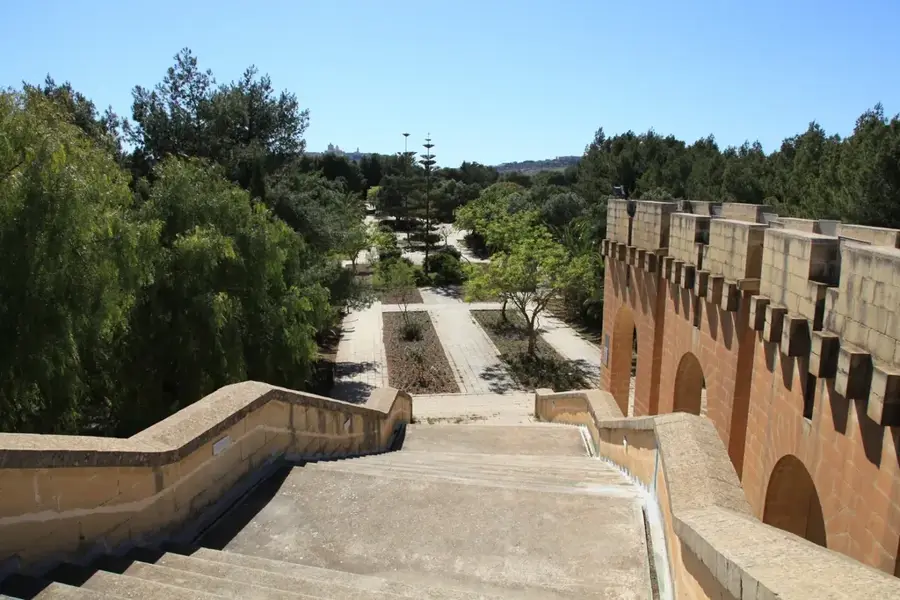
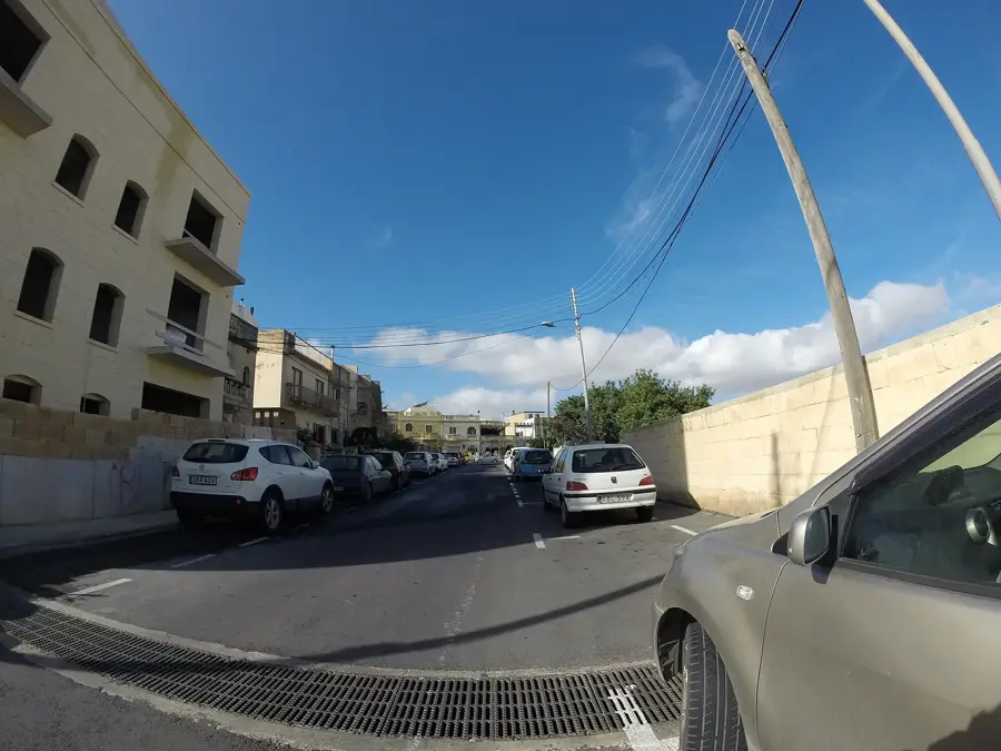
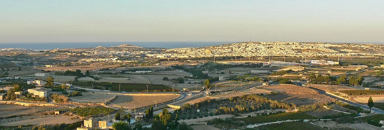
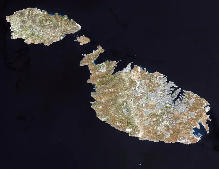
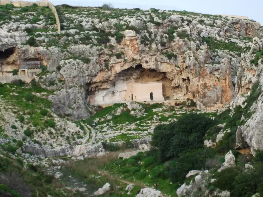
Ta' l-Agħara Hill is a gentle elevation in the southern part of Malta, situated near the villages of Qrendi and Żurrieq. This region is geologically characterized by Globigerina Limestone, which has been vital for Maltese architecture for centuries. The hill provides expansive views over the southern coastal landscape, extending as far as the uninhabited island of Filfla. Historically, the area has been a site for agricultural activities, with fertile soils in the hollows around the hill being cultivated for millennia. Significant prehistoric temple complexes, such as Ħaġar Qim and Mnajdra, are located nearby, emphasizing the region's importance in antiquity. The natural vegetation consists of traditional Mediterranean shrubs like thyme and rosemary that thrive on the rocky plateaus. Today, the hill is a favorite destination for hikers seeking the tranquility and broad vistas of the rural Maltese countryside.
- Location: Malta
- Top sights: Knisja Arċipretali ta' San Ġorġ · Wignacourt Aqueduct · Saint Anne
- Nearby: San Ġwann (4 km)
Best time to visit & climate
The most pleasant time to visit is May–Jul.
| Jan | Feb | Mar | Apr | May | Jun | Jul | Aug | Sep | Oct | Nov | Dec | |
|---|---|---|---|---|---|---|---|---|---|---|---|---|
| Avg °C | 15 | 14 | 15 | 16 | 19 | 23 | 26 | 27 | 25 | 23 | 20 | 16 |
| Rain mm | 74 | 65 | 51 | 33 | 17 | 11 | 4 | 10 | 63 | 82 | 95 | 82 |
📋 Practical info
Geography
Facts
- The hill is primarily composed of Globigerina Limestone, the softer Maltese building stone.
- From the summit, the island of Filfla is clearly visible on the southern horizon.
- The prehistoric temples of Ħaġar Qim are located just a few kilometers away.
- Beekeeping has traditionally been practiced here for famous Maltese honey.
- Deep caves formed by natural erosion are found in the surrounding landscape.
- The elevation of the hill is approximately 110 meters above sea level.
Explore nearby
Notable places around
Route planner — Car & Motorhome
Where do you start? We build the route here, with stops and country notes along the way.
© OpenStreetMap contributors · OpenRouteService
Sights in the town Ta' l-Agħara Hill (10)
Saint Mary's Parish Church
Parish church of St Mary in Birkirkara, Malta.
Baby Jesus Museum🏛 museum
Museum displaying figurines of the infant Jesus and nativity scenes.
Żebbuġ Parish Church
Parish church in Żebbuġ, Malta, dedicated to St Philip.
San Anton Gardens
Garden with palm trees and fountains in Attard, Malta.
Rosa Kwir
Contemporary art gallery in Birkirkara.
Birkirkara Old Train Station🏛 museum
Former railway station, now a museum of Malta's railway history.
Sights nearby
Frequently asked questions
Where on Gozo is this hill located?
Are there caves there?
Is the hill developed for tourism?
Can you hike there?
How high is the hill?
Ta' l-Agħara Hill: where is it located?
Ta' l-Agħara Hill: what is there to see?
Ta' l-Agħara Hill: when is the best time to visit?
Ta' l-Agħara Hill: why is it worth visiting?

Nature

More places