Plizio Visual Lab
Wadi Howar Upper Reach
Weather…
Water temperature…
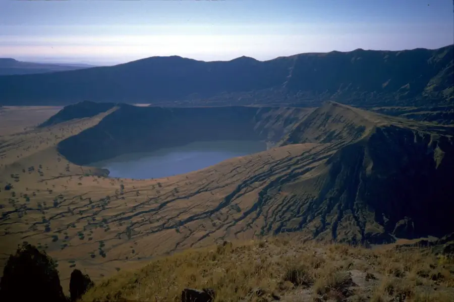
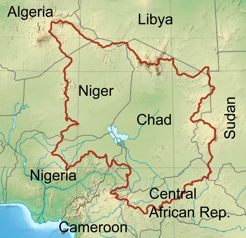
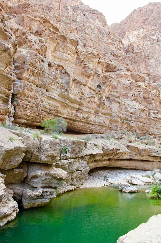
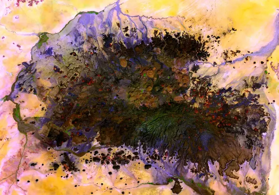
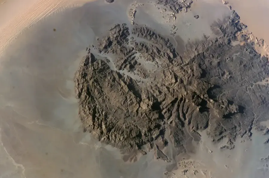
The upper reach of Wadi Howar, famously known as the 'Yellow Nile', is a fossil river system that once stretched from eastern Chad to the Nile in Sudan. In ancient times, it was the Nile's largest Saharan tributary before drying up completely around 2,000 years ago due to increasing regional aridity. Geographically, the upper section is characterized by wide, sandy riverbeds and shifting dunes, sparsely lined with resilient acacia trees. Historically, the area is of immense archaeological value, with discoveries of pottery and tools indicating that the valley was once a fertile region inhabited by fishermen and pastoralists. Today, Wadi Howar is part of a national park and acts as a vital ecological corridor for endangered species, including the addax and oryx. The geological deposits within the wadi hold significant fossils that provide insight into the dramatic climatic shift of North Africa over the last millennia.
Best time to visit & climate
The most pleasant time to visit is Feb, Nov, Dec.
| Jan | Feb | Mar | Apr | May | Jun | Jul | Aug | Sep | Oct | Nov | Dec | |
|---|---|---|---|---|---|---|---|---|---|---|---|---|
| Avg °C | 19 | 22 | 26 | 29 | 32 | 33 | 31 | 29 | 30 | 28 | 23 | 19 |
| Rain mm | 0 | 0 | 0 | 0 | 1 | 2 | 33 | 80 | 12 | 1 | 0 | 0 |
📋 Practical info
Geography
Facts
- Wadi Howar was once over 1,100 kilometers long, connecting to the Nile north of Old Dongola.
- Archaeological evidence includes hippopotamus bones and fish remains from 5000 BCE.
- The upper reach serves as a natural boundary between the Sahara and the Sahel regions.
- The area was officially designated as part of Wadi Howar National Park in 2001.
- The river ceased to be a permanent watercourse between 3000 and 1000 BCE.
- Its nickname, 'Yellow Nile', comes from the distinct golden sands filling its dry channel.
Explore nearby
Notable places around
Route planner — Car & Motorhome
Where do you start? We build the route here, with stops and country notes along the way.
© OpenStreetMap contributors · OpenRouteService
Sights nearby
Frequently asked questions
What is the Upper Wadi Howar?
What makes the area interesting?
Is an expedition advisable?
What danger exists?
What is the best time for the desert?
Wadi Howar Upper Reach: where is it located?
Wadi Howar Upper Reach: when is the best time to visit?
Wadi Howar Upper Reach: why is it worth visiting?

More places