Plizio Visual Lab
Iriba
ℹ️Practical info — Iriba
▾
🌤 Weather — 5 days
📍 Nearby
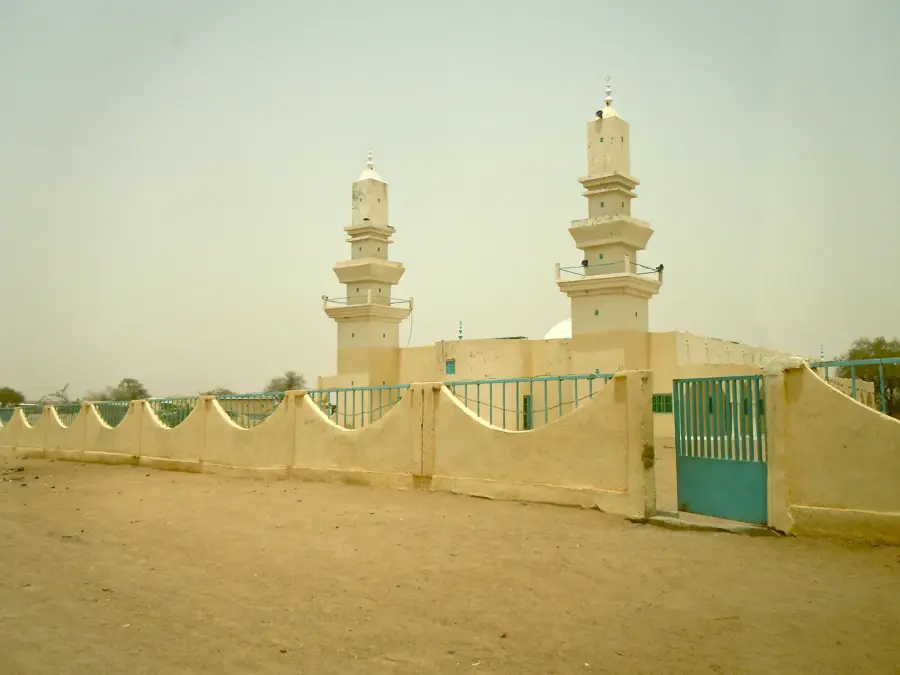
Sights nearby
💡 Tips
- Travel via 4x4 is essential as roads are unpaved and difficult, especially during the rainy season.
- Accommodation options are extremely limited; coordinate with NGOs or local contacts before arriving.
- French and Arabic are widely spoken, but knowing a few words in Zaghawa will be greatly appreciated.
- Carry sufficient cash (CFA Francs), as ATMs are unavailable in the area.
🍽 Food
The staple food of the region, often served with a meat or okra sauce at local eateries.
Freshly roasted meat can be found at the local market or roadside stalls.
A cornerstone of Chadian hospitality, heavily sweetened and served in small glasses.
🛍 Shopping · 🧘 Quiet spots
The central hub for buying daily necessities, colorful fabrics, and local produce.
Look for woven baskets and leather goods made by local artisans.
Venture slightly outside the town for expansive views of the Sahelian landscape.
Walk along the dry riverbeds during the dry season for a peaceful, secluded experience.
Water temperature…
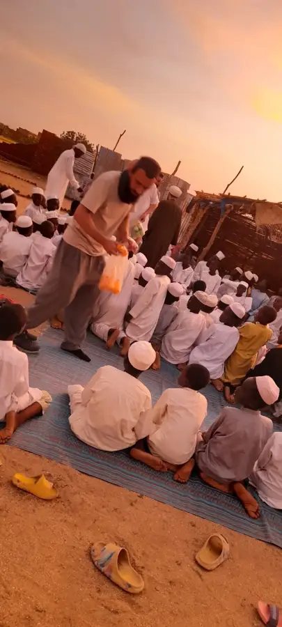
Iriba is a remote town in northeastern Chad, situated in the arid Wadi Fira region. It serves as the capital of the Kobé department and is of central importance for the administration of the eastern borderlands. The town is set in a barren, semi-desert landscape characterized by dramatic rock formations and seasonal watercourses. Since the early 2000s, Iriba has gained global recognition as a site for several large-scale refugee camps hosting people from the neighboring Darfur region. This humanitarian presence has fundamentally transformed the town, leading to increased international attention and infrastructure development. The local population, predominantly from the Zaghawa ethnic group, traditionally lives on nomadic livestock herding, particularly camels and goats. Despite extreme climatic conditions, Iriba remains a vital node for security and assistance in the Chad-Sudan border area.
- Location: Chad
- Nearby: Guéréda (65 km)
- Population: ~47.972 (2023)
Best time to visit & climate
The most pleasant time to visit is Feb, Nov, Dec.
| Jan | Feb | Mar | Apr | May | Jun | Jul | Aug | Sep | Oct | Nov | Dec | |
|---|---|---|---|---|---|---|---|---|---|---|---|---|
| Avg °C | 19 | 22 | 25 | 28 | 30 | 31 | 28 | 26 | 27 | 26 | 22 | 19 |
| Rain mm | 0 | 0 | 0 | 1 | 5 | 11 | 67 | 140 | 36 | 3 | 0 | 0 |
Geography
Facts
- Iriba serves as the administrative center of the Kobé department.
- The town is situated on a plateau at an elevation of about 900 meters.
- The Iridimi and Touloum refugee camps are located in its vicinity.
- The Zaghawa people, to whom leading Chadian figures belong, are indigenous here.
- The climate is extremely dry, with summer temperatures often exceeding 40°C.
- Iriba possesses an airstrip used for humanitarian aid flights.
Explore nearby
Notable places around
Route planner — Car & Motorhome
Where do you start? We build the route here, with stops and country notes along the way.
© OpenStreetMap contributors · OpenRouteService
Frequently asked questions
Is Iriba safe for tourists?
What is special about Iriba?
When is the best weather in Iriba?
How is the best way to reach Iriba?
Are there tourist attractions there?
Iriba: where is it located?
Iriba: when is the best time to visit?
Iriba: why is it worth visiting?