Plizio Visual Lab
Jebel Meidob
Weather…
Water temperature…
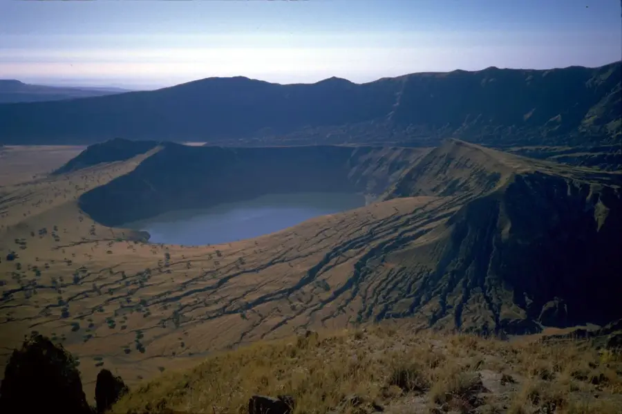
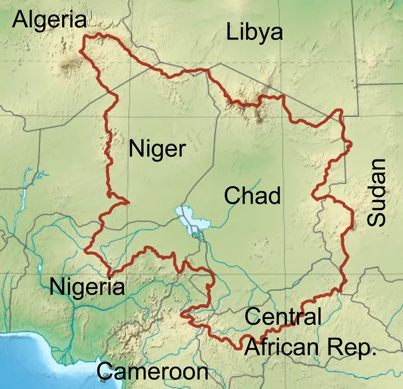
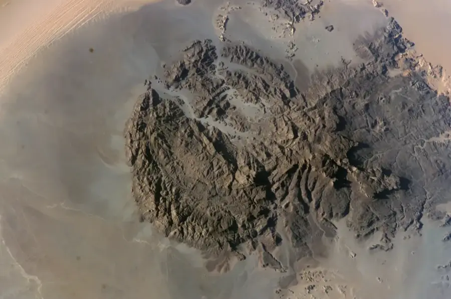
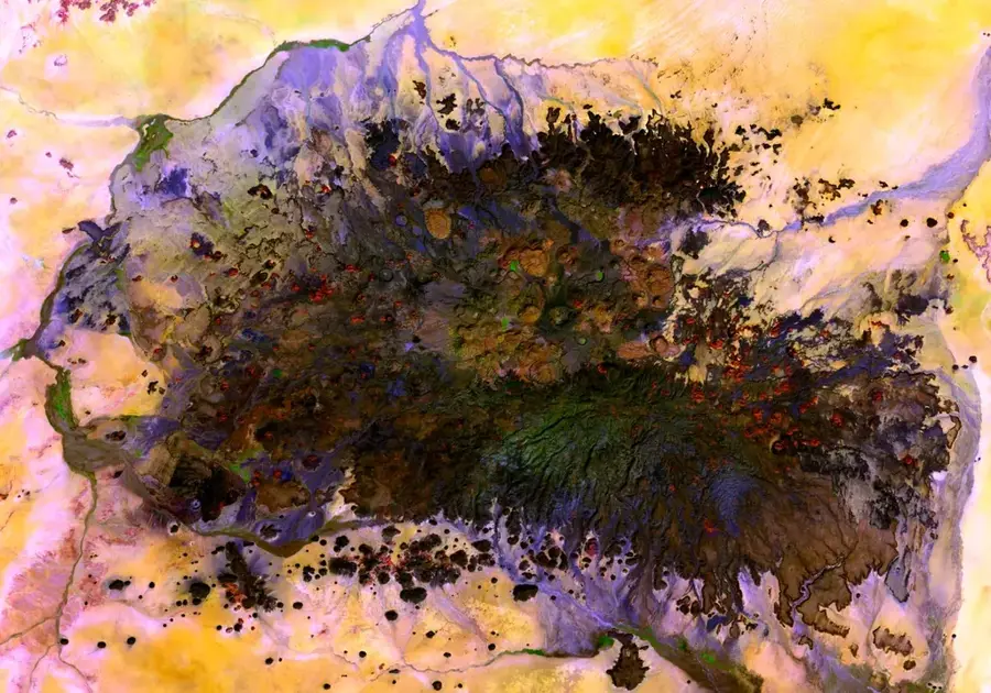
Jebel Meidob is an extensive volcanic field in North Darfur, Sudan, covering an area of approximately 5,000 square kilometers. It is a geologically young area characterized by hundreds of scoria cones, tuff rings, and vast lava flows. The highest elevation reaches about 2,000 meters above sea level, significantly towering over the surrounding desert. A particularly striking feature of the field is the Malha Crater, a deep maar lake containing saline water that serves as an important source for the local population and their livestock. Geologically, Jebel Meidob belongs to the Darfur volcanic province and was formed through hotspot activity. Historically, the area is the homeland of the Meidob people, a Nubian-speaking ethnic group known for their traditional lifestyle as sheep herders. The mountains provided shelter for centuries and were an important landmark on northern caravan routes. Today, the region is a destination for scientific expeditions dealing with volcanism in the Sahara due to its remote location and fascinating geological formations.
Best time to visit & climate
The most pleasant time to visit is Feb, Mar, Nov.
| Jan | Feb | Mar | Apr | May | Jun | Jul | Aug | Sep | Oct | Nov | Dec | |
|---|---|---|---|---|---|---|---|---|---|---|---|---|
| Avg °C | 16 | 19 | 22 | 26 | 29 | 30 | 30 | 29 | 29 | 26 | 20 | 16 |
| Rain mm | 0 | 0 | 0 | 0 | 3 | 1 | 23 | 34 | 5 | 2 | 0 | 0 |
📋 Practical info
Geography
Facts
- The volcanic field covers an area of approximately 5,000 square kilometers.
- Jebel Meidob contains nearly 700 individual volcanic vents.
- The Malha Crater is about 150 meters deep and 1,000 meters wide.
- The field's highest elevation is Jebel Meidob at 2,000 meters.
- Volcanic activities occurred as recently as less than 5,000 years ago.
- The region is the heartland of the Meidob people, who speak a Nubian language.
Explore nearby
Notable places around
Route planner — Car & Motorhome
Where do you start? We build the route here, with stops and country notes along the way.
© OpenStreetMap contributors · OpenRouteService
Sights nearby
Frequently asked questions
What characterizes Jebel Meidob?
Is it safe to travel there?
What is the best season?
Do I need special equipment?
What is nearby?
Jebel Meidob: where is it located?
Jebel Meidob: when is the best time to visit?
Jebel Meidob: why is it worth visiting?

More places