Plizio Visual Lab
Madu Ganga

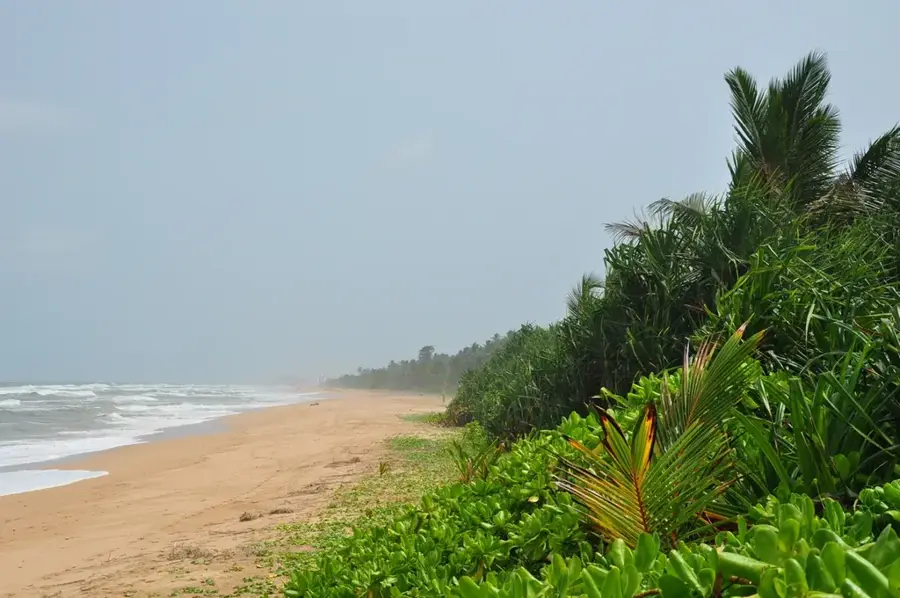
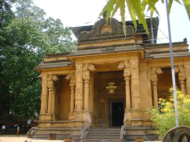
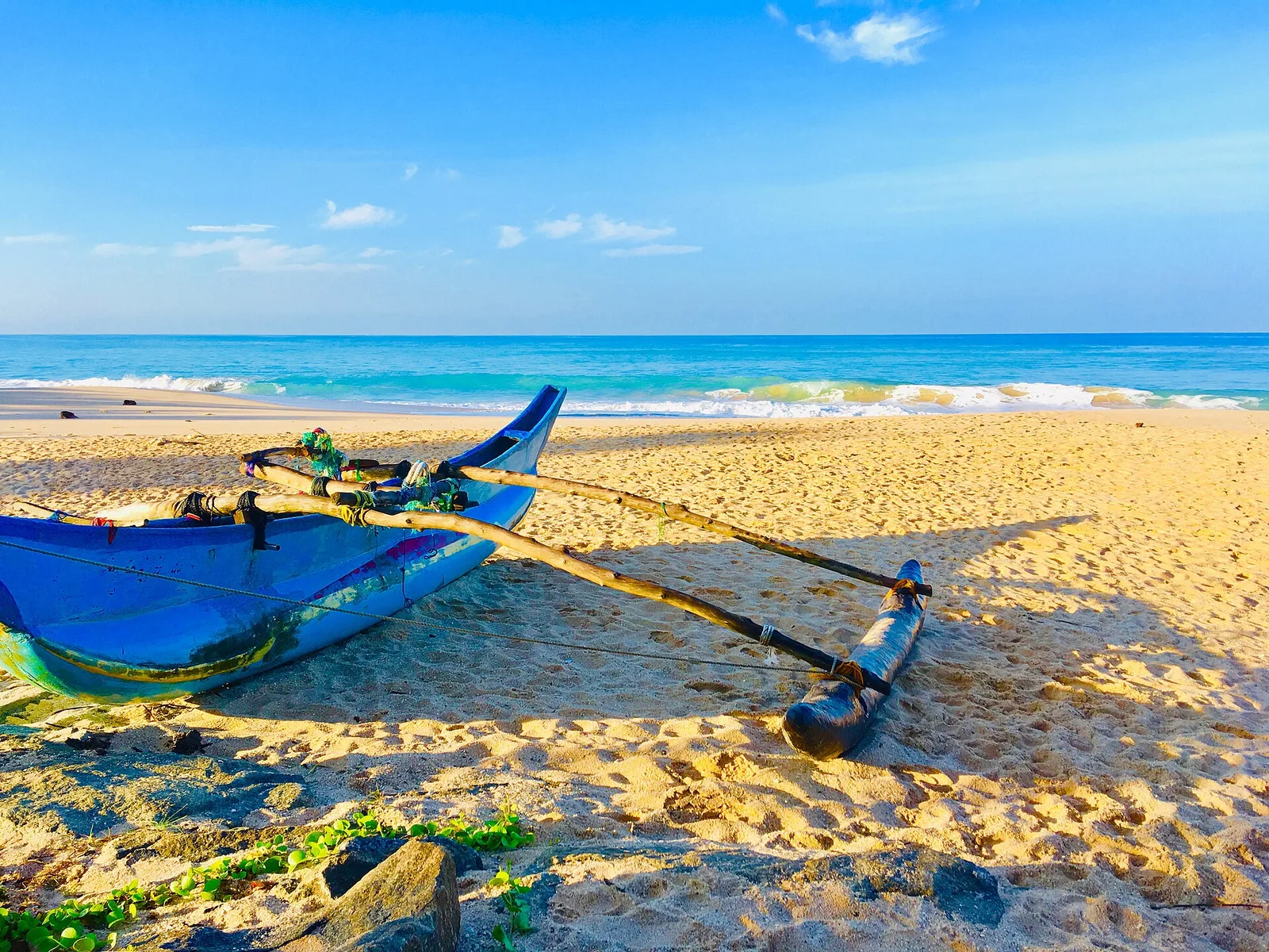
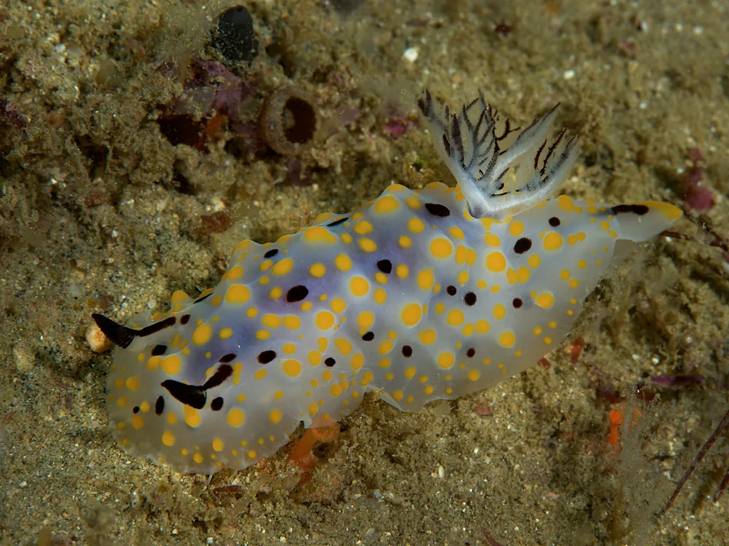
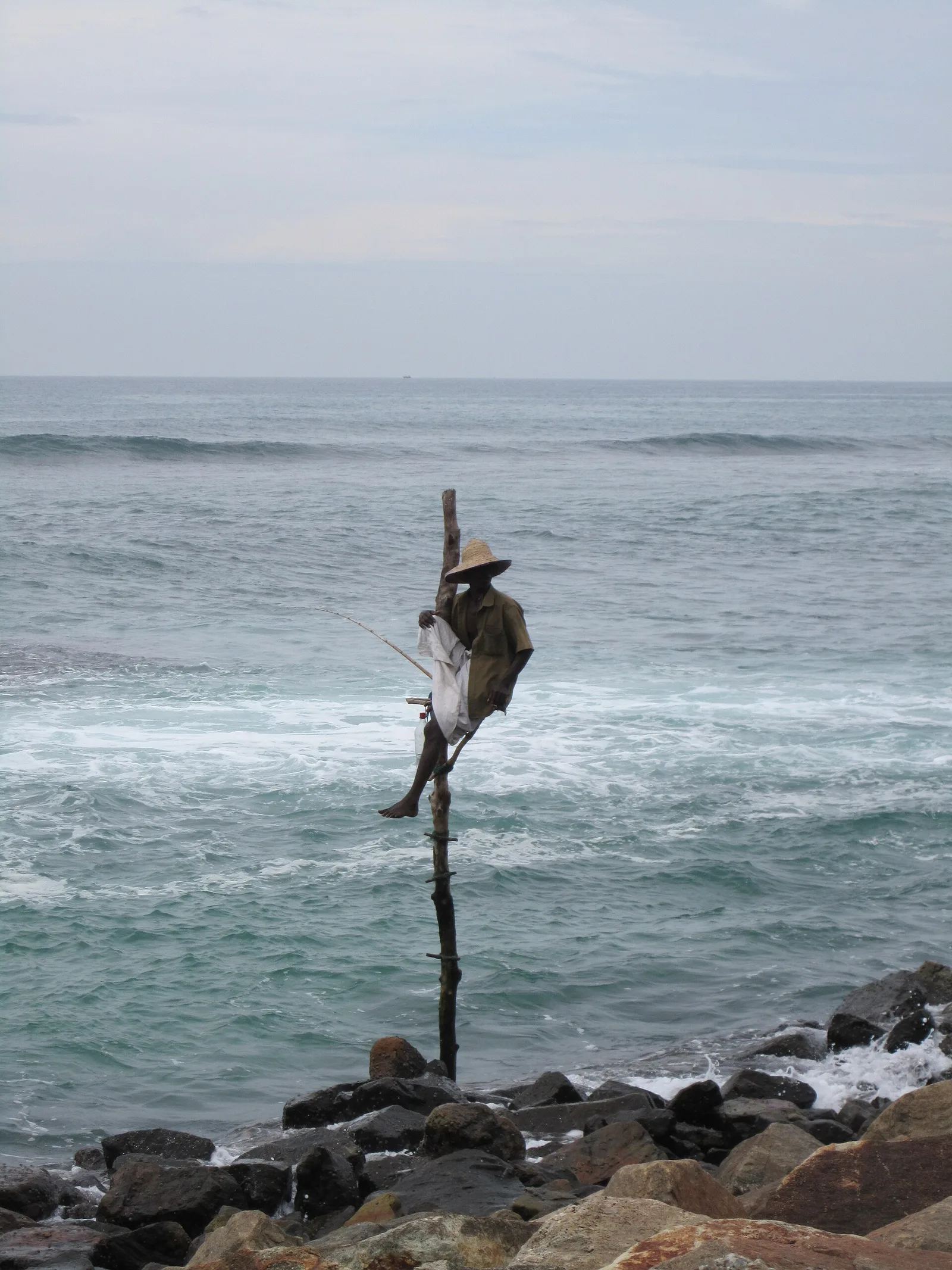
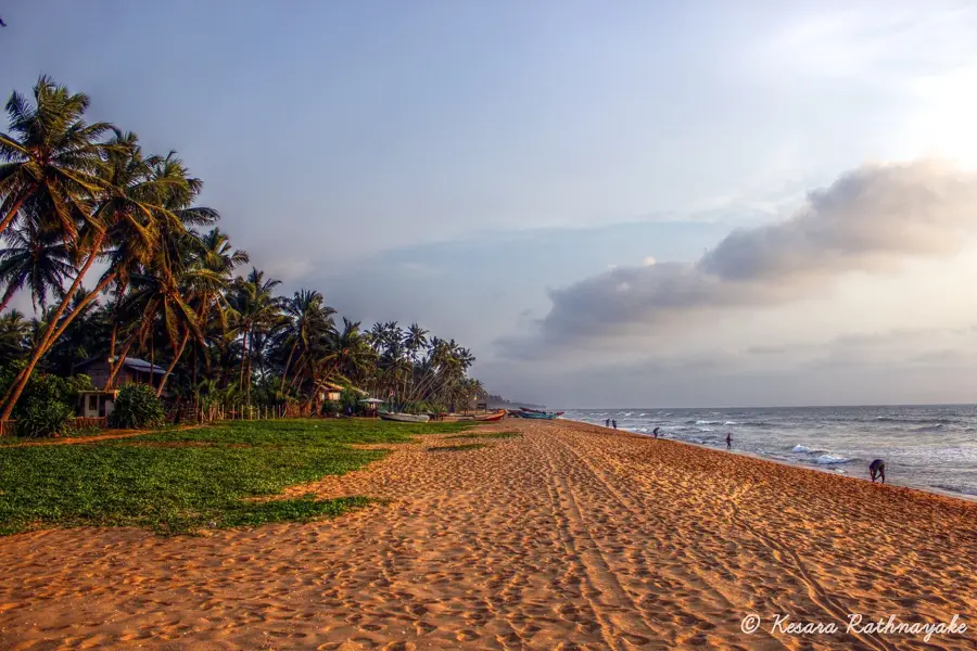
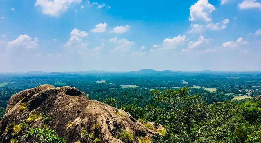
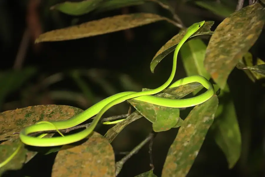
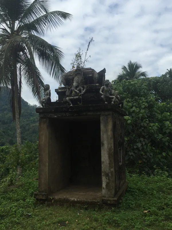
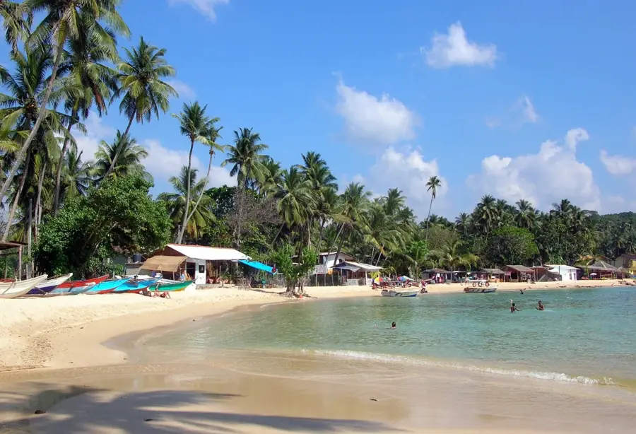
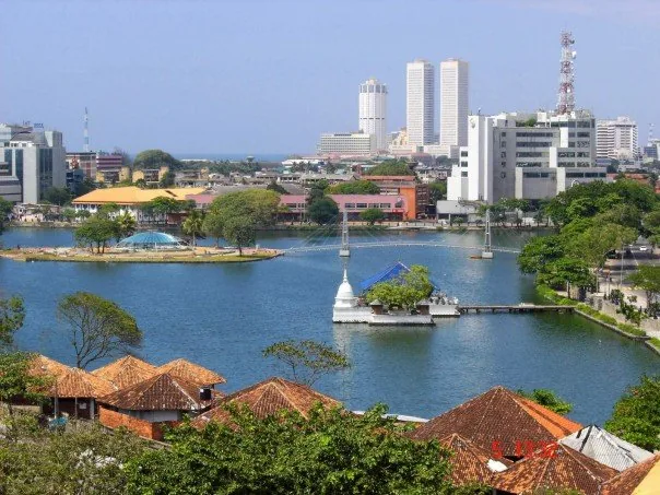
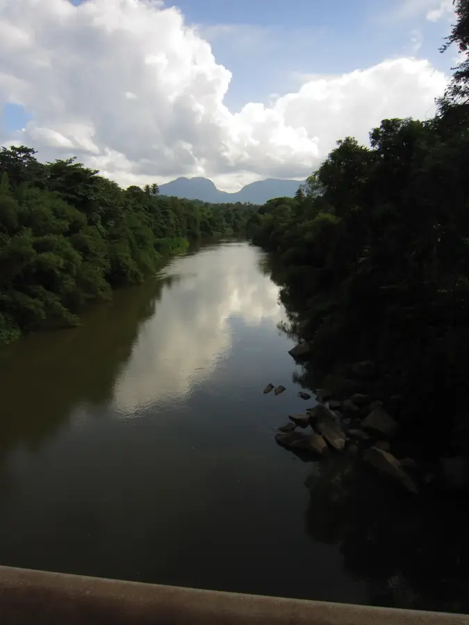
Madu Ganga is a complex estuary landscape in Balapitiya, southwestern Sri Lanka, renowned for its immense biological diversity. The wetland spans over 915 hectares and includes a multitude of islands, about 15 to 25 of which are currently inhabited or accessible to tourists. The region is lined with dense mangrove forests, which provide a vital ecosystem for numerous fish species, birds, and reptiles. One of its cultural highlights is the Kothduwa temple, located on one of the islands, featuring a reclining Buddha statue. Madu Ganga has been designated as a Ramsar wetland due to its global ecological significance, highlighting its status in international conservation. Tourists frequently use the waterways for boat safaris, where they can observe traditional fishing methods and local cinnamon production, which has been practiced on the islands for generations.
- Location: Sri Lanka
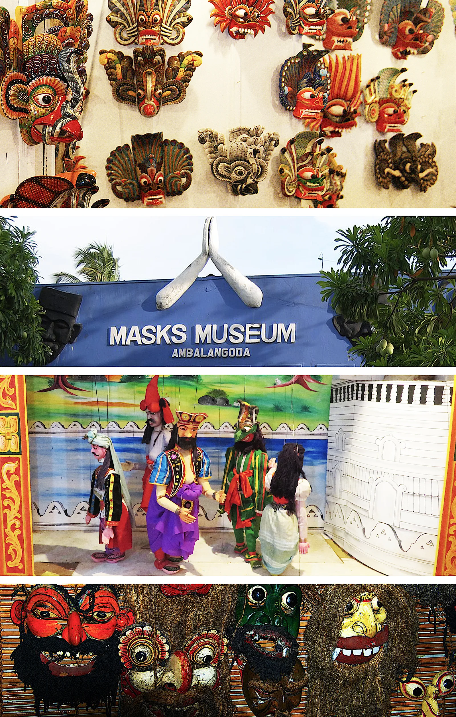
- Top sights: Tukkawadu Mask Museum · Ariyapala Masks Museum · Puppet Museum
- Nearby: Bentota (6 km)
Best time to visit & climate
The most pleasant time to visit is Jan, Feb, Jul.
| Jan | Feb | Mar | Apr | May | Jun | Jul | Aug | Sep | Oct | Nov | Dec | |
|---|---|---|---|---|---|---|---|---|---|---|---|---|
| Avg °C | 26 | 27 | 27 | 28 | 28 | 27 | 26 | 26 | 27 | 26 | 26 | 26 |
| Rain mm | 89 | 85 | 128 | 239 | 244 | 155 | 114 | 135 | 187 | 302 | 332 | 193 |
📋 Practical info
Geography
Facts
- The Madu Ganga estuary covers a total area of approximately 915 hectares.
- The region was designated as a Ramsar wetland in 2003.
- Originally there were 64 islands, but only about 25 are visible today.
- Kothduwa temple is a significant religious site located on one of the islands.
- The ecosystem supports over 300 species of diverse plants and animals.
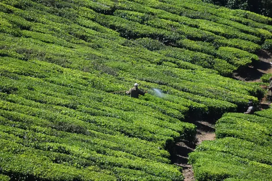
- Traditional cinnamon peeling is a major livelihood for the island residents.
Explore nearby
Notable places around
Route planner — Car & Motorhome
Where do you start? We build the route here, with stops and country notes along the way.
© OpenStreetMap contributors · OpenRouteService
Sights in the town Madu Ganga (9)
Puppet Museum🏛 museum
This museum preserves the rare art of traditional Rukada puppetry from the Ambalangoda region.
Sights nearby
Frequently asked questions
What is the highlight of a Madu River tour?
How much does a boat tour cost?
Where do the boats start from?
Is the fish therapy safe?
Can you see birds on the river?
Madu Ganga: where is it located?
Madu Ganga: what is there to see?
Madu Ganga: when is the best time to visit?
Madu Ganga: why is it worth visiting?

Nearby cities


History & landmarks
Nature
More places