Plizio Visual Lab
Kalu Ganga
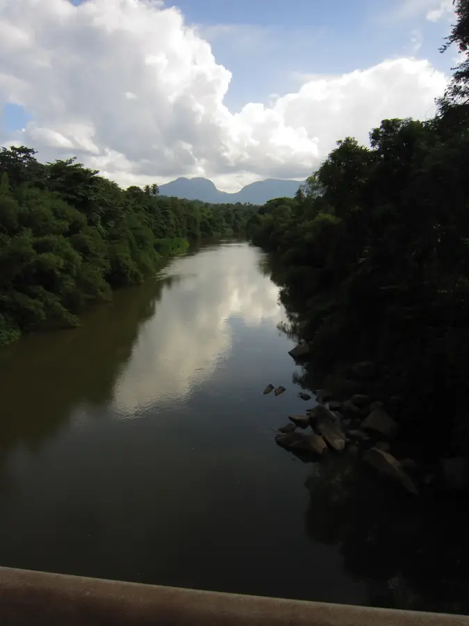
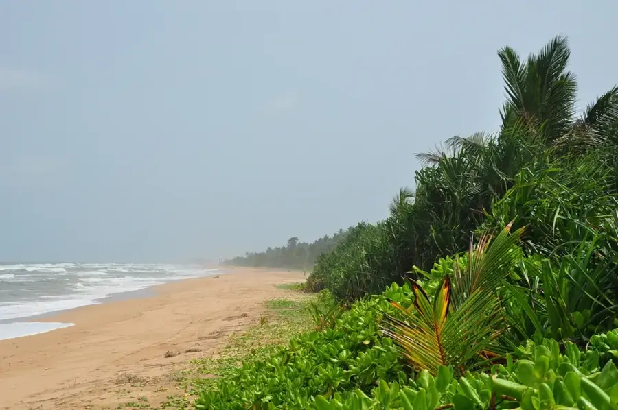
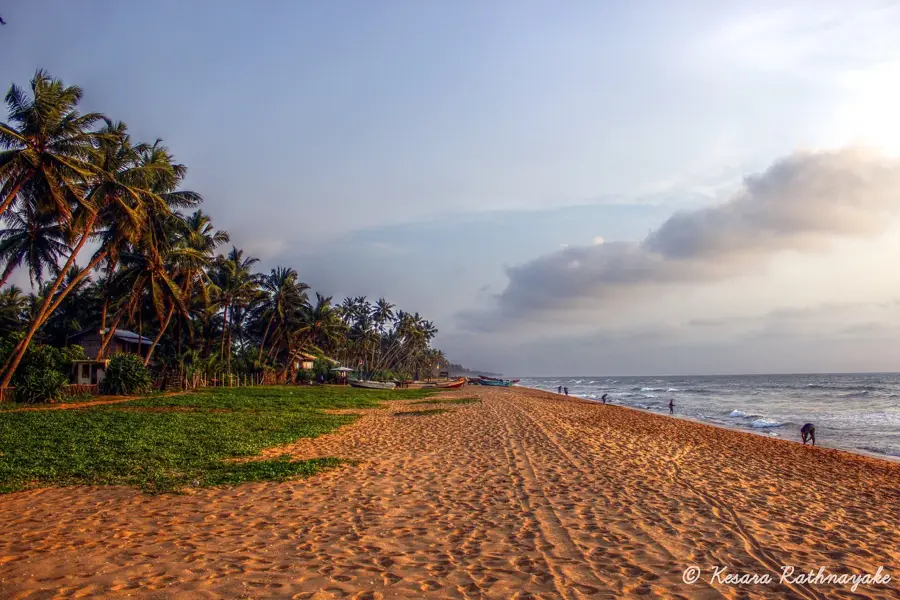
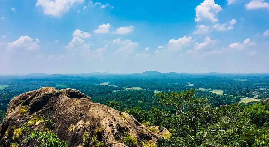
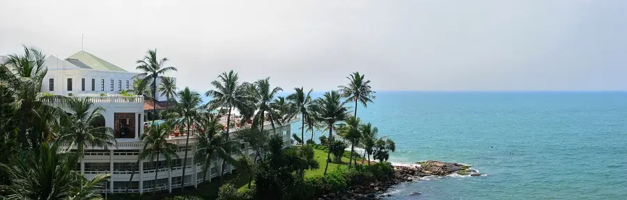
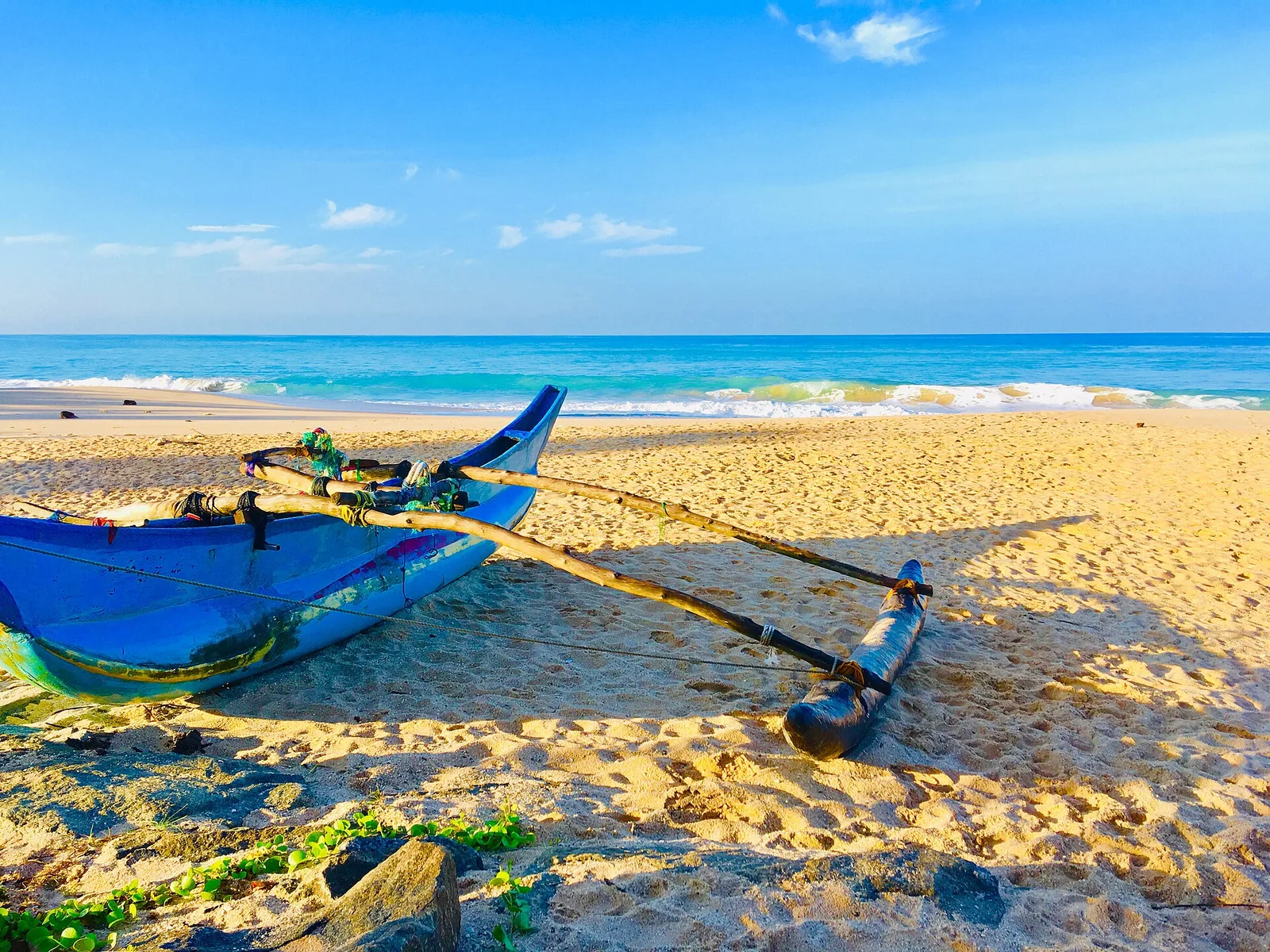
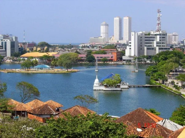
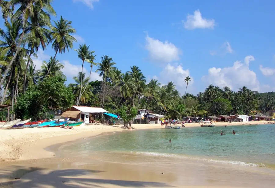
The Kalu Ganga, also known as the 'Black River', spans 129 kilometers and is one of Sri Lanka's most significant rivers due to its exceptionally high water discharge. It originates in the central highlands at Adam's Peak and flows through the Ratnapura District before reaching the Indian Ocean at Kalutara. Because its catchment area is located in one of the wettest regions of the island, the Kalu Ganga carries a greater volume of water relative to its length than most other rivers in the country. Geographically, it traverses low-lying terrains, which often leads to major flooding during the monsoon seasons but also enriches the surrounding agricultural lands. Economically, the river is world-renowned for the precious gemstones found in its bed, particularly near Ratnapura, known as the 'City of Gems'. Additionally, it serves as a traditional transport route and provides scenic beauty for local boat tourism.
- Location: Sri Lanka
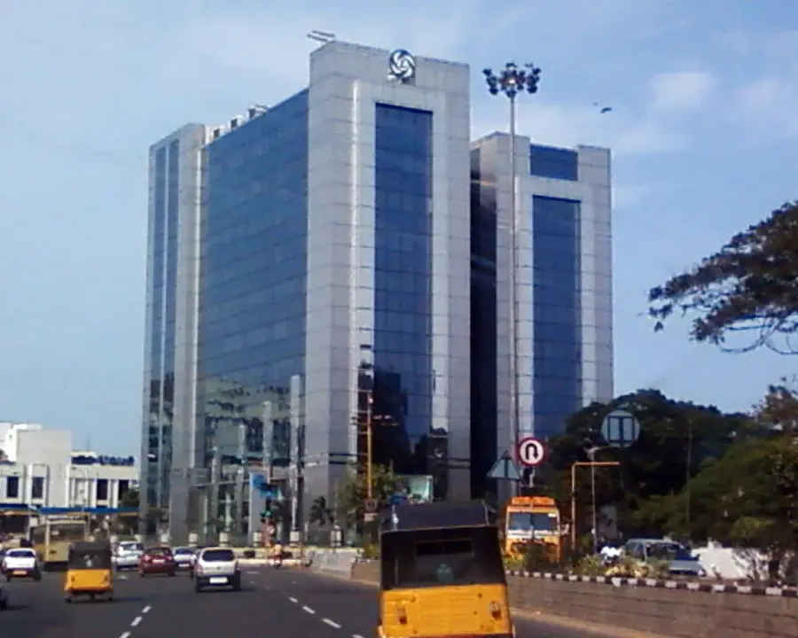
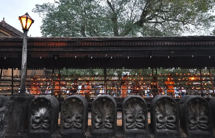
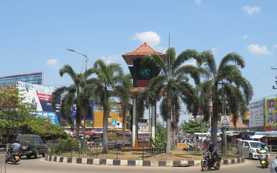
- Top sights: Richmond Castle · Holy Cross Church · Morontuduwa Fair
- Nearby: Aluthgama (5 km)
Best time to visit & climate
The most pleasant time to visit is Jan, Feb, Jul.
| Jan | Feb | Mar | Apr | May | Jun | Jul | Aug | Sep | Oct | Nov | Dec | |
|---|---|---|---|---|---|---|---|---|---|---|---|---|
| Avg °C | 26 | 27 | 27 | 28 | 28 | 27 | 26 | 26 | 27 | 26 | 26 | 26 |
| Rain mm | 89 | 85 | 128 | 239 | 244 | 155 | 114 | 135 | 187 | 302 | 332 | 193 |
📋 Practical info
Geography
Facts
- The Kalu Ganga has a total length of 129 kilometers.
- It originates from the sacred Adam's Peak in the central highlands.
- The river has one of the highest water discharge rates in Sri Lanka.
- Ratnapura, the hub of the gem industry, is located along its course.
- It flows into the Indian Ocean at the coastal town of Kalutara.
- The river's basin experiences some of the highest rainfall on the island.
Explore nearby
Notable places around
Route planner — Car & Motorhome
Where do you start? We build the route here, with stops and country notes along the way.
© OpenStreetMap contributors · OpenRouteService
Sights in the town Kalu Ganga (7)
Sights nearby
Frequently asked questions
Where can I take a boat trip on the Kalu River?
Is the Kalu River suitable for swimming?
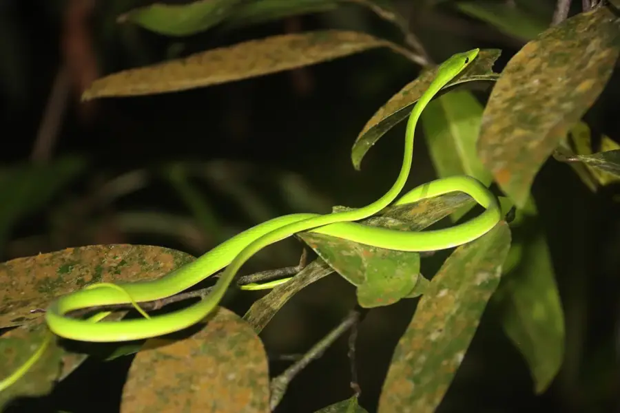
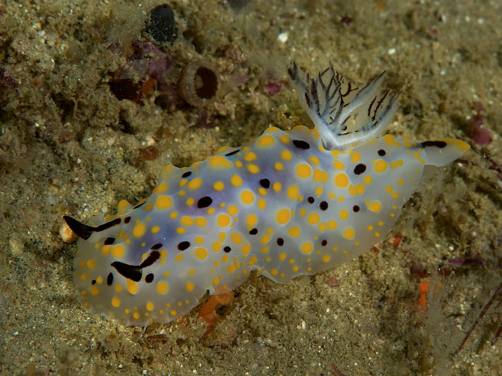
What wildlife can be seen along the Kalu River?
How long does a typical boat trip last?
When is the best time to visit?
Kalu Ganga: where is it located?
Kalu Ganga: what is there to see?
Kalu Ganga: when is the best time to visit?
Kalu Ganga: why is it worth visiting?

Nearby cities

History & landmarks
Nature
More places