Plizio Visual Lab
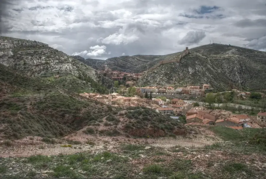
Sierra de Albarracín
Weather…
Water temperature…
The Sierra de Albarracín is a harsh yet thoroughly fascinating highland massif that forms the southwestern extension of the great Iberian System. It is located in the autonomous community of Aragon, specifically within the highly depopulated province of Teruel. With an average elevation that dramatically varies between 1200 and 1900 meters above sea level, this extensive mountain range is widely considered one of the coldest and most climatically demanding inhabited zones in all of Spain. The landscape is predominantly characterized by dense, seemingly endless forests of Scots pines and imposing reddish sandstone formations. The region holds enormous hydrological significance as a major water tower, since important Spanish rivers such as the mighty Tagus, as well as the Guadalaviar and Cabriel, originate here in its humid bogs and deep valleys. In addition to its natural beauty, the Sierra de Albarracín is world-famous for its valuable prehistoric findings and ancient cave paintings.
- Location: Galicia, Spain
- Top sights: Camino a cañón de los Arcos · Molino de Enmedio · Mirador del Batán
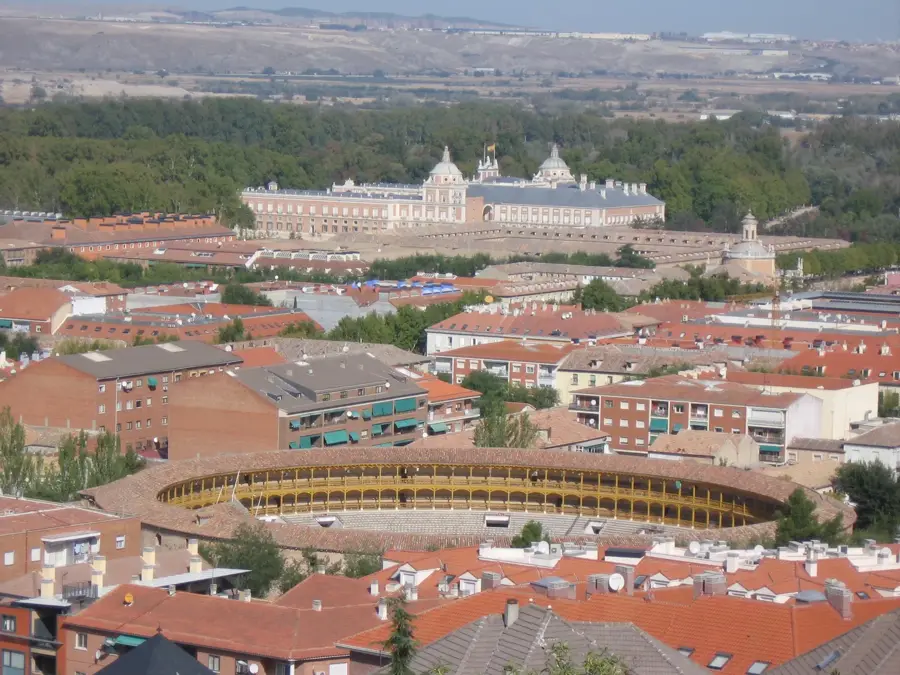
- Nearby: Albarracín (13 km)
Best time to visit & climate
The most pleasant time to visit is Jun–Aug.
| Jan | Feb | Mar | Apr | May | Jun | Jul | Aug | Sep | Oct | Nov | Dec | |
|---|---|---|---|---|---|---|---|---|---|---|---|---|
| Avg °C | 2 | 2 | 6 | 9 | 13 | 18 | 21 | 21 | 16 | 11 | 5 | 3 |
| Rain mm | 23 | 22 | 37 | 47 | 44 | 33 | 16 | 23 | 34 | 42 | 38 | 21 |
📋 Practical info
Geography
Explore nearby
Notable places around
Route planner — Car & Motorhome
Where do you start? We build the route here, with stops and country notes along the way.
© OpenStreetMap contributors · OpenRouteService
Sights in the town Sierra de Albarracín (5)
Sights nearby
Frequently asked questions
What is special about Albarracín?
Are there rock paintings there?
What is the climate like in summer?
Are there many pines there?
Which river flows through Albarracín?
Sierra de Albarracín: where is it located?
Sierra de Albarracín: what is there to see?
Sierra de Albarracín: when is the best time to visit?
Sierra de Albarracín: why is it worth visiting?

Nearby cities