Plizio Visual Lab
Serranía de Cuenca
Weather…
Water temperature…
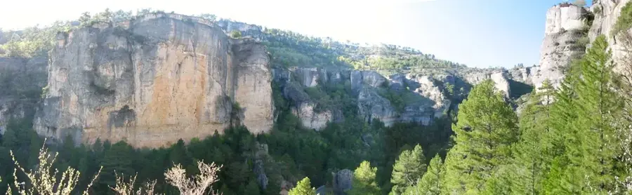
The Serranía de Cuenca is a fascinating mountainous landscape in the east of the autonomous community of Castile-La Mancha, forming an integral part of the Iberian System. With an average elevation exceeding 1200 meters, this region presents itself as an extensive high plateau composed primarily of extremely calcareous rock. The slow but steady erosive power of water and wind over millennia has created one of the most spectacular and largest karst areas in Europe. Deep gorges, known as hoces, carved deeply into the bedrock by the Júcar and Cuervo rivers, intersect the dense pine forests. However, the undisputed main attraction is the famous Ciudad Encantada, the "Enchanted City". This is a gigantic labyrinth of bizarre, sometimes mushroom-shaped rock formations that nature has washed out of the limestone like surreal sculptures. In 2007, the region was officially declared a Natural Park in order to preserve these unique geological formations and the rich local ecosystem.
- Location: Galicia, Spain
- Top sights: Mirador del Tío Cogote · Los Callejones de las Majadas
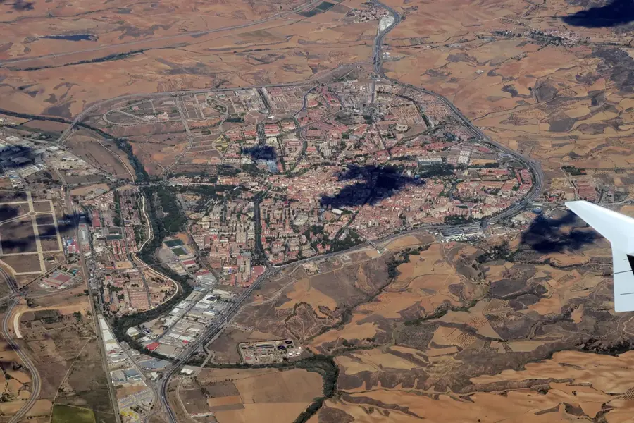
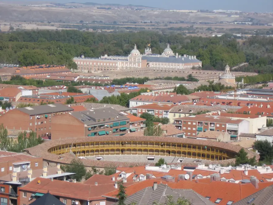
- Nearby: Cuenca (28 km)
Best time to visit & climate
The most pleasant time to visit is Jun–Aug.
| Jan | Feb | Mar | Apr | May | Jun | Jul | Aug | Sep | Oct | Nov | Dec | |
|---|---|---|---|---|---|---|---|---|---|---|---|---|
| Avg °C | 2 | 2 | 5 | 9 | 13 | 18 | 21 | 21 | 16 | 11 | 5 | 3 |
| Rain mm | 25 | 25 | 41 | 50 | 45 | 33 | 15 | 20 | 31 | 45 | 39 | 24 |
📋 Practical info
Geography
Explore nearby
Notable places around
Route planner — Car & Motorhome
Where do you start? We build the route here, with stops and country notes along the way.
© OpenStreetMap contributors · OpenRouteService
Sights in the town Serranía de Cuenca (2)
Sights nearby
Frequently asked questions
What is the 'Ciudad Encantada'?
Which rivers rise here?
Can you see vultures there?
Are there waterfalls there?
How far is it from Cuenca city?
Serranía de Cuenca: where is it located?
Serranía de Cuenca: what is there to see?
Serranía de Cuenca: when is the best time to visit?
Serranía de Cuenca: why is it worth visiting?

Nearby cities