Plizio Visual Lab
Sobat River

Weather…
Water temperature…
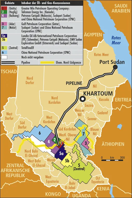
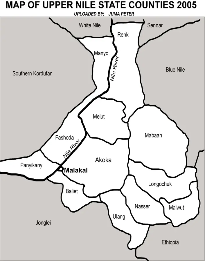
The Sobat River is a major right-bank tributary of the White Nile in northeastern South Sudan, playing a pivotal role in the country's hydrological system. It is formed by the convergence of the Baro and Pibor rivers near the Ethiopian border and flows northwestward until it joins the Nile south of the city of Malakal. A defining characteristic of the Sobat is its milky appearance during the flood season, caused by the high concentration of pale-colored sediment washed down from the Ethiopian Highlands, which earned it the name 'White River.' The river exhibits a highly seasonal flow regime, carrying massive volumes of water between June and December while receding significantly during the dry months. Geologically, the Sobat is responsible for transporting vast amounts of fertile alluvial silt into the South Sudanese plains. The riparian region is the ancestral home of the Nuer and Shilluk peoples, who rely on the river for fishing and floodplain agriculture. Additionally, the Sobat serves as an important transport artery for regional trade and movement.
- Location: South Sudan
- Nearby: Nasir (66 km)
Best time to visit & climate
The most pleasant time to visit is Jan, Nov, Dec.
| Jan | Feb | Mar | Apr | May | Jun | Jul | Aug | Sep | Oct | Nov | Dec | |
|---|---|---|---|---|---|---|---|---|---|---|---|---|
| Avg °C | 29 | 32 | 33 | 33 | 30 | 28 | 27 | 27 | 27 | 28 | 29 | 29 |
| Rain mm | 1 | 1 | 8 | 37 | 87 | 85 | 117 | 131 | 105 | 91 | 19 | 3 |
📋 Practical info
Geography
Facts
- The Sobat River flows for approximately 354 kilometers from the junction of its headwaters.
- Its drainage basin encompasses an area of roughly 225,000 square kilometers.
- During peak flood times, the Sobat can contribute over half of the White Nile's flow at Malakal.
- The river is navigable for large commercial barges as far as the Ethiopian border in the wet season.
- The white silt carried by the Sobat is geologically distinct from the sediments of the main Nile.
- The river basin is a key area for the cultivation of sorghum and maize in South Sudan.
Explore nearby
Notable places around
Route planner — Car & Motorhome
Where do you start? We build the route here, with stops and country notes along the way.
© OpenStreetMap contributors · OpenRouteService
Sights nearby
Frequently asked questions
What is the role of the Sobat?
Can you fish on the Sobat?
Is the river navigable year-round?
What is the vegetation like on the riverbank?
Are there dangerous currents?
Sobat River: where is it located?
Sobat River: when is the best time to visit?
Sobat River: why is it worth visiting?

Nearby cities


History & landmarks

More places