Plizio Visual Lab
Malakal
ℹ️Practical info — Malakal
▾
🌤 Weather — 5 days
📍 Nearby
Sights nearby
💡 Tips
- Always check the latest security situation and consult local authorities or NGO advisories before traveling to Malakal.
- The White Nile is the region's lifeline; observing the river traffic is fascinating, but always ask permission before taking photos.
- Bring all necessary medications, toiletries, and specialized equipment from Juba, as local amenities are very basic.
- It gets extremely hot during the day. Plan any necessary outdoor movement or market visits for the early morning.
- The local economy relies entirely on cash (South Sudanese Pounds). There are no reliable ATMs, so bring sufficient currency.
🍽 Food
Freshly caught fish from the White Nile, typically fried and available at simple eateries near the river.
The local sorghum flatbread used to scoop up traditional stews and okra soups.
A hearty and common fava bean breakfast option found at small street-side food stalls.
🛍 Shopping · 🧘 Quiet spots
The bustling center of commerce for everyday goods and local produce from the river basin.
Occasionally available from local artisans at the market, reflecting Nilotic craftsmanship.
Sitting quietly near the river to watch the water flow is the most serene experience in town (stay mindful of security).
The farming areas on the edge of the town offer a quieter environment away from the busy, dusty market center.
Water temperature…
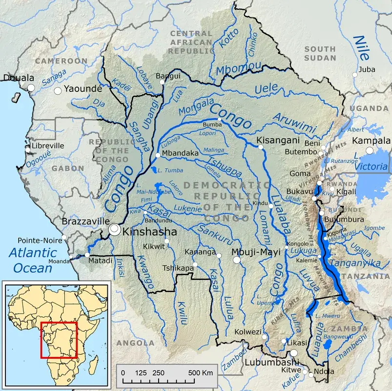
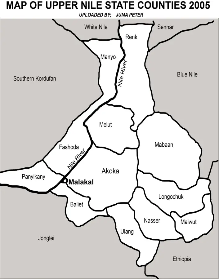
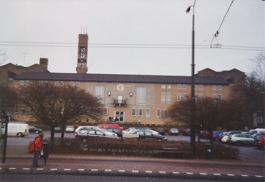
Malakal, the capital of Upper Nile State, is historically considered South Sudan's second city due to its economic and political weight. Strategically positioned on the eastern bank of the White Nile near its confluence with the Sobat River, it serves as a critical gateway to the northern reaches of the country and neighboring Sudan. The city's history is deeply intertwined with the Shilluk Kingdom, whose monarchical traditions continue to influence the social hierarchy of the area. As a diverse urban center, Malakal is home to Shilluk, Dinka, and Nuer populations, along with a significant merchant community from the Arab world and East Africa. Economically, Malakal is the logistical hub for the nation's oil industry, being the nearest major city to the prolific Paloich oil fields. This proximity has driven urban development and infrastructure projects, including the modernization of the Malakal Airport. The city is also a primary river port, where barges transport essential commodities, grains, and fuel across the Sudd wetlands to Juba. Educationally, the Upper Nile University is a landmark institution that draws scholars from across the region, fostering an environment of intellectual growth and resilience. The city's architecture is a unique blend of Sudanese brick-style housing and colonial-era administrative buildings, though much of it is currently undergoing restoration following past conflicts. The climate is tropical wet and dry, with extreme heat during the dry months and high humidity during the rainy season. Culturally, Malakal is known for its spirited marketplaces and riverfront activities, which are central to the daily lives of its residents. As a symbol of northern stability and economic potential, Malakal plays a leading role in the national integration and the future development of South Sudan's energy and agricultural sectors.
- Location: South Sudan
- Top sights: Malakal Stadium · Diocese of Malakal · Battle of Malakal
- Nearby: Kodok (60 km)
- Population: ~160.765 (2026)
Best time to visit & climate
The most pleasant time to visit is Jan, Nov, Dec.
| Jan | Feb | Mar | Apr | May | Jun | Jul | Aug | Sep | Oct | Nov | Dec | |
|---|---|---|---|---|---|---|---|---|---|---|---|---|
| Avg °C | 28 | 31 | 33 | 33 | 31 | 29 | 27 | 26 | 27 | 28 | 29 | 28 |
| Rain mm | 0 | 0 | 1 | 22 | 80 | 104 | 141 | 172 | 145 | 92 | 5 | 2 |
Geography
Facts
- Capital of Upper Nile State and the country's second-largest city.
- Located on the east bank of the White Nile at 9.533N latitude.
- Historical and cultural heartland of the Shilluk ethnic group.
- Home to the Upper Nile University, providing higher education for the north.
- Major river port facilitating trade between South Sudan and Sudan.
- Key support center for the oil production activities in the Melut Basin.
- Features a significant regional airport with connections to Juba.
- Climate is characterized by high temperatures, often exceeding 35°C.
Explore nearby
Notable places around
Route planner — Car & Motorhome
Where do you start? We build the route here, with stops and country notes along the way.
© OpenStreetMap contributors · OpenRouteService
Sights in the town Malakal (3)
Frequently asked questions
What is the economic significance?
Is the place touristically developed?
What is the climate like?
What is nearby?
Is the place visited?
Malakal: where is it located?
Malakal: what is there to see?
Malakal: when is the best time to visit?
Malakal: why is it worth visiting?

Nearby cities


History & landmarks

Nature
More places