Plizio Visual Lab
Nasir

ℹ️Practical info — Nasir
▾
🌤 Weather — 5 days
📍 Nearby
Sights nearby
💡 Tips
- Nasir is located on the Sobat River; boats are the primary mode of transport for goods and people.
- The Ethiopian border is nearby; check local regulations before attempting to visit border areas.
- The climate is extremely hot and humid; stay hydrated and protect yourself from the sun.
- Electricity is scarce; most residents and shops rely on solar power systems.
- During the rainy season, the Sobat River can flood; plan your travel dates carefully.
🍽 Food
Excellent fish from the river, often served in a spicy tomato-based sauce.
Due to the proximity to Ethiopia, this sourdough flatbread is commonly available.
A local staple grain cooked into a thick porridge and served with vegetable stews.
🛍 Shopping · 🧘 Quiet spots
Traders bring goods by boat directly to the bank, selling food and household items.
Handmade clay pots used for cooling water are a common and useful local product.
Walking along the river in the late afternoon provides a cool breeze and a quiet escape.
Small groups of trees outside the town center offer shade and a peaceful environment.
Water temperature…
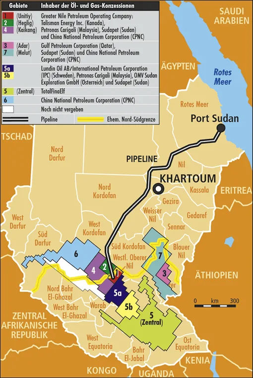
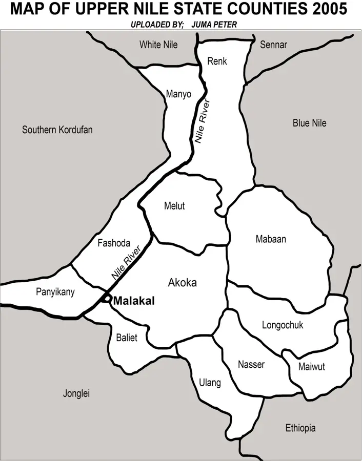
Nasir is a strategically vital town in the Upper Nile State of South Sudan, located on the northern bank of the Sobat River near the Ethiopian border. The town is a heartland for the Nuer people and played a pivotal role in the country's political history, most notably during the 1991 split within the SPLM/A. Nasir's position on a navigable river makes it an essential transit point for goods moving between the South Sudanese interior and the Ethiopian highlands. The geography is defined by the broad plains of the Sobat basin, which undergo seasonal flooding that replenishes the soil for local agriculture. Historically, Nasir was the site of an influential American mission station that significantly impacted regional education and healthcare. Despite suffering extensive damage during multiple conflicts, the town remains a bastion of Nuer cultural autonomy and political influence. Today, Nasir serves as a critical hub for humanitarian logistics and cross-border movements in eastern South Sudan.
Best time to visit & climate
The most pleasant time to visit is Jan, Nov, Dec.
| Jan | Feb | Mar | Apr | May | Jun | Jul | Aug | Sep | Oct | Nov | Dec | |
|---|---|---|---|---|---|---|---|---|---|---|---|---|
| Avg °C | 30 | 32 | 33 | 32 | 29 | 27 | 26 | 26 | 27 | 28 | 28 | 29 |
| Rain mm | 2 | 2 | 15 | 42 | 100 | 96 | 121 | 125 | 113 | 106 | 28 | 10 |
Geography
Facts
- Located on the northern bank of the Sobat River
- Approximately 30 kilometers from the Ethiopian border
- Site of the 1991 Nasir Declaration during the civil war
- Primary hub for the Jikany Nuer ethnic group
- Strategic river port for trade with Ethiopia
- Home to Nasir Airport, essential for humanitarian access
Explore nearby
Notable places around
Route planner — Car & Motorhome
Where do you start? We build the route here, with stops and country notes along the way.
© OpenStreetMap contributors · OpenRouteService
Sights in the town Nasir (1)
Frequently asked questions
Where is Nasir?
Is tourism possible?
What is the security situation?
What is the main activity?
Is there public transport?
Nasir: where is it located?
Nasir: when is the best time to visit?
Nasir: why is it worth visiting?

Nearby cities

History & landmarks

Nature
More places