Plizio Visual Lab
Obo
ℹ️Practical info — Obo
▾
🌤 Weather — 5 days
📍 Nearby
Sights nearby
💡 Tips
- Access is primarily via UNHAS flights; overland travel from Bangui is extremely difficult and often insecure.
- Bring all the cash (CFA francs) you will need, as banking facilities are completely non-existent.
- Electricity is scarce; a reliable power bank or solar charger is essential for your devices.
- Coordinate with local authorities or NGOs upon arrival for the latest security updates.
🍽 Food
The staple food of the region. Try it at small local food stalls, often served with a rich peanut sauce.
Look around the market area for stalls offering freshly caught and grilled fish from the nearby rivers.
Buy fresh mangoes and bananas directly from vendors in the central market.
🛍 Shopping · 🧘 Quiet spots
The main hub for basic provisions, local agricultural produce, and household goods.
Around the market, you can find tailors who make custom garments from colorful wax-print fabrics.
These secure areas often provide the most peaceful and shaded spots to relax within the town.
Only venture to the edges of the settlement to enjoy the natural surroundings if accompanied by a trusted local guide.
Water temperature…
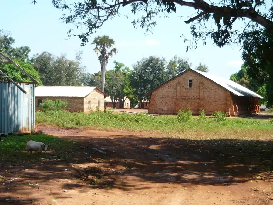
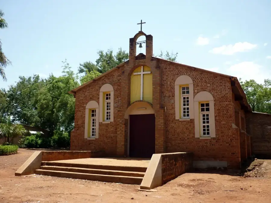
Obo is the capital of the Haut-Mbomou prefecture in the far eastern part of the Central African Republic. The town is situated in an extremely remote region on the Vovodo River, near the tripoint with South Sudan and the Democratic Republic of the Congo. Established in 1912, Obo was founded to ensure administrative oversight in this distant part of the country. Due to its geographical isolation, the town relies heavily on air links and local resources, as the road connection to Bangui is over 1,200 kilometers long and frequently in poor condition. The local economy is characterized by subsistence farming and local trade. Historically, the region around Obo has often been affected by regional instability due to its border proximity, making the town a haven for internally displaced persons and refugees from neighboring countries. The landscape features a mix of savannahs and dense gallery forests along the riverbanks. Obo serves as the seat of the prefecture's administration and houses schools as well as one of the few medical facilities in this part of the country. The town's culture is shaped by various ethnic groups of the region who maintain active social connections despite their isolation.
- Location: Central African Republic
- Population: ~14.402 (2026)
Best time to visit & climate
The most pleasant time to visit is Jan, Nov, Dec.
| Jan | Feb | Mar | Apr | May | Jun | Jul | Aug | Sep | Oct | Nov | Dec | |
|---|---|---|---|---|---|---|---|---|---|---|---|---|
| Avg °C | 26 | 29 | 28 | 26 | 25 | 25 | 24 | 24 | 25 | 25 | 25 | 26 |
| Rain mm | 10 | 19 | 73 | 150 | 191 | 171 | 167 | 216 | 184 | 198 | 46 | 12 |
Geography
Facts
- Capital city of the Haut-Mbomou prefecture in the east.
- Established in 1912 to secure the national borders.
- Located on the Vovodo River near the international tripoint.
- The distance to the capital city, Bangui, exceeds 1,200 km.
- Strategically important location for humanitarian organizations.
- Surrounded by a mix of savannahs and dense gallery forests.
Explore nearby
Notable places around
Route planner — Car & Motorhome
Where do you start? We build the route here, with stops and country notes along the way.
© OpenStreetMap contributors · OpenRouteService
Frequently asked questions
Where is Obo located?
Why did Obo become internationally known?
How is the connection to the rest of the country?
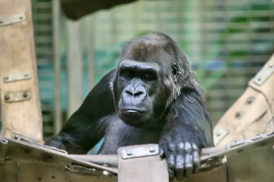
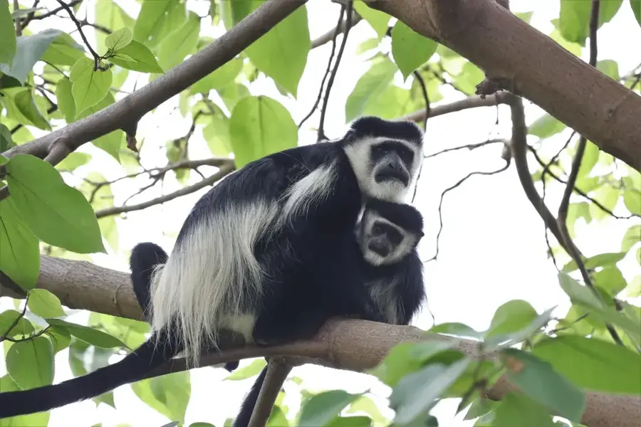
Are there wild animals there?
What is the best time to travel to Obo?
Obo: where is it located?
Obo: when is the best time to visit?
Obo: why is it worth visiting?

Nearby cities
More places