Plizio Visual Lab
Laboni Forest

Weather…
Water temperature…
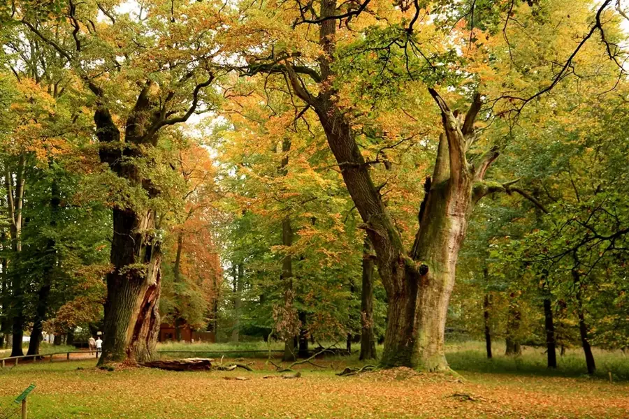
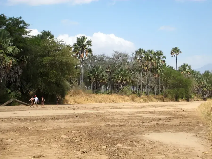
The Laboni Forest is a significant tropical rainforest area situated in the Imatong Mountains of southern South Sudan, near the Ugandan border. It constitutes a portion of the Afromontane ecosystem, which is world-renowned for its high number of endemic animal and plant species. The forest spans rugged terrain, encompassing both lowland and montane rainforest formations characterized by high humidity and consistent rainfall throughout the year. Historically, the Laboni Forest was difficult to access due to regional political instability, which paradoxically contributed to its protection from large-scale deforestation and commercial logging. Today, the area is regarded as one of the last intact primary forests in the region, housing rare species such as the Imatong mountain toad and various endangered birds. The preservation of this forest is also vital for regulating the local microclimate and securing water resources for communities living in the lower valleys.
- Location: South Sudan
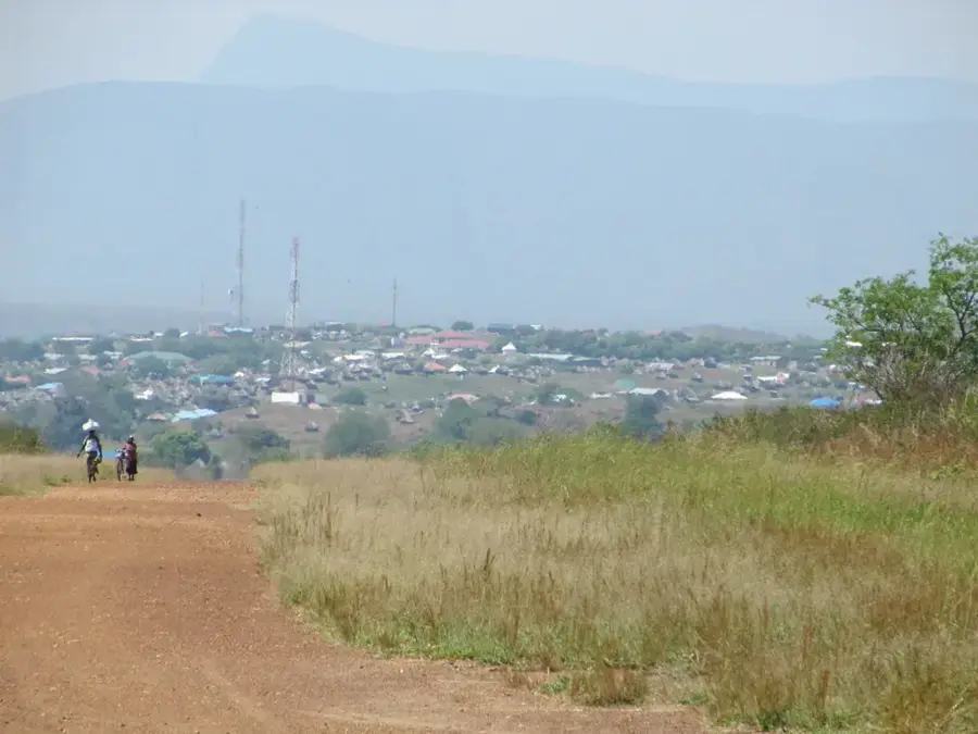
- Nearby: Magwi (39 km)
Best time to visit & climate
The most pleasant time to visit is Jan, Nov, Dec.
| Jan | Feb | Mar | Apr | May | Jun | Jul | Aug | Sep | Oct | Nov | Dec | |
|---|---|---|---|---|---|---|---|---|---|---|---|---|
| Avg °C | 27 | 28 | 28 | 27 | 25 | 24 | 23 | 23 | 24 | 25 | 25 | 25 |
| Rain mm | 12 | 13 | 43 | 86 | 125 | 102 | 110 | 127 | 119 | 134 | 68 | 43 |
📋 Practical info
Geography
Facts
- Part of the Afromontane biological hotspot
- Borders the Kitgum District of Uganda
- Habitat for the endemic Imatong mountain toad
- Contains primary rainforest formations
- Significant carbon sink for the region
- Elevation ranges between 1,000 and 2,000m
Explore nearby
Notable places around
Route planner — Car & Motorhome
Where do you start? We build the route here, with stops and country notes along the way.
© OpenStreetMap contributors · OpenRouteService
Sights nearby
Frequently asked questions
Is Laboni forest suitable for children?
Are there marked trails?
Is the mosquito risk high?
How long is the forest open?
Are there picnic spots?
Laboni Forest: where is it located?
Laboni Forest: when is the best time to visit?
Laboni Forest: why is it worth visiting?

Nearby cities
History & landmarks
Nature
More places