Plizio Visual Lab
Imatong Mountains

ℹ️Practical info — Imatong Mountains
▾
🌤 Weather — 5 days
📍 Nearby
Sights nearby
Water temperature…
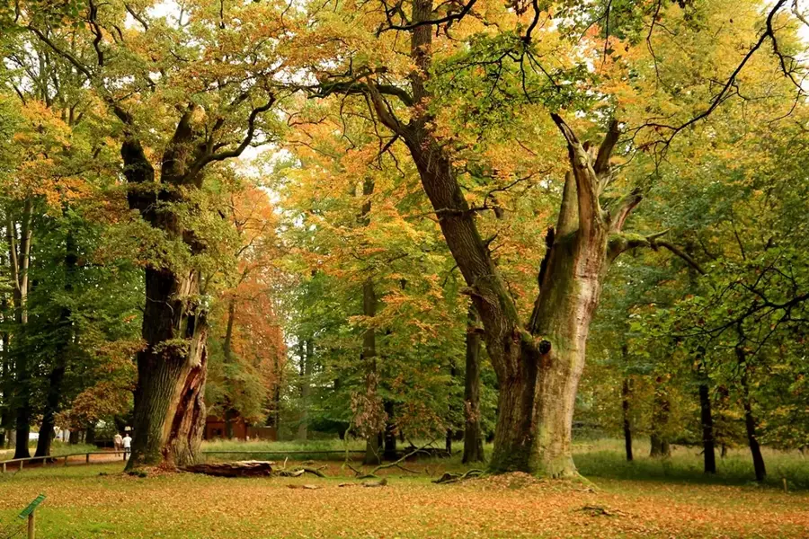
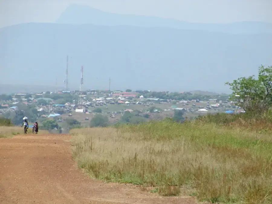
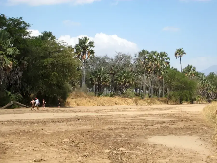
The Imatong Mountains, located in southeastern South Sudan, represent one of East Africa's most vital ecological treasures. The range is home to Mount Kinyeti, the nation's highest peak at 3,187 meters. These mountains rise dramatically above the surrounding savannahs, creating a world of dense tropical rainforests, alpine meadows, and incredible biodiversity. For adventurous travelers, the region has untouched wilderness and a chance to spot endemic bird species and rare primates. The cool, high-altitude climate provides handy conditions for coffee and tea cultivation, which holds great promise for the local economy. Culturally, the mountains are the ancestral home of ethnic groups like the Lotuko and Acholi, who have lived in harmony with the rugged terrain for centuries. For trekking enthusiasts, the Imatongs provide a challenging yet rewarding landscape of mist-shrouded forests and craggy peaks that remain largely unexplored by international tourism. Access is typically coordinated through the town of Torit. Due to limited infrastructure, visiting the area requires significant planning and serves as a true expedition into the wild. The best time for trekking is during the dry season between December and February. While conditions are basic, the reward is an unparalleled experience in one of Africa's most spectacular and least-visited mountain environments.
- Location: South Sudan
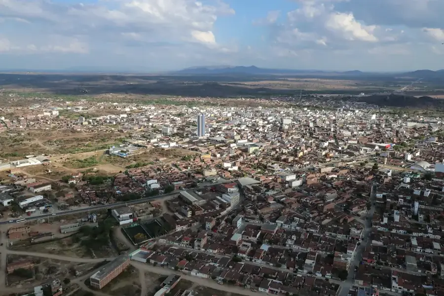
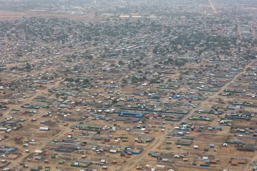
- Nearby: Magwi (61 km)
Best time to visit & climate
The most pleasant time to visit is Jan, Nov, Dec.
| Jan | Feb | Mar | Apr | May | Jun | Jul | Aug | Sep | Oct | Nov | Dec | |
|---|---|---|---|---|---|---|---|---|---|---|---|---|
| Avg °C | 26 | 27 | 27 | 26 | 25 | 24 | 23 | 23 | 25 | 24 | 24 | 25 |
| Rain mm | 13 | 14 | 44 | 85 | 118 | 98 | 107 | 118 | 115 | 130 | 64 | 40 |
Geography
Facts
- Home to Mount Kinyeti (3,187m)
- Highest mountain range in South Sudan
- Lush tropical and montane rainforests
- Refreshing high-altitude climate
- Rich biodiversity and endemic species
- Potential for coffee and tea production
- Home to Lotuko and Acholi peoples
- Strategically borders Uganda
Explore nearby
Notable places around
Route planner — Car & Motorhome
Where do you start? We build the route here, with stops and country notes along the way.
© OpenStreetMap contributors · OpenRouteService
Frequently asked questions
Imatong Mountains: where is it located?
Imatong Mountains: when is the best time to visit?
Imatong Mountains: why is it worth visiting?

Nearby cities
History & landmarks
Nature
More places