Plizio Visual Lab
Torit
ℹ️Practical info — Torit
▾
🌤 Weather — 5 days
📍 Nearby
Sights nearby
💡 Tips
- Travel by road from Juba only during daylight hours due to road conditions and security considerations.
- Carry plenty of South Sudanese Pounds in cash, as card payments are rarely accepted outside of large hotels.
- Visit the Torit Mutiny memorial in the town center to understand a crucial piece of local history.
- A 4WD vehicle is essential for exploring the surrounding areas, especially during the rainy season.
- Never photograph military or government buildings, and always ask for permission before taking pictures of locals.
🍽 Food
A traditional porridge usually served with okra or meat stews at food stalls in the local markets.
Fresh fish from regional rivers, mostly grilled or fried, available at simple street-side eateries.
Enjoy the heavily sweetened local tea flavored with cardamom or cinnamon at small roadside cafes.
🛍 Shopping · 🧘 Quiet spots
The central hub for finding fresh produce, basic goods, and colorful regional fabrics.
Look for woven baskets and beadwork made by local artisans around the market areas.
Take a quiet stroll along the river to escape the hustle and bustle of the main market.
Just outside town, the rolling green hills offer a peaceful landscape for a quick retreat.
Water temperature…
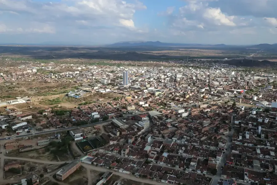
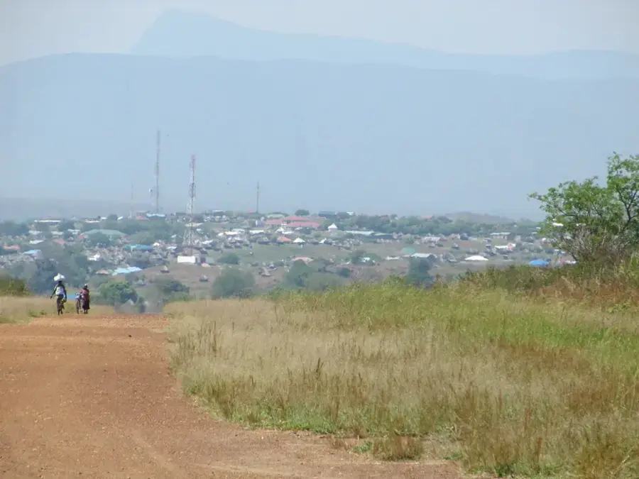
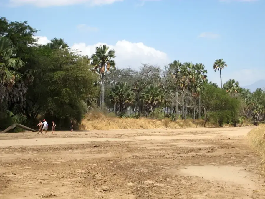
Torit, the capital of Eastern Equatoria State, is widely regarded as the birthplace of South Sudan’s struggle for independence. The historic 1955 Torit Mutiny, which marked the beginning of the First Sudanese Civil War, took place here, making the city a symbol of national pride and revolutionary heritage. Positioned at the foothills of the Imatong Mountains, the highest mountain range in South Sudan, Torit enjoys a cooler climate and a more varied topography than the northern plains. The Kinyeti River flows through the city, providing essential water for both domestic use and the surrounding agricultural lands. The indigenous Lotuko (Otuho) people are the primary ethnic group, and their animated cultural festivals and traditional governance systems remain influential today. Economically, Torit is a vital transit point for trade routes connecting Juba with the Kenyan and Ugandan borders, facilitating the flow of commercial goods and humanitarian aid. The city features a mix of historic colonial-era structures and modern government buildings reflecting its administrative importance. Torit is also an emerging center for education and healthcare in the Equatoria region. The proximity to the Imatong Forest Reserve has unique opportunities for biodiversity conservation and potential eco-tourism, with the area being home to rare bird species and lush montane vegetation. As the city continues to stabilize and grow, it remains a key strategic location for regional security and economic integration with the East African Community.
- Location: South Sudan
- Nearby: Magwi (39 km)
- Population: ~20.048 (2026)
Best time to visit & climate
The most pleasant time to visit is Jan, Nov, Dec.
| Jan | Feb | Mar | Apr | May | Jun | Jul | Aug | Sep | Oct | Nov | Dec | |
|---|---|---|---|---|---|---|---|---|---|---|---|---|
| Avg °C | 29 | 30 | 30 | 29 | 28 | 26 | 26 | 26 | 27 | 27 | 27 | 28 |
| Rain mm | 12 | 13 | 40 | 69 | 105 | 87 | 105 | 123 | 114 | 116 | 60 | 35 |
Geography
Facts
- Torit is the seat of the Eastern Equatoria State government.
- The city is located in the Kinyeti River valley, south of the Hiyala plains.
- It is historically significant as the site of the first shot fired in the 1955 mutiny.
- The Otuho people are renowned for their traditional rain-making ceremonies.
- Torit serves as a major market for livestock and agricultural products from Uganda.
- The Imatong Mountains nearby provide a stunning backdrop to the city's skyline.
- Torit is connected to Juba by a road that is part of the regional East African network.
- The city hosts various international NGOs focused on peace and development.
Explore nearby
Notable places around
Route planner — Car & Motorhome
Where do you start? We build the route here, with stops and country notes along the way.
© OpenStreetMap contributors · OpenRouteService
Frequently asked questions
What is the environment like?
Is Torit quiet?
How is the accessibility?
Are there good local markets?
What is the best way to travel?
Torit: where is it located?
Torit: when is the best time to visit?
Torit: why is it worth visiting?

Nearby cities
History & landmarks
Nature
More places