Plizio Visual Lab
Katire

Weather…
Water temperature…
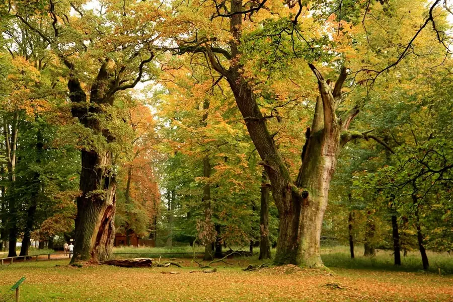
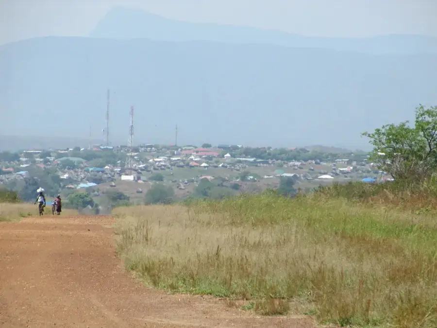
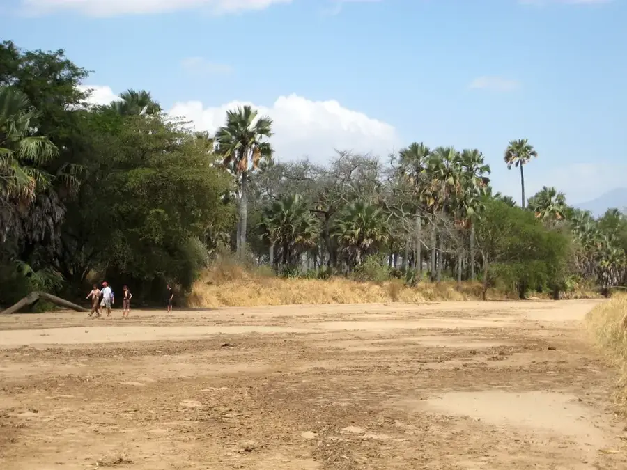
Katire is a historical forestry and logging station located in the foothills of the Imatong Mountains in Eastern Equatoria State, South Sudan. Established in the 1940s during the British colonial administration, it became a central hub for the extraction and processing of high-value hardwoods, such as teak and mahogany. The station's location features a unique montane microclimate, characterized by higher rainfall and cooler temperatures compared to the surrounding lowlands. Historically, it featured advanced sawmills and extensive reforestation nurseries designed to maintain timber stocks sustainably. Although much of its infrastructure was damaged during decades of civil conflict, Katire remains a symbol of South Sudan's industrial forestry potential. The surrounding Imatong forest is a biodiversity hotspot, housing rare flora and fauna, making Katire a strategic site for both ecological conservation and future sustainable economic development in the region.
- Location: South Sudan
- Nearby: Imatong Mountains (15 km)
Best time to visit & climate
The most pleasant time to visit is Jan, Nov, Dec.
| Jan | Feb | Mar | Apr | May | Jun | Jul | Aug | Sep | Oct | Nov | Dec | |
|---|---|---|---|---|---|---|---|---|---|---|---|---|
| Avg °C | 26 | 27 | 27 | 26 | 25 | 24 | 23 | 23 | 25 | 24 | 24 | 25 |
| Rain mm | 13 | 14 | 44 | 85 | 118 | 98 | 107 | 118 | 115 | 130 | 64 | 40 |
📋 Practical info
Geography
Facts
- Katire was established in the 1940s as a colonial forestry base.
- It is located in the Imatong Mountains, the wettest region in South Sudan.
- The station focused on the logging of teak and mahogany plantations.
- The local climate is notably cooler and wetter than the lowlands.
- Historical sawmills here were among the most important in the region.
- It is situated approximately 40 kilometers south of the town of Torit.
Explore nearby
Notable places around
Route planner — Car & Motorhome
Where do you start? We build the route here, with stops and country notes along the way.
© OpenStreetMap contributors · OpenRouteService
Sights nearby
Frequently asked questions
What was the purpose of the Katire station?
Is the place touristic today?
Can the station be visited?
Are there accommodations nearby?
What should one pay attention to?
Katire: where is it located?
Katire: when is the best time to visit?
Katire: why is it worth visiting?

Nearby cities
History & landmarks
Nature
More places