Plizio Visual Lab
Acholi Hills

Weather…
Water temperature…
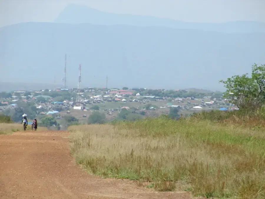
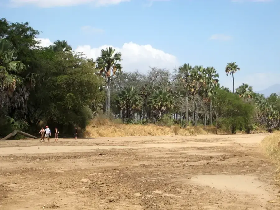
The Acholi Hills are a rolling upland region situated along the border of South Sudan and Uganda, primarily within Eastern Equatoria State. Named after the Acholi people who have farmed these fertile slopes for generations, the hills serve as a geographical transition between the northern savannas and the southern highlands. The region enjoys a moderate climate with reliable rainfall, making it one of the most productive agricultural belts in South Sudan. Key crops produced here include maize, sorghum, and sweet potatoes, supported by the nutrient-rich soils. Geologically, the hills are characterized by sedimentary formations and lateritic deposits that give the earth a striking reddish hue. Despite historical cross-border conflicts, the Acholi Hills have remained a cultural heartland and an economic mainstay for the local population. The landscape is a mosaic of small homesteads, expansive farmland, and scattered woodland, showcasing a long-standing balance between human activity and the natural environment.
- Location: South Sudan
- Nearby: Imatong Mountains (19 km)
Best time to visit & climate
The most pleasant time to visit is Jan, Nov, Dec.
| Jan | Feb | Mar | Apr | May | Jun | Jul | Aug | Sep | Oct | Nov | Dec | |
|---|---|---|---|---|---|---|---|---|---|---|---|---|
| Avg °C | 26 | 27 | 27 | 26 | 25 | 24 | 23 | 23 | 25 | 24 | 24 | 25 |
| Rain mm | 13 | 14 | 44 | 85 | 118 | 98 | 107 | 118 | 115 | 130 | 64 | 40 |
📋 Practical info
Geography
Facts
- The hills form a natural boundary between different linguistic groups.
- Soil fertility is maintained through traditional crop rotation methods.
- The region is known for its high-quality sunflower and sesame seeds.
- Average daytime temperatures range from 25°C to 30°C.
- The Acholi Hills have several historical sites related to tribal migrations.
- Road infrastructure in the hills is currently undergoing modernization.
Explore nearby
Notable places around
Route planner — Car & Motorhome
Where do you start? We build the route here, with stops and country notes along the way.
© OpenStreetMap contributors · OpenRouteService
Sights nearby
Frequently asked questions
What is characteristic of the Acholi Hills?
How is the contact with the local population?
Are there hiking routes there?
What is the best transport option?
Are there malaria-free zones there?
Acholi Hills: where is it located?
Acholi Hills: when is the best time to visit?
Acholi Hills: why is it worth visiting?

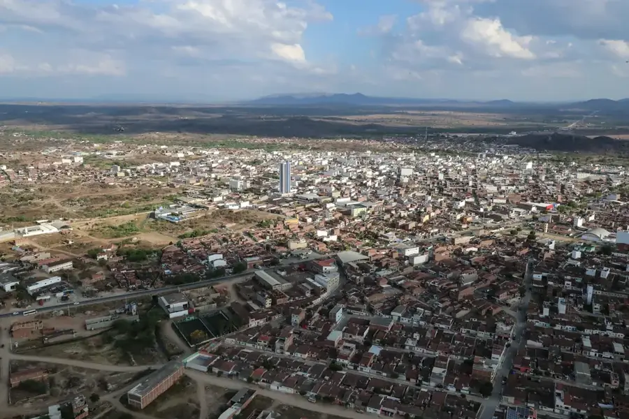
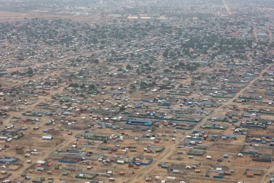
Nearby cities
History & landmarks
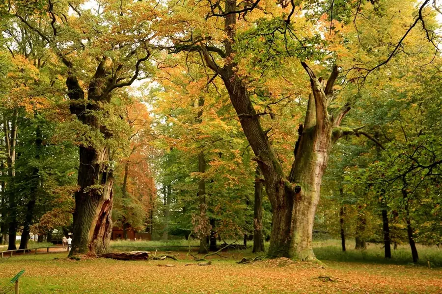
Nature
More places