Plizio Visual Lab
Gilo Forest
Weather…
Water temperature…
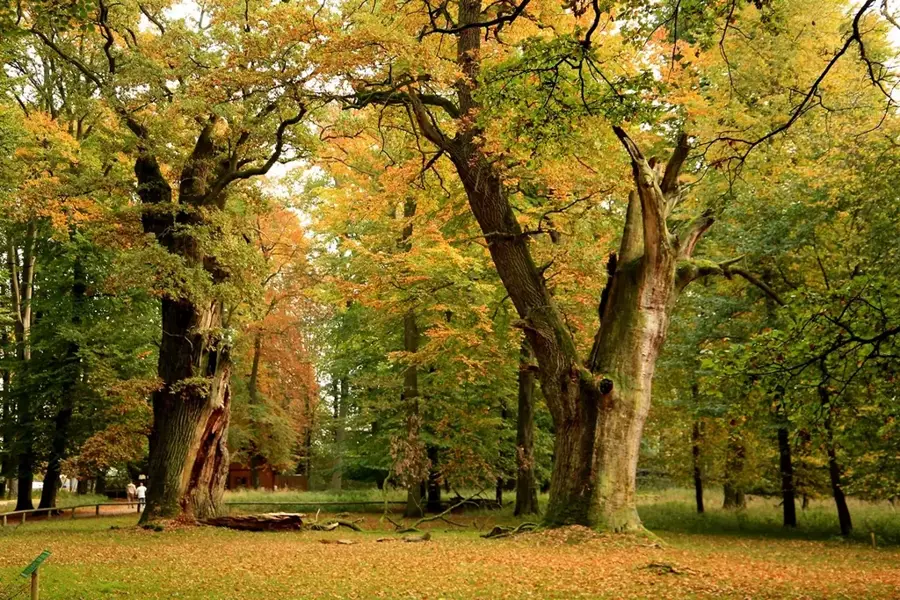
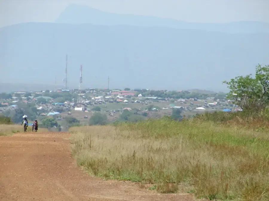
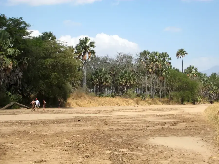
Gilo Forest is situated within the Imatong Mountains in southeastern South Sudan, at altitudes ranging from 1800 to 2400 meters above sea level. It is named after the village of Gilo, which was established during the colonial era as a cool-climate hill station and a center for forestry research. The high elevation provides a temperate environment quite distinct from the surrounding tropical plains, facilitating early experimental plantations of tea and coffee in the 1950s. The forest vegetation is a rich mosaic of montane rainforest, vast bamboo thickets, and alpine meadows. Ecologically, the area is of immense value, serving as a sanctuary for endemic species such as the Imatong mountain chameleon and various specialized mountain birds. The dense canopy plays a crucial role in water conservation, feeding numerous streams that eventually contribute to the White Nile system. Despite suffering damage during decades of civil conflict, Gilo Forest remains a vital symbol of South Sudan's mountain heritage and biodiversity.
- Location: South Sudan
- Nearby: Imatong Mountains (11 km)
Best time to visit & climate
The most pleasant time to visit is Jan, Nov, Dec.
| Jan | Feb | Mar | Apr | May | Jun | Jul | Aug | Sep | Oct | Nov | Dec | |
|---|---|---|---|---|---|---|---|---|---|---|---|---|
| Avg °C | 26 | 27 | 27 | 26 | 25 | 24 | 23 | 23 | 25 | 24 | 24 | 25 |
| Rain mm | 13 | 14 | 44 | 85 | 118 | 98 | 107 | 118 | 115 | 130 | 64 | 40 |
📋 Practical info
Geography
Facts
- The forest is located at elevations between 1800 and 2400 meters.
- The first experimental tea plantations in the region were started here in 1953.
- Annual rainfall in Gilo often exceeds 1500 millimeters, supporting cloud forests.
- It is home to the endemic Imatong mountain chameleon and rare sunbirds.
- The settlement of Gilo served as a colonial hill station during the mid-20th century.
- The forest consists of a mix of Podocarpus trees and alpine bamboo thickets.
Explore nearby
Notable places around
Route planner — Car & Motorhome
Where do you start? We build the route here, with stops and country notes along the way.
© OpenStreetMap contributors · OpenRouteService
Sights nearby
Frequently asked questions
Where is Gilo Forest located?
Is the forest usable for tourism?
What clothing should one wear?
Are there campsites there?
What is the biggest risk?
Gilo Forest: where is it located?
Gilo Forest: when is the best time to visit?
Gilo Forest: why is it worth visiting?

Nearby cities
History & landmarks
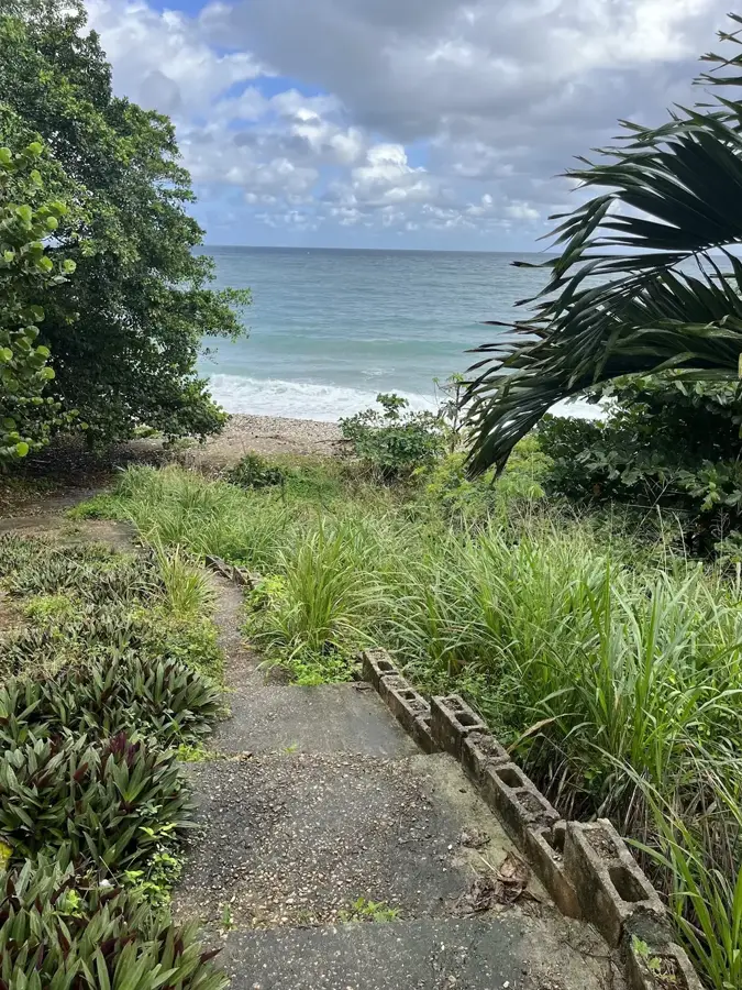
Nature
More places