Plizio Visual Lab
Sablale

ℹ️Practical info — Sablale
▾
🌤 Weather — 5 days
📍 Nearby
Sights nearby
💡 Tips
- Explore the irrigation canals that serve as the lifeblood of this agricultural settlement.
- Visit the town during the harvest season to see the local community working together.
- Ask locals about the town's history as a former resettlement camp for nomads.
- Dress conservatively and respect the rural traditions of the residents.
- Plan your arrival carefully, as road conditions can be challenging after rain.
🍽 Food
A staple food in this region, often served with fresh milk or meat sauce.
Try the mangoes or bananas grown in the irrigated gardens when in season.
Often the highlight of community meals, simply prepared and very flavorful.
🛍 Shopping · 🧘 Quiet spots
Observe the trade of sorghum and maize, the primary products of the local farms.
Simple but sturdy agricultural implements crafted by local blacksmiths.
Near the river, you can find shaded spots under large trees, good for resting.
A walk through the green plantations provides a pleasant coolness and tranquility.
Water temperature…
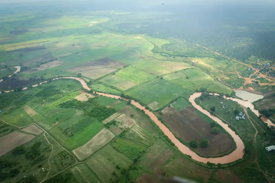
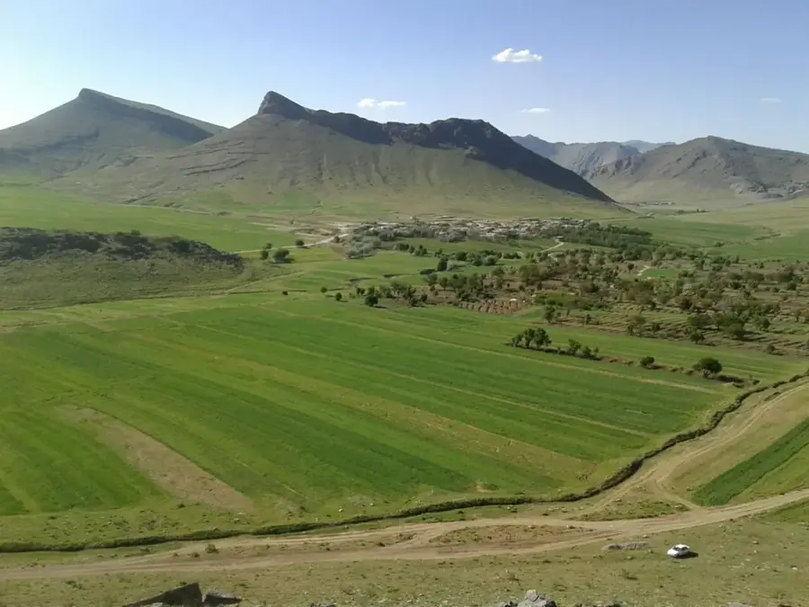
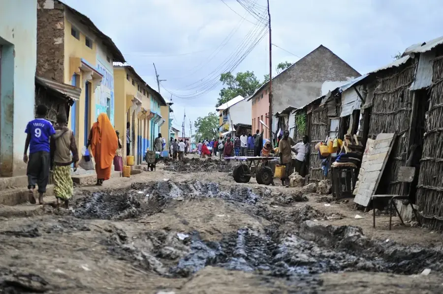
Sablale is a town in the Lower Shabelle region of southern Somalia, primarily recognized for its role in national resettlement programs during the 1970s. Following the severe drought of 1974, the Somali government relocated thousands of former nomads to Sablale to transition them into sedentary agriculture and bolster food production. The town is situated in an area irrigated by the Shabelle River, enabling the cultivation of staple crops such as maize, sorghum, and various vegetables. Geographically, the region consists of flat alluvial plains that become highly fertile during the rainy seasons. The town's layout still partially reflects the planned grid structures of the resettlement era. Today, Sablale serves as a local market hub for surrounding farming communities and remains an essential link in the food supply chain of southern Somalia. The community continues to focus on optimizing river water usage while mitigating the risks of soil salinization.
- Location: Somalia
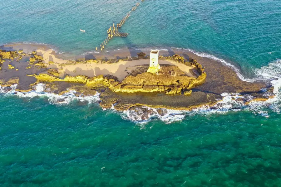
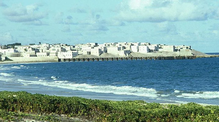
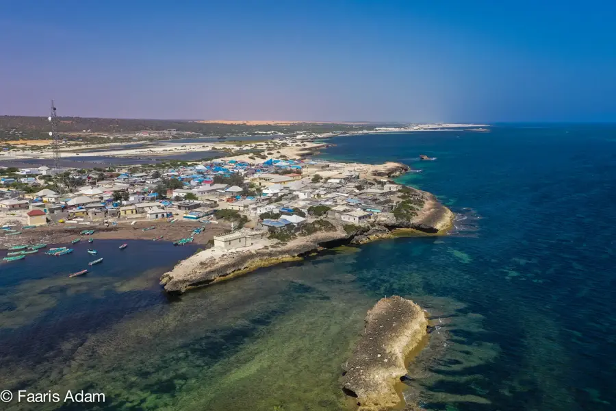
- Nearby: Barawe (8 km)
Best time to visit & climate
The most pleasant time to visit is Jul–Sep.
| Jan | Feb | Mar | Apr | May | Jun | Jul | Aug | Sep | Oct | Nov | Dec | |
|---|---|---|---|---|---|---|---|---|---|---|---|---|
| Avg °C | 28 | 28 | 29 | 29 | 28 | 27 | 26 | 26 | 27 | 27 | 28 | 28 |
| Rain mm | 6 | 2 | 19 | 142 | 82 | 34 | 15 | 21 | 17 | 89 | 96 | 31 |
Geography
Facts
- Significantly expanded as an agricultural settlement in 1975.
- Destination for nomads following the 1974 Daba-Gheer drought.
- Located within the Sablale District of the Lower Shabelle region.
- Utilizes water from the Shabelle River for irrigation projects.
- Major producer of maize and oilseeds for the local market.
- The urban layout was designed according to modern planning guidelines.
Explore nearby
Notable places around
Route planner — Car & Motorhome
Where do you start? We build the route here, with stops and country notes along the way.
© OpenStreetMap contributors · OpenRouteService
Frequently asked questions
What characterizes Sablaale?
What is daily life like?
Are there tourists?
What is the best way to travel?
What to watch out for?
Sablale: where is it located?
Sablale: when is the best time to visit?
Sablale: why is it worth visiting?

Nearby cities
History & landmarks

More places