Plizio Visual Lab
Burao Valley
Weather…
Water temperature…
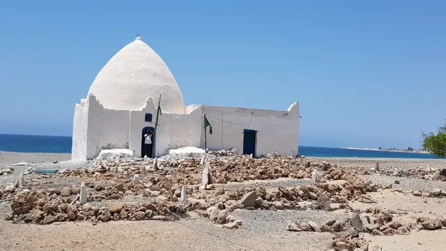
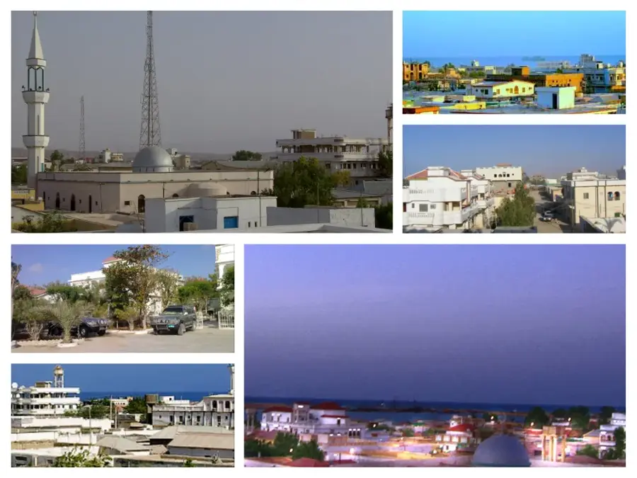
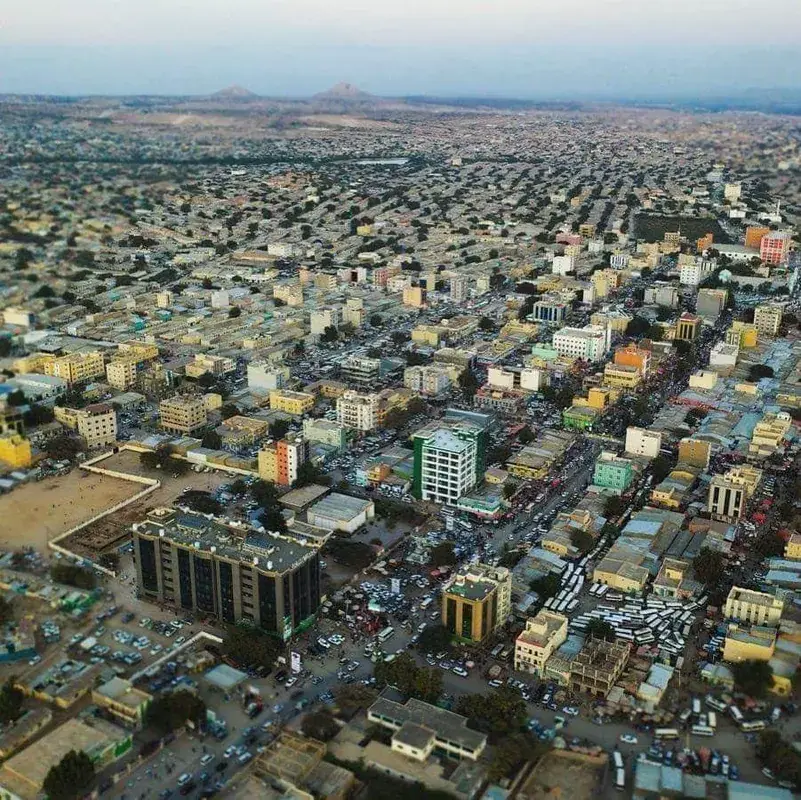
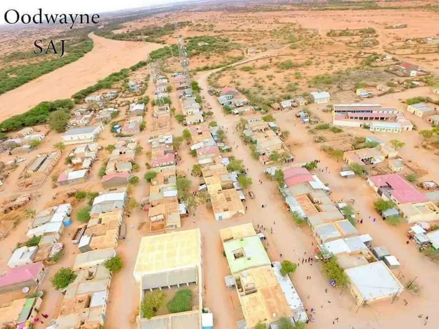
The Burao Valley, located in the Togdheer region of northern Somalia, is a central geographic and economic hub of the Somali highlands. The valley is shaped by the ephemeral Togdheer River, which serves as a vast drainage basin for the surrounding plateaus. While the river remains dry for much of the year, its periodic floods deposit fertile silt and recharge underground aquifers, providing critical resources for both agriculture and livestock. The city of Burao, situated in the heart of the valley, is home to one of the largest livestock markets in East Africa, facilitating the trade of millions of camels and sheep annually. The landscape is characterized by wide semi-desert plains, thorny acacia woodlands, and greener corridors along the seasonal watercourse. Geologically, the valley floor is composed of sandstone and alluvial deposits, which support the construction of numerous traditional wells. Historically, the Burao Valley was a pivotal intersection for caravan routes connecting the African interior with the Gulf of Aden ports. Wildlife in the region primarily consists of domesticated herds, along with desert-adapted species like the golden jackal and various raptors.
- Location: Somalia
- Nearby: Burao (8 km)
Best time to visit & climate
The most pleasant time to visit is Jan, Feb, Dec.
| Jan | Feb | Mar | Apr | May | Jun | Jul | Aug | Sep | Oct | Nov | Dec | |
|---|---|---|---|---|---|---|---|---|---|---|---|---|
| Avg °C | 21 | 22 | 25 | 26 | 27 | 26 | 26 | 26 | 27 | 25 | 22 | 21 |
| Rain mm | 5 | 4 | 12 | 68 | 36 | 17 | 8 | 17 | 24 | 32 | 24 | 11 |
📋 Practical info
Geography
Facts
- Burao is the second-largest city in Somaliland.
- The Togdheer River flows only during periods of heavy seasonal rain.
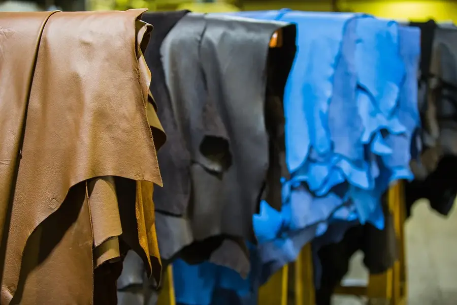
- The region is world-renowned for its 'Berbera Blackhead' sheep.
- The valley sits at an average elevation of 1,000 meters (3,280 ft).
- Somaliland's declaration of independence was made in Burao in 1991.
- Groundwater in the valley is reached through deep, hand-dug wells.
Explore nearby
Notable places around
Route planner — Car & Motorhome
Where do you start? We build the route here, with stops and country notes along the way.
© OpenStreetMap contributors · OpenRouteService
Sights nearby
Frequently asked questions
Is the Burao valley suitable for tourists?
Is there flowing water there?
Which animals live in the valley?
Is the area scenic?
Must one obtain a permit?
Burao Valley: where is it located?
Burao Valley: when is the best time to visit?
Burao Valley: why is it worth visiting?

Nearby cities


Nature
More places