Plizio Visual Lab
Golis Massif
Weather…
Water temperature…
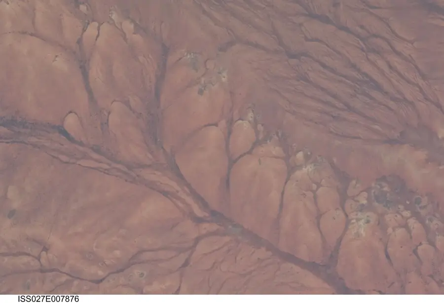
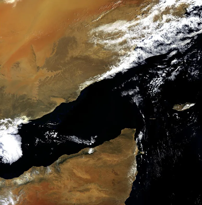
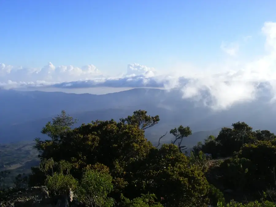
The Golis Massif, also known as the Golis Mountains, forms a spectacular mountain range in northern Somalia, running parallel to the Gulf of Aden coast. As part of the larger Ogo Mountains system, it represents a sharp topographical barrier separating the scorching coastal lowlands from the cooler interior plateaus. Elevations reach over 2000 meters, enabling the existence of unique mountain mist forests that are rare in this otherwise arid region. These forests are home to valuable tree species such as juniper and frankincense trees, the latter harvested since antiquity for global trade. The geology of the Golis Range consists primarily of limestone and sedimentary rocks, carved by erosion into jagged cliffs and deep gorges. Due to the higher rainfall rates compared to the plains, the massif serves as a crucial watershed feeding numerous streams. Historically, the mountains have served as a refuge and a strategic defensive point during various conflicts across the Horn of Africa.
- Location: Somalia
- Top sights: Daboeh · Cusbaale · Aroweina
- Nearby: Berbera (44 km)
Best time to visit & climate
The most pleasant time to visit is Jan, Feb, Dec.
| Jan | Feb | Mar | Apr | May | Jun | Jul | Aug | Sep | Oct | Nov | Dec | |
|---|---|---|---|---|---|---|---|---|---|---|---|---|
| Avg °C | 21 | 23 | 25 | 27 | 29 | 31 | 31 | 30 | 30 | 26 | 23 | 22 |
| Rain mm | 6 | 7 | 21 | 71 | 25 | 14 | 22 | 38 | 29 | 31 | 17 | 21 |
📋 Practical info
Geography
Facts
- The highest elevation in the Golis Massif reaches approximately 2416 meters.
- The region is one of the world's most significant areas for wild frankincense harvesting.
- The mountain range extends for a total length of about 240 kilometers.
- Much of the massif consists of limestone formations dating back to the Eocene epoch.
- The Gacan Libaah summit is one of the most well-known features of the range.
- Annual rainfall in the higher elevations can reach up to 700 mm.
Explore nearby
Notable places around
Route planner — Car & Motorhome
Where do you start? We build the route here, with stops and country notes along the way.
© OpenStreetMap contributors · OpenRouteService
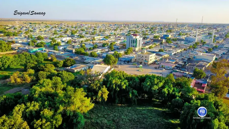
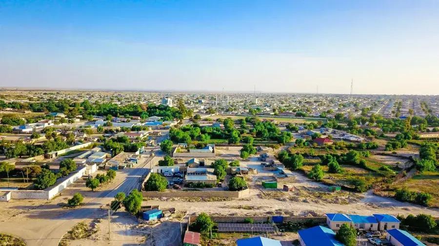
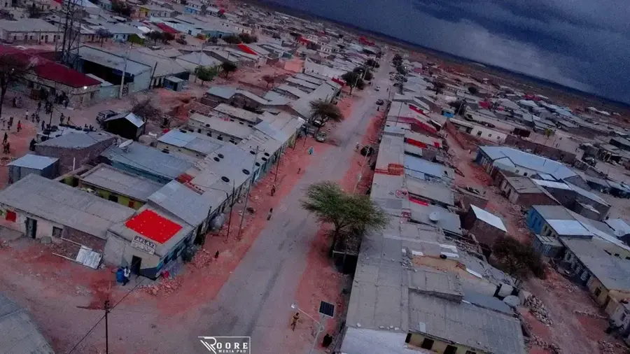
Sights in the town Golis Massif (3)
Sights nearby
Frequently asked questions
What is the Golis massif?
Are there official mountain trails there?
Is the area popular with hikers?
When are the temperatures bearable?
Is camera equipment useful?
Golis Massif: where is it located?
Golis Massif: what is there to see?
Golis Massif: when is the best time to visit?
Golis Massif: why is it worth visiting?

Nearby cities
More places