Plizio Visual Lab
Gacan Libaah Summit
Weather…
Water temperature…
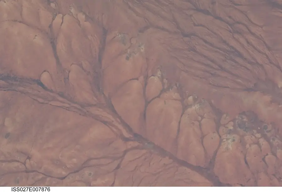
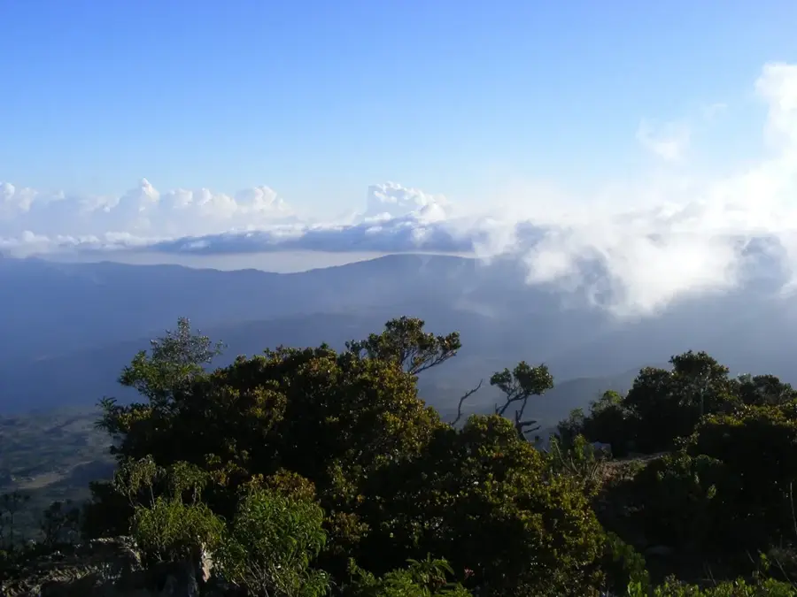
The Gacan Libaah Summit, whose name translates to 'Hand of the Lion' in Somali, is a prominent mountain within the Golis range in Somaliland. Rising to an elevation of approximately 1900 to 2000 meters, the summit has spectacular panoramic views over the Berbera coastal plains and the Gulf of Aden. The region is renowned for its unique microclimate, which supports dense juniper forests and lush vegetation that thrives on the rising coastal mists. Gacan Libaah serves as a critical wildlife sanctuary, hosting a variety of fauna including kudus, baboons, and a rich array of bird species. Its geology is defined by steep limestone cliffs and erosion terraces, giving the mountain its distinctive rugged appearance. Historically, the summit was a significant site for local clan assemblies and traditional spiritual practices. In recent years, it has become a destination for eco-tourism and hiking, with ongoing efforts to protect its fragile highland forests from deforestation. The climb to the summit is widely regarded as one of the most scenic trekking routes in the Horn of Africa.
- Location: Somalia
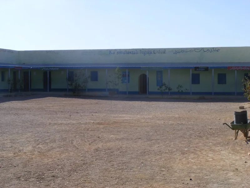
- Nearby: Sheikh (44 km)
Best time to visit & climate
The most pleasant time to visit is Jan, Feb, Dec.
| Jan | Feb | Mar | Apr | May | Jun | Jul | Aug | Sep | Oct | Nov | Dec | |
|---|---|---|---|---|---|---|---|---|---|---|---|---|
| Avg °C | 20 | 22 | 25 | 27 | 28 | 29 | 29 | 29 | 29 | 25 | 22 | 20 |
| Rain mm | 8 | 6 | 17 | 66 | 25 | 14 | 14 | 25 | 23 | 32 | 20 | 18 |
📋 Practical info
Geography
Facts
- The highest elevation of Gacan Libaah stands at 1,950 meters.
- The mountain is located roughly 60 kilometers east of the city of Hargeisa.
- Juniperus procera is the dominant tree species in the summit's high forests.
- Nighttime temperatures can drop below 5 degrees Celsius during winter months.
- The area was first recommended for formal protection as early as the 1950s.
- The limestone formations of the summit date back to the Cretaceous period.
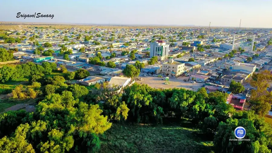
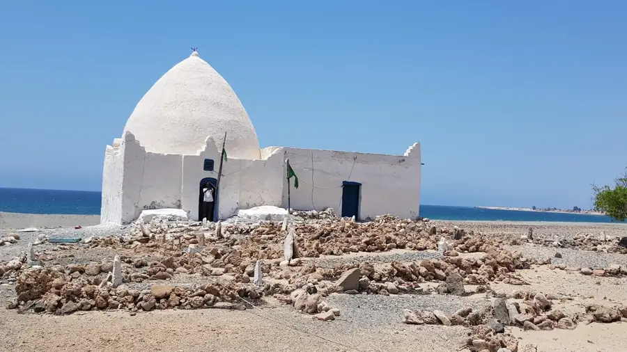
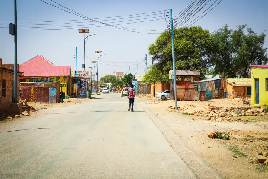
Explore nearby
Notable places around
Route planner — Car & Motorhome
Where do you start? We build the route here, with stops and country notes along the way.
© OpenStreetMap contributors · OpenRouteService
Sights nearby
Frequently asked questions
How difficult is the hike to Gacan-Libaah summit?
Is there an observation deck at the top?
What is the best time of day for the ascent?
Is the summit suitable for children?
Do I need a permit for the summit?
Gacan Libaah Summit: where is it located?
Gacan Libaah Summit: when is the best time to visit?
Gacan Libaah Summit: why is it worth visiting?

Nearby cities
More places