Plizio Visual Lab
Gardafui Coastal Cliffs
Weather…
Water temperature…
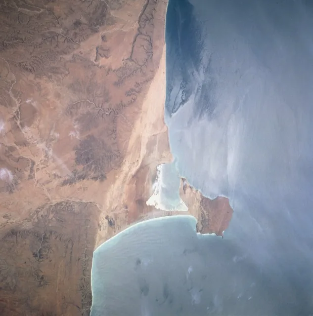
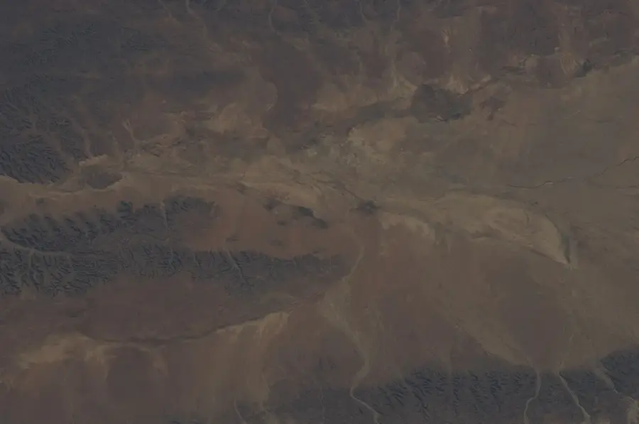
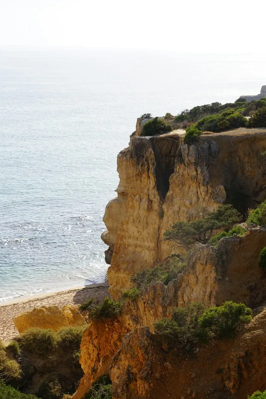
The Gardafui coastal cliffs mark the extreme northeastern point of the African continent at Cape Guardafui. These monumental limestone formations rise up to 240 meters vertically from the sea and form the interface between the Gulf of Aden and the Indian Ocean. Geologically, the cliffs are part of the Horn of Africa, which was shaped by the separation of the African and Arabian tectonic plates. The region is known for its extreme weather conditions and strong sea currents, which historically made it one of the most dangerous passages for seafaring. On top of the cliffs stands the Francesco Crispi lighthouse, built by Italy in 1924, representing one of the most distinctive landmarks of the region. The flora in this exposed area is sparse and consists mainly of drought-resistant succulents. Due to the remote location and difficult topography, human settlement is limited to small fishing villages in the surrounding bays.
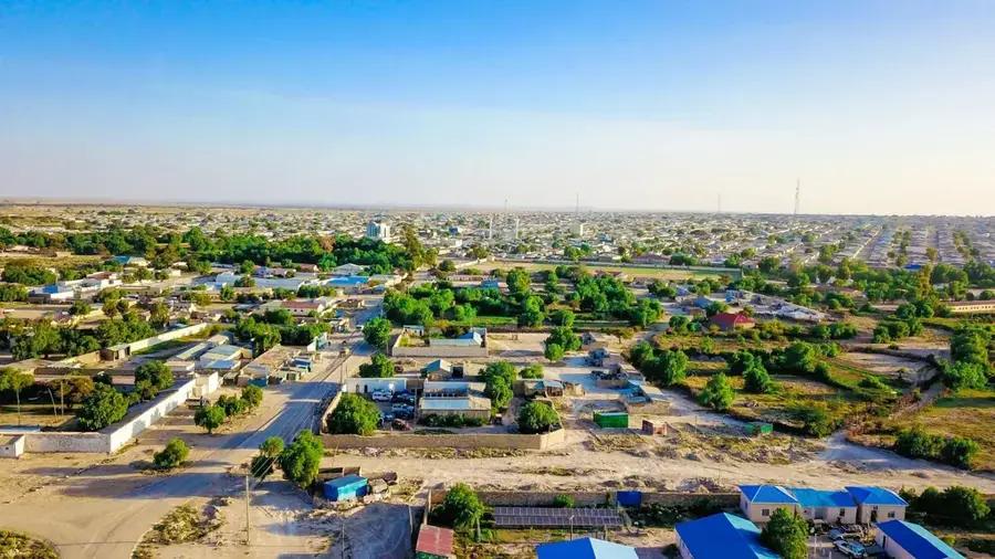
- Location: Somalia
- Top sights: Taayis · Seen Weyn · Seen Yar
- Nearby: Alula (50 km)
Best time to visit & climate
The most pleasant time to visit is Jan, Feb, Dec.
| Jan | Feb | Mar | Apr | May | Jun | Jul | Aug | Sep | Oct | Nov | Dec | |
|---|---|---|---|---|---|---|---|---|---|---|---|---|
| Avg °C | 24 | 24 | 26 | 28 | 30 | 31 | 31 | 30 | 29 | 27 | 26 | 25 |
| Rain mm | 4 | 1 | 3 | 5 | 6 | 2 | 7 | 5 | 7 | 6 | 21 | 6 |
📋 Practical info
Geography
Facts
- The cliffs reach a maximum height of approximately 244 meters.
- The Francesco Crispi lighthouse has a height of 60 meters.
- The area is located at coordinates 11° 50' North and 51° 16' East.
- Guardafui is the second most easterly point of the African mainland.
- Strong seasonal winds reach speeds of over 100 km/h here.
- In antiquity, the cape was known as 'Aromata Promontorium'.
Explore nearby
Notable places around
Route planner — Car & Motorhome
Where do you start? We build the route here, with stops and country notes along the way.
© OpenStreetMap contributors · OpenRouteService
Sights in the town Gardafui Coastal Cliffs (5)
Sights nearby
Frequently asked questions
Are the Gardafui cliffs suitable for photography?
How do you reach the cliffs?
Is there any tourist infrastructure there?
What is the wind like on the coast?
Can you swim there?
Gardafui Coastal Cliffs: where is it located?
Gardafui Coastal Cliffs: what is there to see?
Gardafui Coastal Cliffs: when is the best time to visit?
Gardafui Coastal Cliffs: why is it worth visiting?

Nearby cities

More places