Plizio Visual Lab
Darin Valley

Weather…
Water temperature…
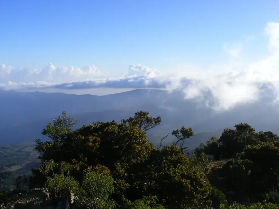
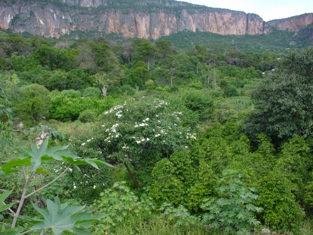
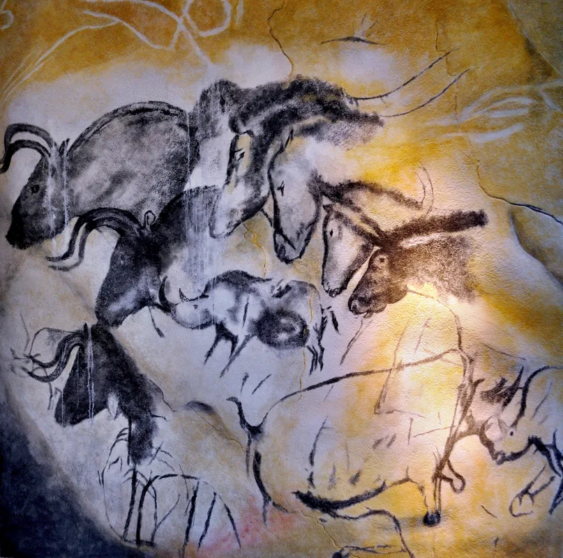
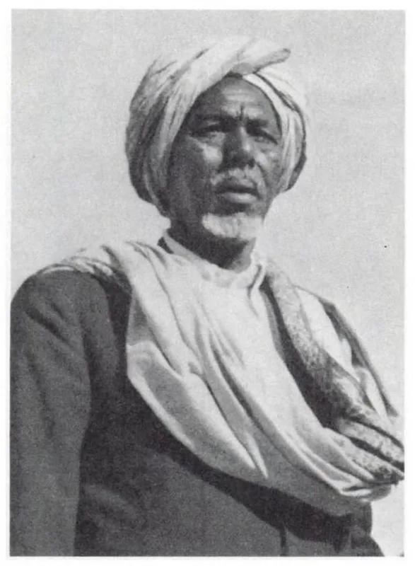
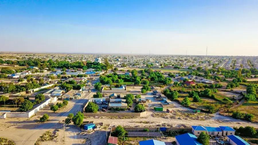
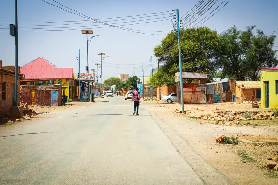
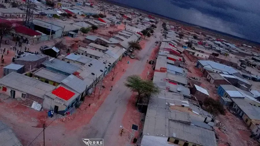
The Darin Valley in northern Somalia is a geographically distinct dry valley that cuts through the arid highland regions of Bari and Sanaag. It is characterized by deep wadis that can carry flash floods after rare rainfall events but remain completely bone-dry for most of the year. The geology of the valley is defined by imposing limestone formations and brilliant white gypsum cliffs, creating an almost surreal landscape. In the lower reaches of the valley, scattered oases with palm trees and wells exist, providing a lifeline for nomadic communities and their livestock. Historically, the Darin Valley was part of the ancient frankincense routes used to transport precious resins from the mountains to the coastal ports. The region is also noted for its archaeological significance, featuring ancient burial mounds and rock art that point to a long history of human habitation. Despite its extreme aridity, the valley hosts specialized flora capable of harvesting moisture from morning mists. The valley's remoteness has helped preserve traditional clan structures and local customs to this day.
- Location: Somalia
- Top sights: Dawaad · Laac Wanaagsan · Kitibo
- Nearby: Boosaaso (29 km)
Best time to visit & climate
The most pleasant time to visit is Jan, Feb, Dec.
| Jan | Feb | Mar | Apr | May | Jun | Jul | Aug | Sep | Oct | Nov | Dec | |
|---|---|---|---|---|---|---|---|---|---|---|---|---|
| Avg °C | 21 | 22 | 25 | 28 | 30 | 32 | 31 | 31 | 30 | 26 | 23 | 21 |
| Rain mm | 2 | 2 | 4 | 11 | 9 | 4 | 1 | 8 | 6 | 4 | 8 | 5 |
📋 Practical info
Geography
Facts
- The Darin Valley extends for a total length of more than 100 kilometers.
- Gypsum deposits within the valley sometimes exceed 90% purity.
- Summer temperatures in the valley can frequently peak above 45 degrees Celsius.
- Ancient stone monuments in the area are locally known as 'Galla mounds'.
- The region is a critical habitat for the rare Speke's gazelle.
- Traditional wells in the valley are often dug to depths of up to 20 meters.
Explore nearby
Notable places around
Route planner — Car & Motorhome
Where do you start? We build the route here, with stops and country notes along the way.
© OpenStreetMap contributors · OpenRouteService
Sights in the town Darin Valley (3)
Sights nearby
Frequently asked questions
Is the Darin Valley safe for families?
Are there water sources in the valley?
What is the weather like in Darin Valley?
What gear is needed for the valley?
Are there parking spots?
Darin Valley: where is it located?
Darin Valley: what is there to see?
Darin Valley: when is the best time to visit?
Darin Valley: why is it worth visiting?

Nearby cities

More places