Plizio Visual Lab
Cal Madow forest
Weather…
Water temperature…
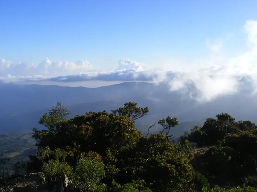
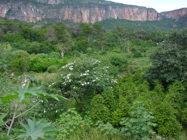
The Cal Madow forest covers the mountain range of the same name in northern Somalia, representing one of the most critical ecological sanctuaries in the Horn of Africa. Stretching across the Sanaag and Bari regions, this mountain chain includes Mount Shimbiris, Somalia's highest point at 2,450 meters. Driven by moist air from the Gulf of Aden, Cal Madow features dense juniper forests and mist-shrouded woodlands that stand in stark contrast to the nearby desert. The biodiversity of the area is exceptional, harboring numerous endemic plant and animal species, including the prized frankincense tree (Boswellia sacra). Frankincense harvesting has been the primary economic activity for local tribes for millennia, linking the region to ancient global trade networks. The rugged cliffs and deep gorges provide a safe haven for rare mammals like the Beira antelope and various mountain-dwelling birds. Cal Madow also functions as a vital watershed, where seasonal mists and rains replenish groundwater for the surrounding valleys. Its unique environmental conditions make it a prime candidate for international conservation status.
- Location: Somalia
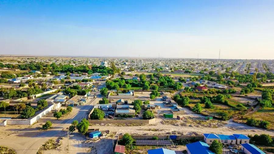
- Nearby: Badhan (49 km)
Best time to visit & climate
The most pleasant time to visit is Jan, Feb, Dec.
| Jan | Feb | Mar | Apr | May | Jun | Jul | Aug | Sep | Oct | Nov | Dec | |
|---|---|---|---|---|---|---|---|---|---|---|---|---|
| Avg °C | 21 | 22 | 25 | 28 | 30 | 32 | 31 | 31 | 30 | 26 | 23 | 21 |
| Rain mm | 2 | 2 | 4 | 11 | 9 | 4 | 1 | 8 | 6 | 4 | 8 | 5 |
📋 Practical info
Geography
Facts
- Mount Shimbiris is the highest point at 2,450 meters (8,038 ft).
- The region is home to over 200 endemic plant species.
- Some juniper trees in the forest are estimated to be centuries old.
- Cal Madow is the source of the world's finest 'Maydi' frankincense.
- Seasonal waterfalls can be seen in the gorges after heavy rains.
- The rare Beira antelope is uniquely adapted to this rugged terrain.
Explore nearby
Notable places around
Route planner — Car & Motorhome
Where do you start? We build the route here, with stops and country notes along the way.
© OpenStreetMap contributors · OpenRouteService
Sights in the town Cal Madow forest (1)
Sights nearby
Frequently asked questions
Is the Cal Madow forest easy to hike?
What is special about the flora?
Are there marked paths there?
Is the area suitable for camping?
When should one visit Cal Madow?
Cal Madow forest: where is it located?
Cal Madow forest: when is the best time to visit?
Cal Madow forest: why is it worth visiting?

Nearby cities

More places