Plizio Visual Lab
Nugaal Valley
Weather…
Water temperature…
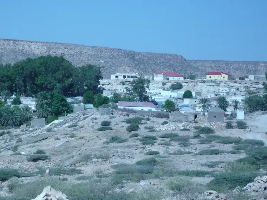
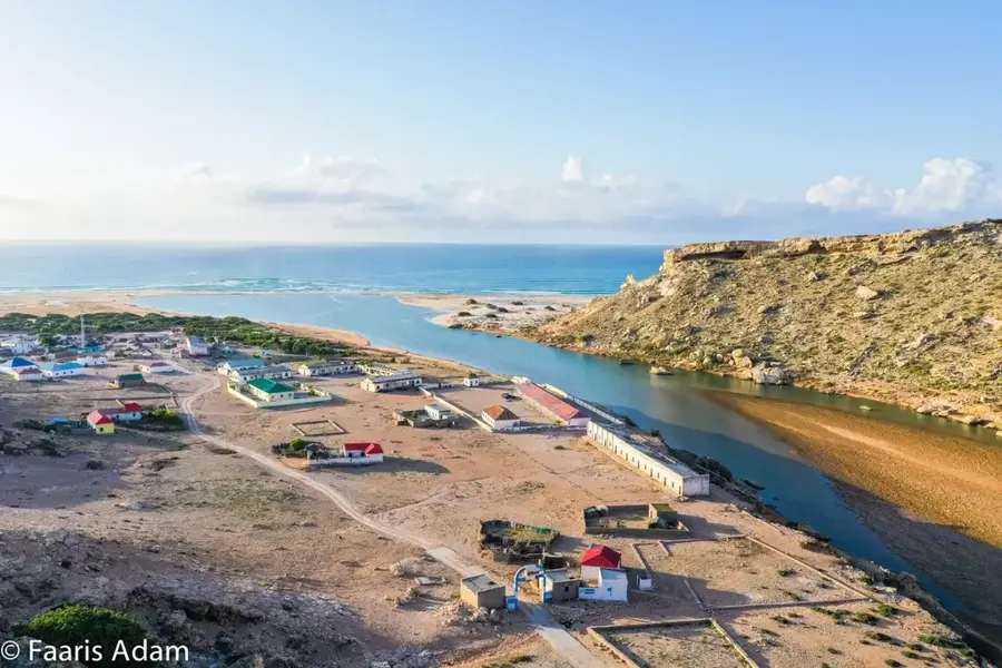
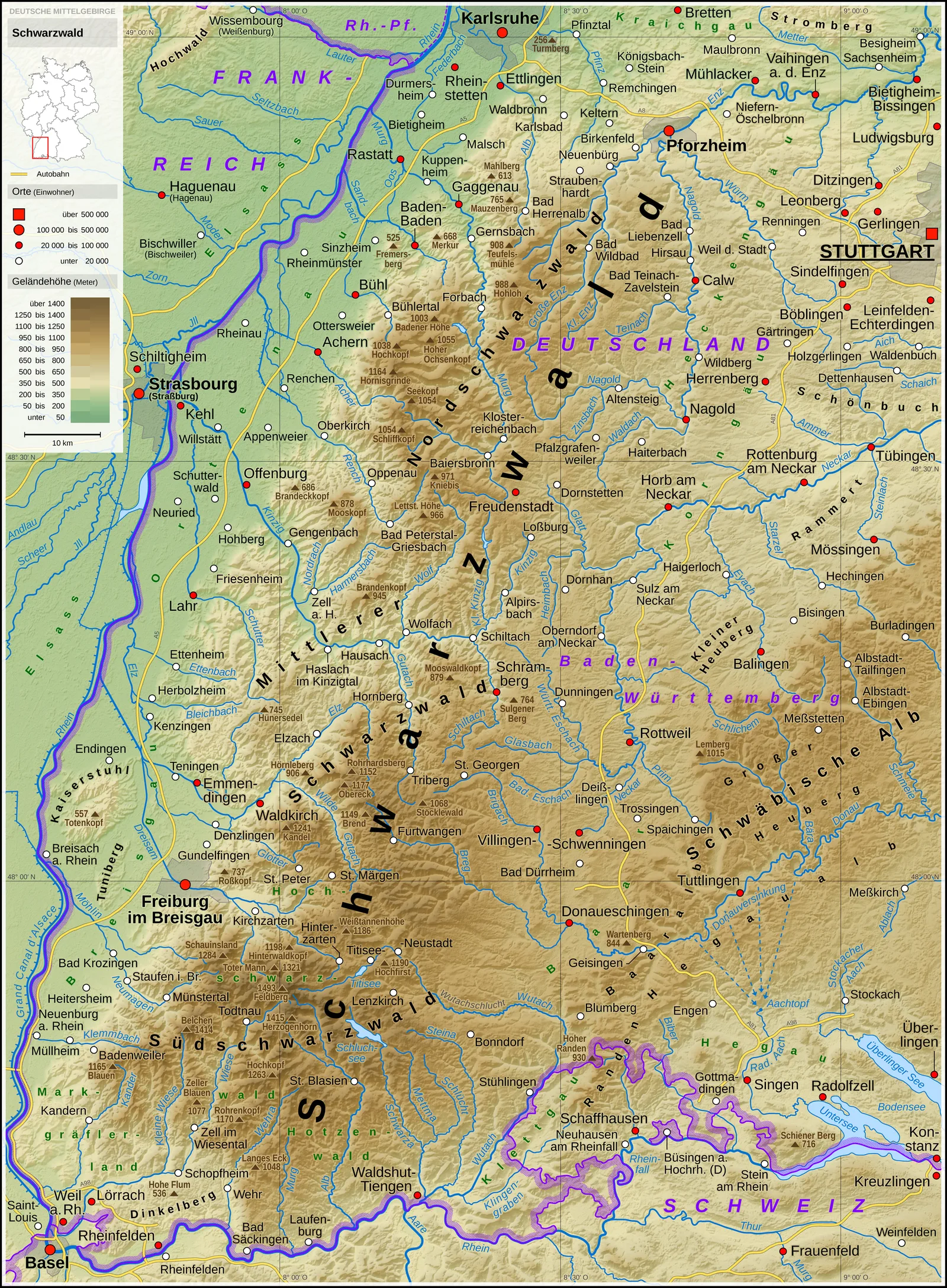
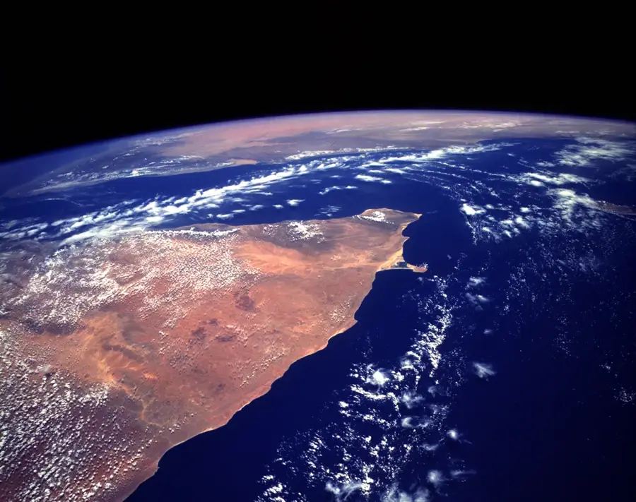
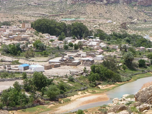
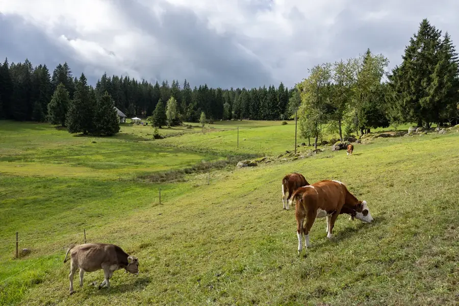
The Nugaal Valley is an extensive geographical depression in northern Somalia, situated between the Sool Plateau to the north and the Nugaal Plateau to the south. This region is traversed by the seasonal Nugaal River, which carries water during the rainy season and enlivens the otherwise dry landscape. Geologically, the valley is characterized by gypsum deposits and limestone formations, leading to a specialized flora rich in aromatic resins such as frankincense and myrrh. The Nugaal Valley has enormous historical significance as the heartland of the Dervish movement under Sayyid Mohammed Abdullah Hassan at the beginning of the 20th century, with the city of Taleh serving as a strategic center. The topography of the valley is flat to gently undulating, making it a preferred grazing area for camels. Due to the bimodal rainfall pattern, the valley is an important transit space for nomadic groups in search of water and fodder. Today, the Nugaal Valley is an administrative and economic backbone of the state of Puntland.
- Location: Somalia
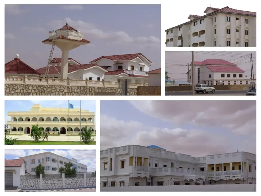
- Nearby: Garowe (62 km)
Best time to visit & climate
The most pleasant time to visit is Jan, Feb, Dec.
| Jan | Feb | Mar | Apr | May | Jun | Jul | Aug | Sep | Oct | Nov | Dec | |
|---|---|---|---|---|---|---|---|---|---|---|---|---|
| Avg °C | 23 | 24 | 26 | 27 | 28 | 27 | 26 | 27 | 27 | 27 | 25 | 24 |
| Rain mm | 1 | 1 | 3 | 33 | 28 | 22 | 2 | 7 | 13 | 31 | 17 | 3 |
📋 Practical info
Geography
Facts
- The length of the Nugaal riverbed is approximately 250 kilometers.
- Taleh hosts historical fortifications dating back to 1913.
- The soil in the valley has an exceptionally high gypsum content.
- The region is known for the production of high-quality myrrh.
- The valley lies at an average of 500 to 700 meters above sea level.
- Rainfall falls mainly during the months of April to June (Gu).
Explore nearby
Notable places around
Route planner — Car & Motorhome
Where do you start? We build the route here, with stops and country notes along the way.
© OpenStreetMap contributors · OpenRouteService
Sights nearby
Frequently asked questions
Is Nugaal Valley interesting for hikers?
Is there water there?
Are there dangerous animals?
Is a guide necessary?
What is the temperature in summer?
Nugaal Valley: where is it located?
Nugaal Valley: when is the best time to visit?
Nugaal Valley: why is it worth visiting?

Nearby cities
History & landmarks
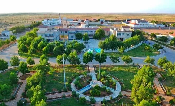
Nature
More places