Plizio Visual Lab
Jariban

ℹ️Practical info — Jariban
▾
🌤 Weather — 5 days
📍 Nearby
Sights nearby
💡 Tips
- Travel to this remote area requires careful security arrangements and coordination with Puntland authorities.
- Accept features of tea or camel milk gracefully, as hospitality is a cornerstone of the pastoral culture.
- Always ask for explicit permission before photographing people or local infrastructure.
- The climate is incredibly arid; carrying abundant water and sun protection is strictly mandatory.
🍽 Food
Fresh and highly nutritious, deeply ingrained in the local pastoral lifestyle.
Roasted or boiled, this is the staple protein found in small local eateries.
Brewed with cardamom and ginger, available at modest tea stalls in town.
🛍 Shopping · 🧘 Quiet spots
The economic heart of Jariban, offering a fascinating look at the camel and goat trade.
Aromatic resins occasionally traded in the local market stalls.
Walk towards the scrublands to observe the quiet grazing of nomadic herds.
The lack of light pollution makes the area exceptionally beautiful for stargazing.
Water temperature…
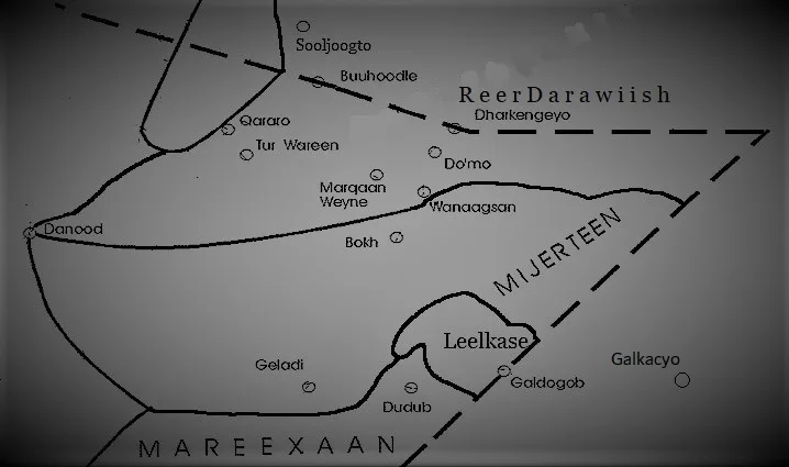
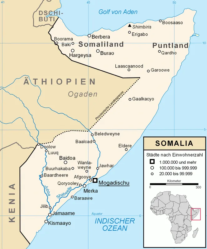
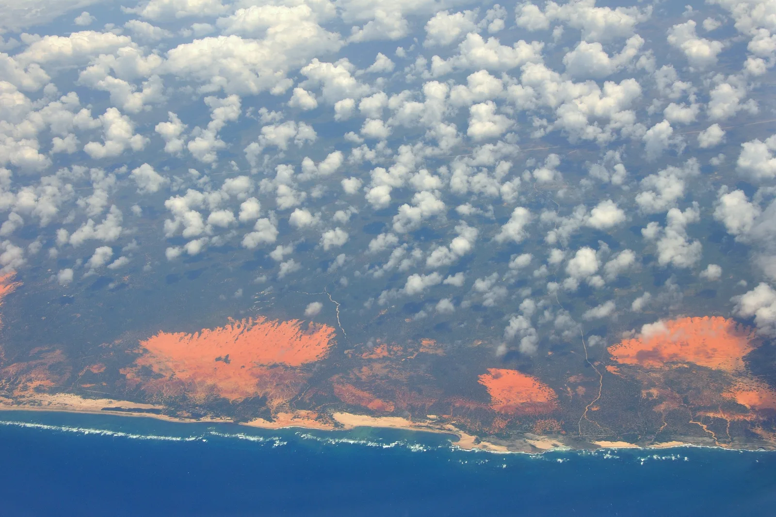
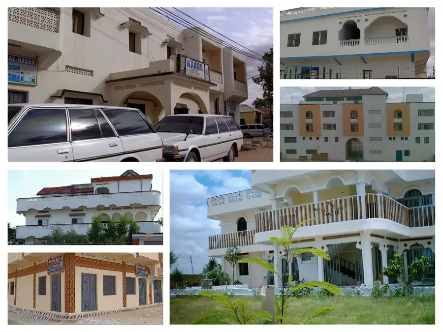
Jariban is a district capital located in the Mudug region of the Puntland State in Somalia. The town is situated inland on a semi-arid plateau and serves as a vital commercial and supply hub for the surrounding nomadic communities. Historically, Jariban has been closely tied to livestock rearing, which forms the backbone of the local economy; camels, goats, and sheep are traded here in significant numbers. The town has experienced steady growth in recent years, bolstered by investments from the Somali diaspora in education and healthcare facilities. Geographically, Jariban marks a transition point between the coastal areas of the Indian Ocean and the vast central plains of Somalia. Despite the harsh climatic conditions with limited rainfall, the town plays a crucial role in the regional administration and security of Mudug. Local markets in Jariban are well-known for the exchange of basic foodstuffs and artisanal regional products.
- Location: Somalia
- Nearby: Garowe (89 km)
Best time to visit & climate
The most pleasant time to visit is Jan, Feb, Dec.
| Jan | Feb | Mar | Apr | May | Jun | Jul | Aug | Sep | Oct | Nov | Dec | |
|---|---|---|---|---|---|---|---|---|---|---|---|---|
| Avg °C | 25 | 26 | 28 | 29 | 30 | 29 | 28 | 29 | 29 | 28 | 27 | 26 |
| Rain mm | 1 | 2 | 4 | 51 | 29 | 17 | 4 | 7 | 22 | 60 | 37 | 6 |
Geography
Facts
- Geographic coordinates: 7°13' North and 48°51' East.
- The administrative center of the Jariban District in the Mudug region.
- Situated at an average elevation of approximately 190 meters above sea level.
- A major livestock trading hub in central Somalia.
- Serves as a connection point between Galkayo and the coast at Garacad.
- Water supply is primarily sourced from deep boreholes.
Explore nearby
Notable places around
Route planner — Car & Motorhome
Where do you start? We build the route here, with stops and country notes along the way.
© OpenStreetMap contributors · OpenRouteService
Frequently asked questions
Where is Jariiban located?
What is the environment like?
Is Jariiban well-known for tourism?
What should one keep in mind?
When is a visit worthwhile?
Jariban: where is it located?
Jariban: when is the best time to visit?
Jariban: why is it worth visiting?

Nearby cities
History & landmarks
More places