Plizio Visual Lab
Harardhere

ℹ️Practical info — Harardhere
▾
🌤 Weather — 5 days
📍 Nearby
Sights nearby
💡 Tips
- Travel to this region is highly restricted and requires extensive security arrangements.
- Consult your government's travel advisories and coordinate with local authorities before planning any visit.
- As a traditional coastal village, dress very modestly and respect local Islamic customs.
- Infrastructure is minimal; travelers must be entirely self-sufficient.
🍽 Food
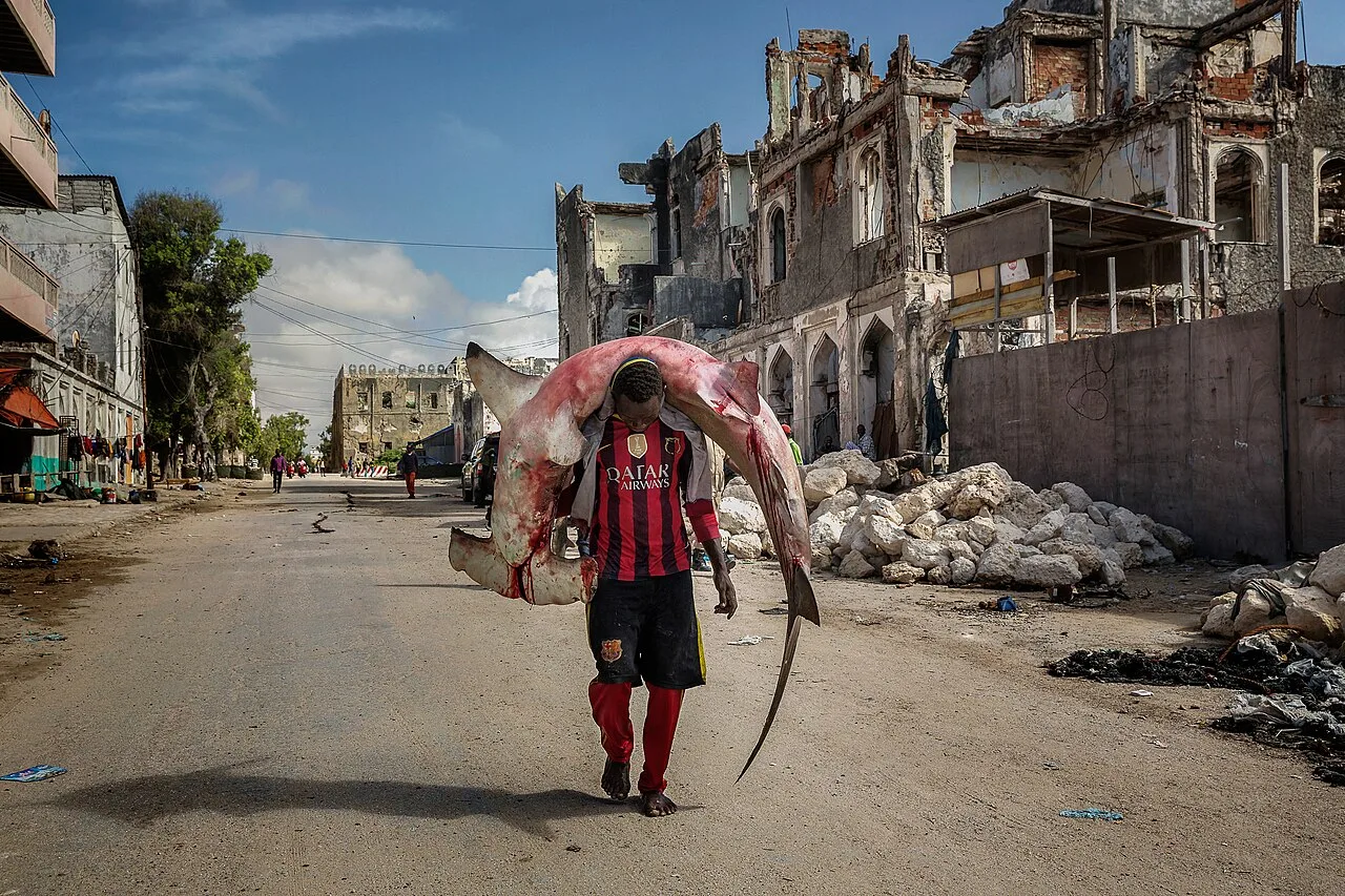
Freshly caught fish and lobster are the staples, often grilled over open fires.
A Somali sourdough pancake, typically eaten for breakfast in local homes.
A traditional and highly nutritious beverage offered by local herders.
🛍 Shopping · 🧘 Quiet spots
The morning catch is sold directly on the beach or at small village stalls.
Local kiosks sell only bare necessities; bring everything you need.
The extensive, undeveloped beaches offer stark and lonely ocean views.
Watch the traditional fishing boats return with their catch in the early morning.
Water temperature…
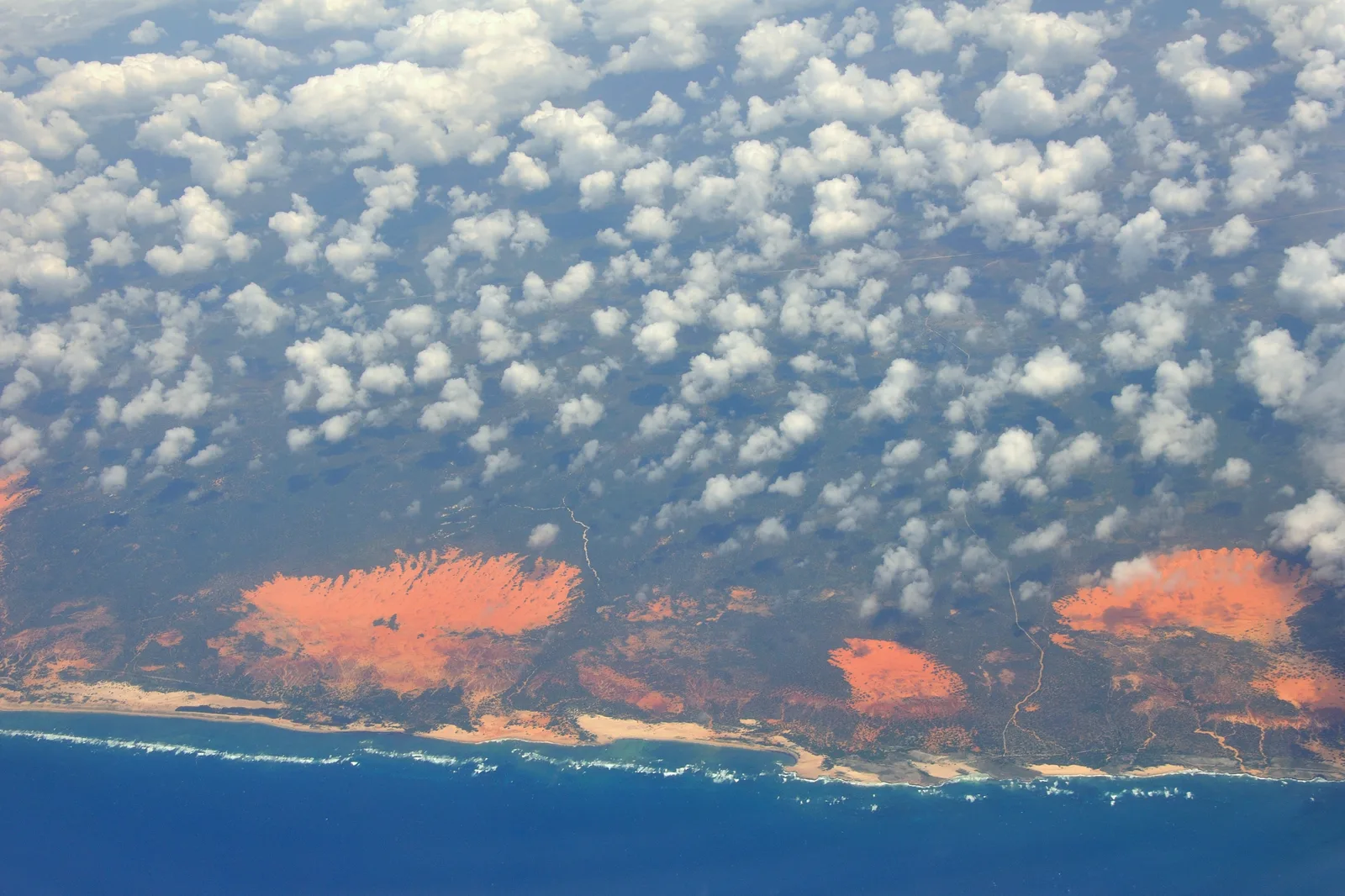
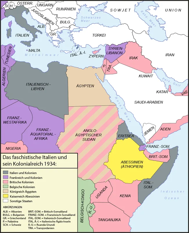
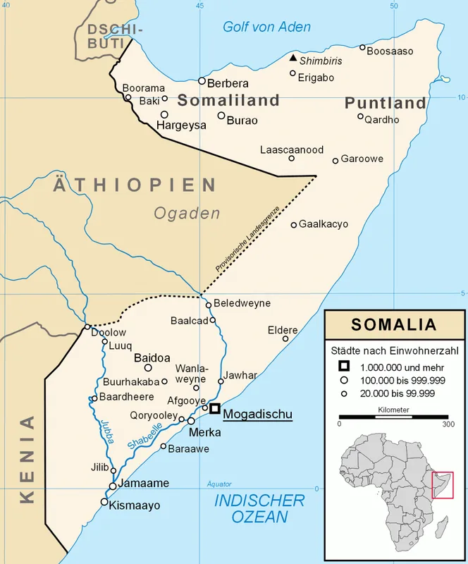
Harardhere, also spelled Xarardheere, is a major town located in the Harardhere District of the Mudug region in Somalia. Situated in the southern part of the region, near the Indian Ocean coast, it serves as the administrative center for a vast agricultural and pastoral hinterland. Historically, the town was a key hub for the trade of livestock and local produce. Harardhere gained international attention in the early 21st century due to regional instability, but it has recently become a focal point for stabilization efforts and the rebuilding of local governance structures. The surrounding geography is characterized by dry scrubland and fertile patches used for grazing during the rainy season. The population primarily consists of pastoralists and small-scale traders who supply the regional market. Ongoing efforts to improve infrastructure, such as developing schools and water access points, are currently shaping the town's development.
- Location: Somalia
- Nearby: El Dher (70 km)
Best time to visit & climate
The most pleasant time to visit is Jan, Jul, Aug.
| Jan | Feb | Mar | Apr | May | Jun | Jul | Aug | Sep | Oct | Nov | Dec | |
|---|---|---|---|---|---|---|---|---|---|---|---|---|
| Avg °C | 26 | 26 | 27 | 29 | 28 | 26 | 25 | 25 | 26 | 27 | 27 | 27 |
| Rain mm | 2 | 3 | 8 | 48 | 22 | 5 | 5 | 8 | 12 | 42 | 66 | 15 |
Geography
Facts
- Geographic coordinates: 4°39' North and 47°51' East.
- The center of the eponymous district in the Mudug region.
- Located approximately 30 kilometers inland from the Indian Ocean coast.
- A major trading center for camels and goats in Galmudug.
- Liberated from long-term militant control in January 2023.
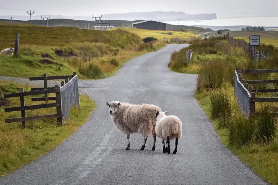
- Local economy relies on pastoralism and coastal fishing activities.
Explore nearby
Notable places around
Route planner — Car & Motorhome
Where do you start? We build the route here, with stops and country notes along the way.
© OpenStreetMap contributors · OpenRouteService
Frequently asked questions
What is the character of Xarardheere?
What is the surrounding area like?
Is Xarardheere a travel destination?
What should one keep in mind when traveling?
When is a visit worthwhile?
Harardhere: where is it located?
Harardhere: when is the best time to visit?
Harardhere: why is it worth visiting?

Nearby cities
History & landmarks
More places