Plizio Visual Lab
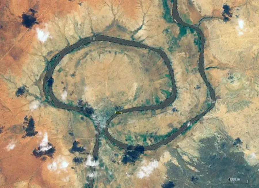
Dadaab Lowlands
Weather…
Water temperature…
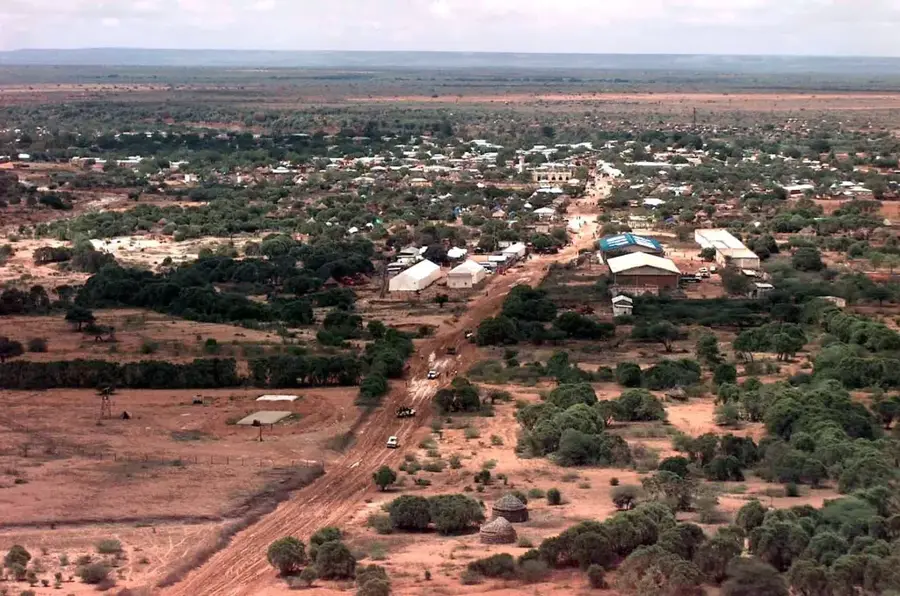
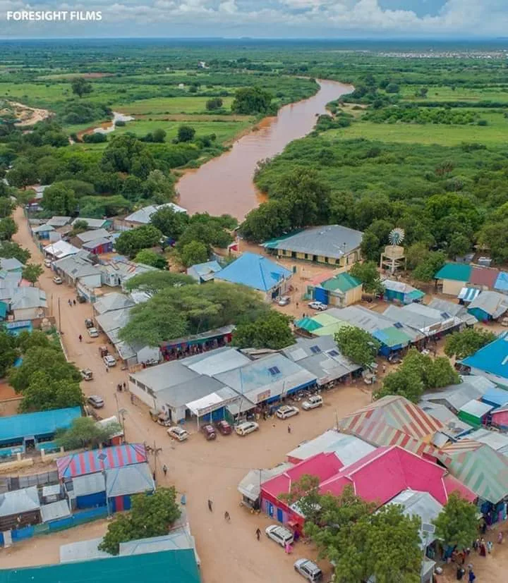
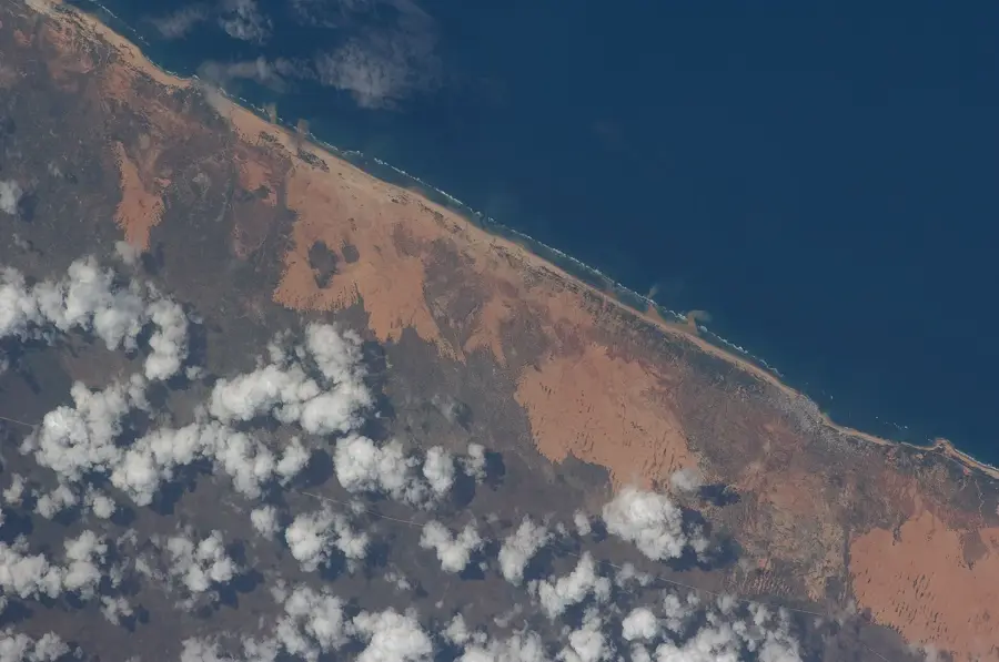
The Dadaab Lowlands encompass a vast semi-arid expanse situated along the border of Kenya and Somalia, geologically forming part of the sedimentary Juba Basin. The landscape is characterized by a flat, uniform relief with sandy-red soils and sparse vegetation primarily consisting of thorny scrubland and acacia trees. Climatically, the region experiences harsh conditions, with protracted droughts followed by sporadic, intense rainfall events that frequently trigger flash floods across the parched plains. While the area is geologically stable, environmental degradation and soil exhaustion have significantly constrained permanent agricultural development. The lowlands gained global attention in 1991 with the establishment of one of the world's largest refugee camp complexes, which fundamentally altered the regional socioeconomic and demographic profile. Local wildlife has evolved to survive the extreme heat, featuring species such as the gerenuk gazelle and various resilient bird species. Infrastructure remains rudimentary, with unpaved tracks serving as the primary logistical arteries connecting the isolated settlements and pastoral communities.
- Location: Somalia
- Nearby: Sablale (79 km)
Best time to visit & climate
The most pleasant time to visit is Feb, Aug, Sep.
| Jan | Feb | Mar | Apr | May | Jun | Jul | Aug | Sep | Oct | Nov | Dec | |
|---|---|---|---|---|---|---|---|---|---|---|---|---|
| Avg °C | 26 | 26 | 27 | 28 | 28 | 27 | 26 | 25 | 26 | 27 | 27 | 27 |
| Rain mm | 4 | 1 | 8 | 83 | 96 | 40 | 19 | 16 | 11 | 40 | 47 | 19 |
📋 Practical info
Geography
Facts
- Dadaab is located approximately 100 kilometers north of the equator in a low-lying basin.
- The average daily maximum temperature fluctuates between 32°C and 38°C year-round.
- The refugee camp system was officially established in 1991 following the Somali Civil War.
- Average annual rainfall in the lowlands is highly variable, usually below 300 mm.
- The surrounding ecosystem is home to the rare Hirola antilope, unique to this border area.
- The underlying geology consists of thick layers of Cenozoic and Mesozoic sediments.
Explore nearby
Notable places around
Route planner — Car & Motorhome
Where do you start? We build the route here, with stops and country notes along the way.
© OpenStreetMap contributors · OpenRouteService
Sights nearby
Frequently asked questions
What characterizes Dadaab lowlands?
Are there tourist attractions?
Is the terrain easy to drive on?
What is the supply situation like there?
What dangers are there?
Dadaab Lowlands: where is it located?
Dadaab Lowlands: when is the best time to visit?
Dadaab Lowlands: why is it worth visiting?

Nearby cities