Plizio Visual Lab
Garbahaarey
ℹ️Practical info — Garbahaarey
▾
🌤 Weather — 5 days
📍 Nearby
Sights nearby
💡 Tips
- Be sure to check the current security situation in the Gedo region before traveling.
- Dress respectfully, covering shoulders and knees to honor local customs.
- Carry small-denomination US dollars, as they are widely accepted alongside the Somali Shilling.
- Explore the settlement in the morning before temperatures rise too much in the semi-arid climate.
🍽 Food
Try this hearty dish made of beans and wheat in the city's simple eateries.
Diced, fried meat usually served with rice or pasta - a very popular lunch.
Enjoy the sweet, cardamom-spiced tea, which is an important part of local hospitality.
🛍 Shopping · 🧘 Quiet spots
Here you will find basic groceries, spices, and the bustling trade of the regional center.
Look for colorful traditional scarves and fabrics at the small stalls.
A late afternoon walk in the hilly surroundings provides a beautiful view of the settlement.
On the edge of the city, away from the hustle of the market, you can enjoy the tranquility of the landscape.
Water temperature…
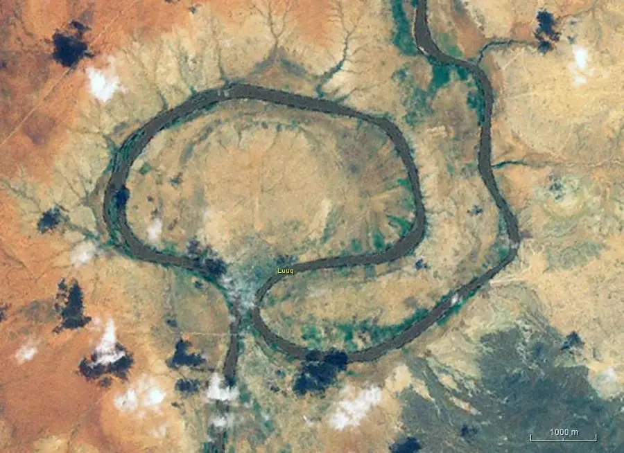
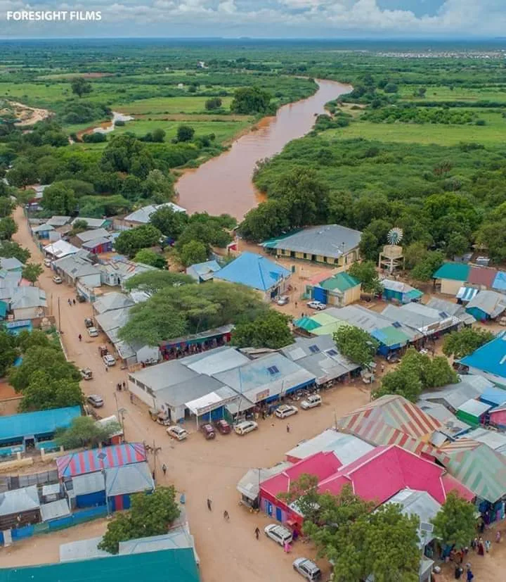
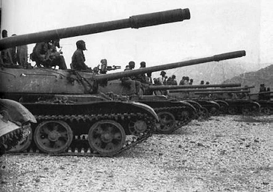
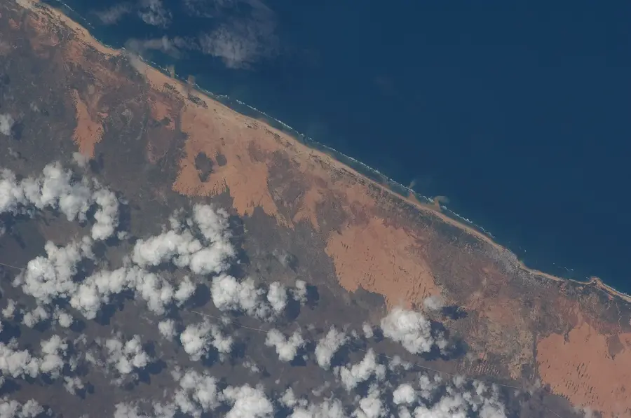
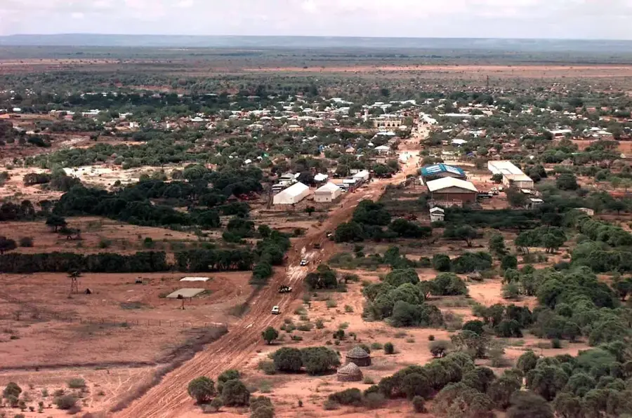
Garbahaarey is the capital of the Gedo region in Somalia. Located in the southwestern part of the country near the Ethiopian border, it has a population of about 100,000 and serves as a major trading hub for agricultural products such as sorghum, maize, and livestock. Founded in the 19th century, its name derives from the local term for the Juba River. The town has an airport and is connected via unpaved roads to other cities. The region is semi-arid and suffers from periodic droughts. Since the 1990s, the town has been affected by clan-based conflicts. Nevertheless, it possesses a rich cultural tradition of poetry and music. Garbahaarey is also a center for Islamic education, with several mosques and Quranic schools.
- Location: Somalia
- Top sights: City Monument · Ruins of Gedo Water Agency
- Nearby: Luuq (56 km)
- Population: ~12.652 (2026)
Best time to visit & climate
The most pleasant time to visit is Jun–Aug.
| Jan | Feb | Mar | Apr | May | Jun | Jul | Aug | Sep | Oct | Nov | Dec | |
|---|---|---|---|---|---|---|---|---|---|---|---|---|
| Avg °C | 28 | 30 | 31 | 29 | 28 | 27 | 27 | 27 | 29 | 29 | 27 | 27 |
| Rain mm | 3 | 3 | 25 | 120 | 39 | 7 | 4 | 7 | 8 | 79 | 88 | 26 |
Geography
Facts
- Capital of Gedo region with about 100,000 inhabitants.
- Founded in the 19th century.
- Elevation: about 200 meters above sea level.
- Garbahaarey Airport (ICAO: HCMS) has a 2,000-meter runway.
- Average annual temperature: 28°C.
- The town lies about 50 km from the Ethiopian border.
Explore nearby
Notable places around
Route planner — Car & Motorhome
Where do you start? We build the route here, with stops and country notes along the way.
© OpenStreetMap contributors · OpenRouteService
Sights in the town Garbahaarey (2)
Frequently asked questions
What characterizes Garbahaarey?
Is the city developed for tourism?
What is the area around Garbahaarey like?
What should I know about the culture?
What role does agriculture play?
Garbahaarey: where is it located?
Garbahaarey: what is there to see?
Garbahaarey: when is the best time to visit?
Garbahaarey: why is it worth visiting?

Nearby cities