Plizio Visual Lab
Mount Sambe
Weather…
Water temperature…
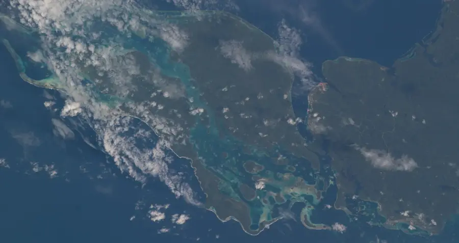
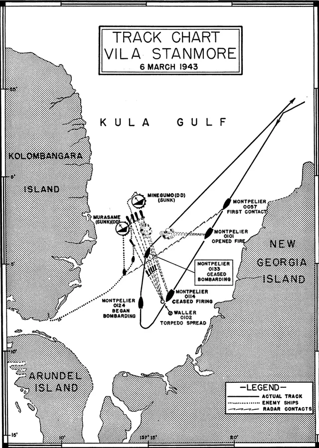
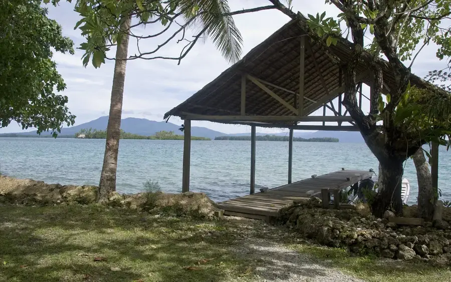
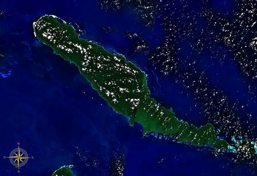
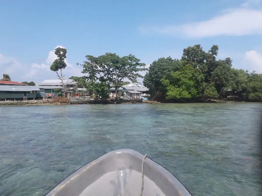
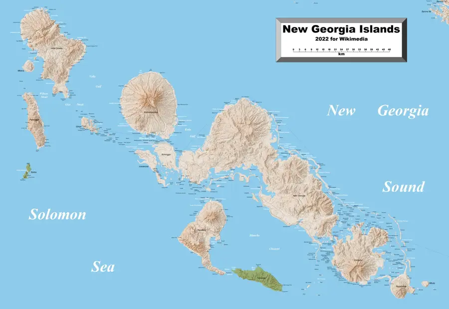
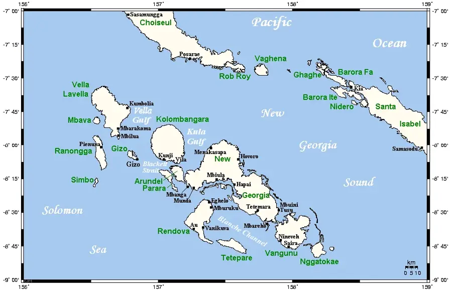
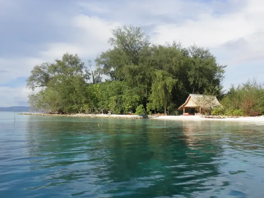
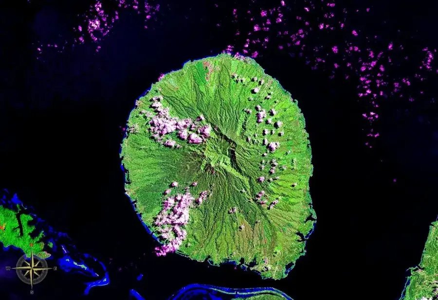
Mount Sambe is a prominent elevation on Choiseul Island in the northwestern Solomon Islands. It is part of the island's central mountain range and is characterized by its steep slopes and dense forest cover. Geologically, Mount Sambe belongs to the Pacific Ring of Fire system and consists predominantly of volcanic rocks formed through tectonic uplift processes. The slopes of the mountain are covered in primary tropical rainforest, which plays a significant role in local biodiversity and provides a habitat for numerous endemic plant and animal species. The mountain serves as an important catchment area, with its streams ensuring the water supply for several surrounding villages. Due to topographic difficulties, the region around Mount Sambe is sparsely developed, which has favored the preservation of the natural environment. For the local population, the mountain holds traditional significance and is often part of the cultural identity of the surrounding communities.
- Location: Solomon Islands
- Nearby: Maru (23 km)
Best time to visit & climate
The most pleasant time to visit is Oct–Dec.
| Jan | Feb | Mar | Apr | May | Jun | Jul | Aug | Sep | Oct | Nov | Dec | |
|---|---|---|---|---|---|---|---|---|---|---|---|---|
| Avg °C | 29 | 28 | 28 | 28 | 29 | 28 | 28 | 28 | 28 | 28 | 28 | 29 |
| Rain mm | 325 | 343 | 311 | 271 | 319 | 325 | 342 | 294 | 282 | 276 | 233 | 228 |
📋 Practical info
Geography
Facts
- The mountain is located in the eastern part of Choiseul Island.
- It consists primarily of volcanic andesite.
- The summit region is often covered by trade wind clouds.
- The mountain feeds several tributaries of the Vura River.
- Rare species of orchids are found on the slopes.
- The region is a designated area for nature conservation research.
Explore nearby
Notable places around
Route planner — Car & Motorhome
Where do you start? We build the route here, with stops and country notes along the way.
© OpenStreetMap contributors · OpenRouteService
Sights nearby
Frequently asked questions
How to reach Mount Sambe?
Are there camping opportunities there?
What animals live there?
Is the trail easy to spot?
What is the best preparation?
Mount Sambe: where is it located?
Mount Sambe: when is the best time to visit?
Mount Sambe: why is it worth visiting?

Nearby cities


History & landmarks

Nature
More places