Plizio Visual Lab
Kukuna
ℹ️Practical info — Kukuna
▾
🌤 Weather — 5 days
📍 Nearby
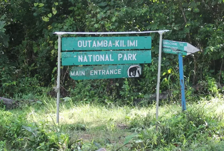
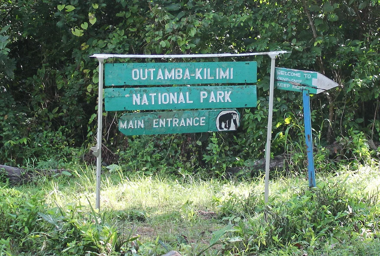
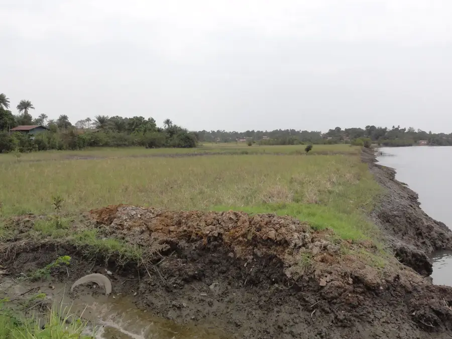
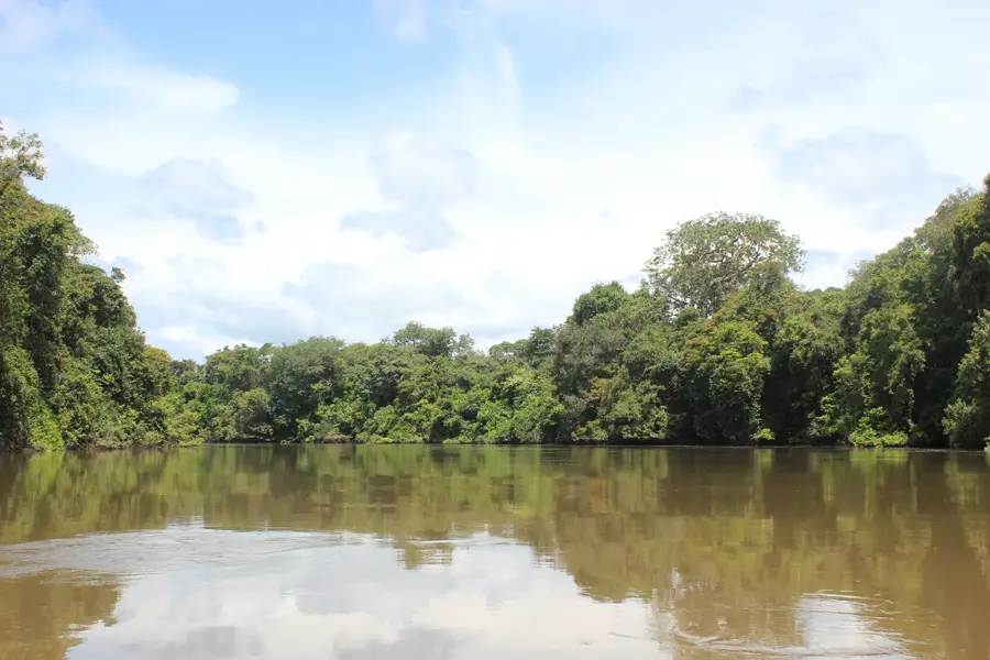
Sights nearby
💡 Tips
- The road from Kambia can be rough; a 4x4 is recommended.
- Cash is king here; ensure you have enough Leones as ATMs are scarce.
- Greetings are very important in the local Susu culture; always take time to say hello.
- Use mosquito repellent and sleep under a net.
🍽 Food
A spicy stew made from pounded cassava leaves and palm oil, usually served with rice at small local eateries.
A hearty peanut-based soup with meat or fish, served with rice.
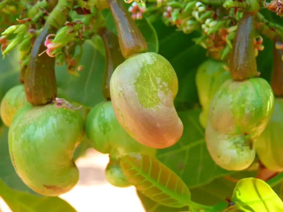
Enjoy locally grown mangoes and pineapples bought directly from the market.
🛍 Shopping · 🧘 Quiet spots
The central market for fresh produce, fabrics, and everyday goods.
Look for colorful West African wax prints sold by market vendors.
Take a peaceful stroll along the local riverbanks just outside the town center.
Walk towards the surrounding agricultural fields at dusk.
Water temperature…
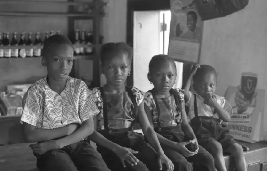
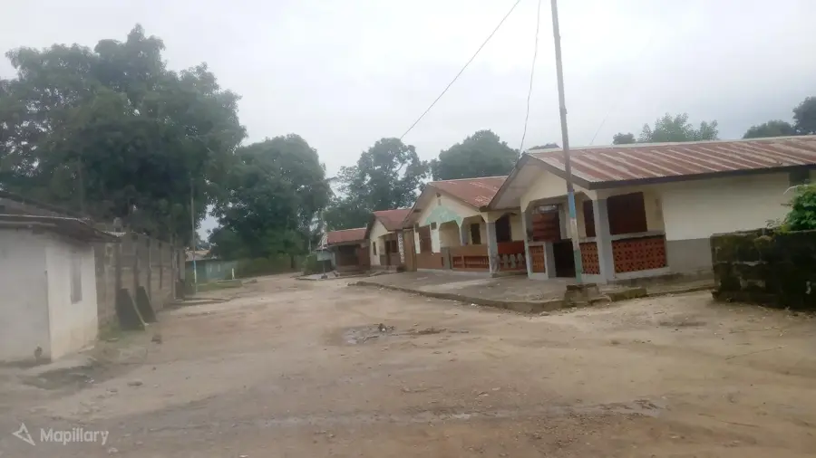
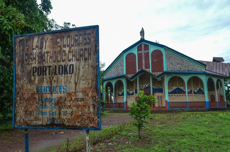
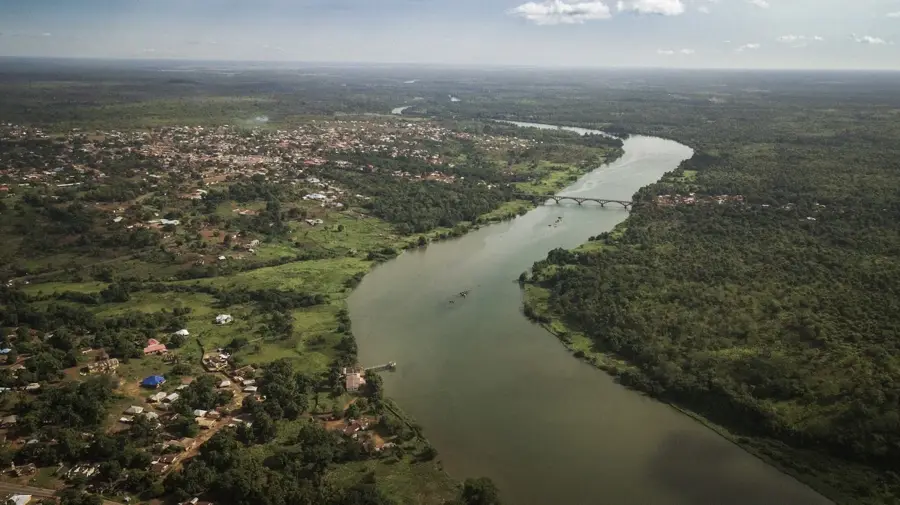
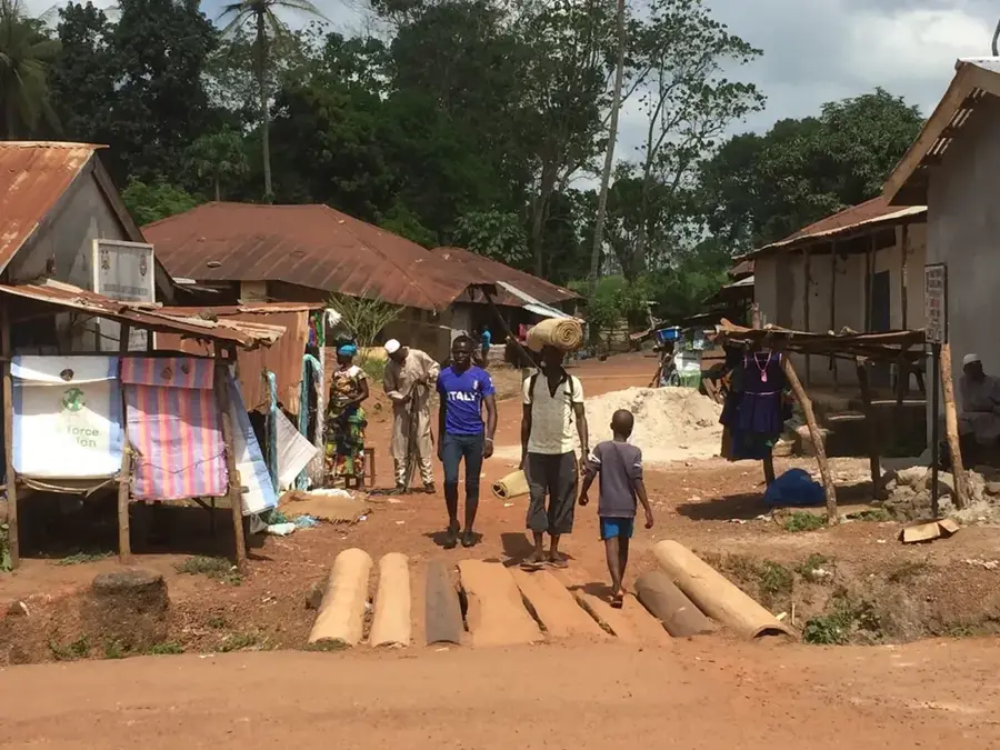
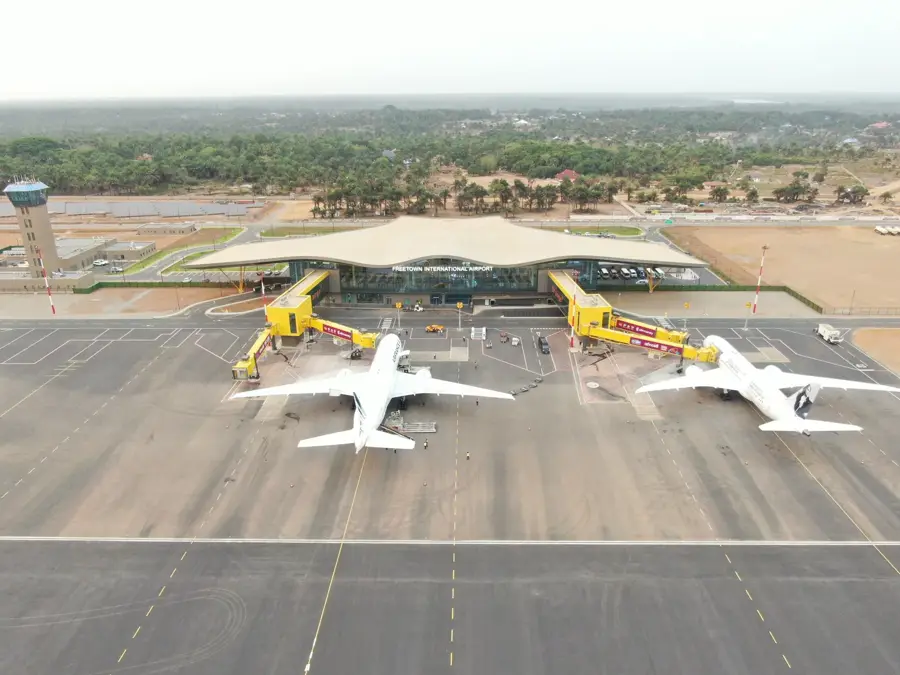
Kukuna is a small town in Kambia District in Sierra Leone's Northern Province, lying in the north-western corner of the country near the border with the Republic of Guinea. The town is the headquarters of Bramaia chiefdom and, for centuries, has been an important node for cross-border trade among the Susu, Mandingo, and Limba communities. As early as the 19th century, Kukuna served as a key caravan station for kola, salt, and cloth exchanged between the lowlands of the Great Scarcies River and the Guinean highlands. Today the local economy rests on rice farming in the extensive Scarcies floodplains, on groundnut, cassava, and vegetable cultivation, and on a busy weekly market that draws traders from Forécariah and Kindia in Guinea. Kukuna has a district central school, several primary schools, a health center, and a number of mosques, since Islam is the dominant religion of the region. Its connection to the main road to Kambia and Pamelap allows regular travel to Conakry.
- Location: Sierra Leone
- Nearby: Kambia (41 km)
- Population: ~7.676 (2014)
Best time to visit & climate
The most pleasant time to visit is Jan, Nov, Dec.
| Jan | Feb | Mar | Apr | May | Jun | Jul | Aug | Sep | Oct | Nov | Dec | |
|---|---|---|---|---|---|---|---|---|---|---|---|---|
| Avg °C | 27 | 30 | 31 | 31 | 29 | 27 | 25 | 25 | 25 | 26 | 26 | 26 |
| Rain mm | 1 | 5 | 5 | 30 | 121 | 322 | 596 | 735 | 395 | 172 | 47 | 3 |
Geography
Facts
- Administrative headquarters of the Bramaia Chiefdom.
- Major border crossing point between Sierra Leone and Guinea.
- The predominant ethnic group in the town is the Susu.
- Trade center for agricultural goods like rice and millet.
- Part of historical West African inland trade networks.
- Key location for regional border security and monitoring.
Explore nearby
Notable places around
Route planner — Car & Motorhome
Where do you start? We build the route here, with stops and country notes along the way.
© OpenStreetMap contributors · OpenRouteService
Frequently asked questions
What characterizes Kukuna?
How to experience the culture?
Is the place safe?
What clothing is recommended?
Do I need cash?
Kukuna: where is it located?
Kukuna: when is the best time to visit?
Kukuna: why is it worth visiting?

Nearby cities


History & landmarks
Nature

More places