Plizio Visual Lab
Ferlo Plains
Weather…
Water temperature…
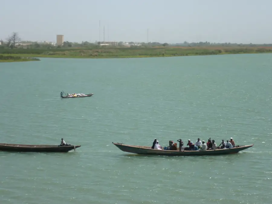
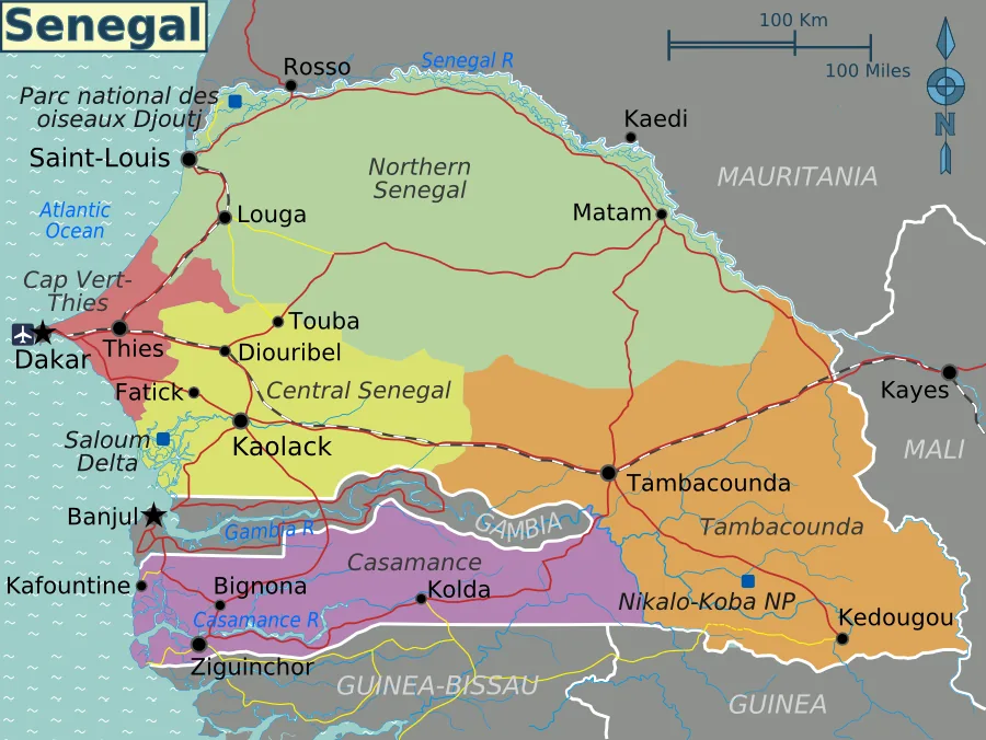
The Ferlo Plains represent a vast, semi-arid region in northern and central Senegal, geographically forming part of the Sahelian belt. The landscape is characterized by sandy expanses, thorny acacia scrubland, and open savannas that appear nearly barren during the dry season but transform into lush green pastures following the first rains. To protect the unique flora and fauna of this biome, the Ferlo-Nord and Ferlo-Sud Wildlife Reserves were established, collectively covering more than one million hectares. This region is the ancestral territory of the pastoralist Fula (Peul) people, whose migratory lifestyle is governed by the constant search for water and grazing land for their zebu cattle. In recent years, the Ferlo has become a centerpiece of the 'Great Green Wall' initiative, an ambitious project aimed at halting desertification through massive reforestation. Despite the harsh climate, the plains support endangered species like the Mhorr gazelle, which has been successfully reintroduced into the wild here.
Best time to visit & climate
The most pleasant time to visit is Jan, Feb, Dec.
| Jan | Feb | Mar | Apr | May | Jun | Jul | Aug | Sep | Oct | Nov | Dec | |
|---|---|---|---|---|---|---|---|---|---|---|---|---|
| Avg °C | 24 | 26 | 29 | 32 | 34 | 34 | 31 | 29 | 28 | 29 | 27 | 25 |
| Rain mm | 1 | 1 | 1 | 0 | 1 | 29 | 112 | 174 | 135 | 20 | 2 | 0 |
📋 Practical info
Geography
Facts
- The total protected area exceeds 10,000 square kilometers.
- Part of the Sahel-Sahara reforestation zone known as the Great Green Wall.
- Primary region for the production of gum arabic from Acacia senegal.
- Annual rainfall is sparse, ranging between 200 and 400 mm.
- Strategic sanctuary for the endangered Mhorr gazelle.
- Traditional homeland of the Peul pastoralists for many centuries.
Explore nearby
Notable places around
Route planner — Car & Motorhome
Where do you start? We build the route here, with stops and country notes along the way.
© OpenStreetMap contributors · OpenRouteService
Sights nearby
Frequently asked questions
What is special about the Ferlo Plain?
Is it safe to travel?
Best season?
Do I need a lot of water?
Are there sights?
Ferlo Plains: where is it located?
Ferlo Plains: when is the best time to visit?
Ferlo Plains: why is it worth visiting?