Plizio Visual Lab
Răcoasa Peak

Weather…
Water temperature…
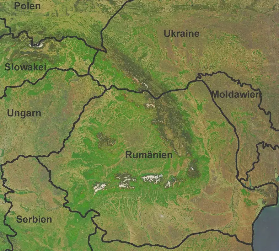
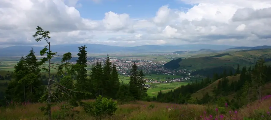
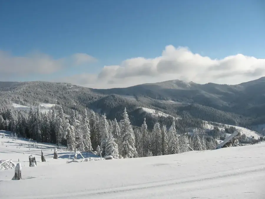
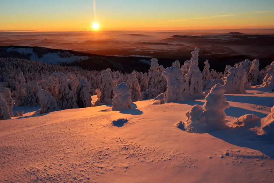
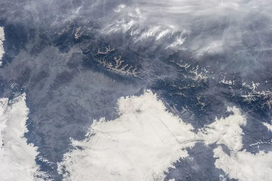
Răcoasa Peak is a significant elevation in the Lotru Mountains, part of the Southern Carpathians in Romania, standing at an altitude of 1811 meters. It is situated in a transition zone between the Lotru and Cindrel mountains, making it a strategic point for regional hiking trails. Geologically, Răcoasa is characterized by Precambrian metamorphic rocks that form a resilient structure against erosion. The summit area is largely treeless, covered by expansive alpine meadows that host diverse mountain flora, including edelweiss and gentians. Historically, the peak served as a navigational landmark for shepherds traveling between Transylvania and Wallachia along ancient transhumance routes. Its topographic prominence allows for extensive views reaching as far as the Parâng Massif to the west during clear weather. The climate is harsh, with strong winds and low average temperatures, which has led to the formation of periglacial landforms. Today, the peak is part of mountain circuits valued for their scenic beauty and opportunities for alpine birdwatching.
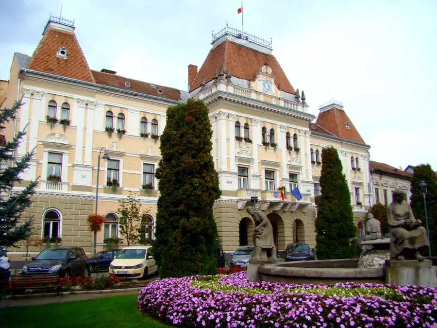
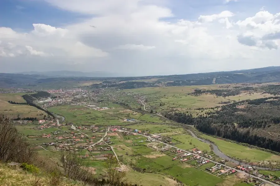
- Location: Harghita, Romania
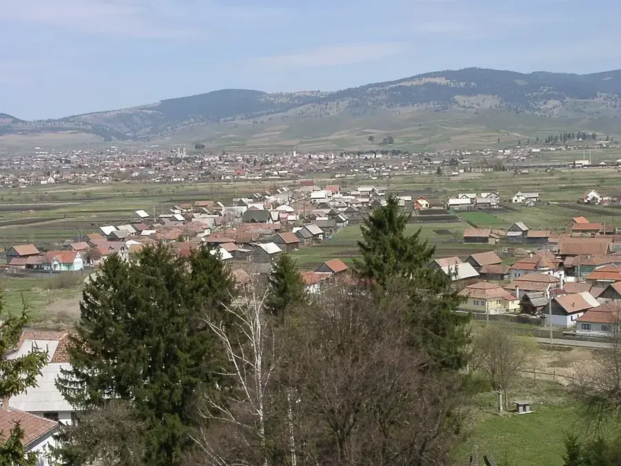
- Nearby: Vlăhița (13 km)
Best time to visit & climate
The most pleasant time to visit is Jul–Sep.
| Jan | Feb | Mar | Apr | May | Jun | Jul | Aug | Sep | Oct | Nov | Dec | |
|---|---|---|---|---|---|---|---|---|---|---|---|---|
| Avg °C | -6 | -4 | 0 | 6 | 12 | 16 | 18 | 18 | 13 | 7 | 2 | -4 |
| Rain mm | 30 | 31 | 40 | 54 | 86 | 117 | 100 | 75 | 54 | 50 | 35 | 35 |
📋 Practical info
Geography
Facts
- Elevation of 1811 meters
- Located at the junction of Lotru and Cindrel ranges
- Formed from Precambrian metamorphic rocks
- Host to rare edelweiss flowers
- Historical landmark for transhumance routes
- Offers views extending to the Parâng Massif
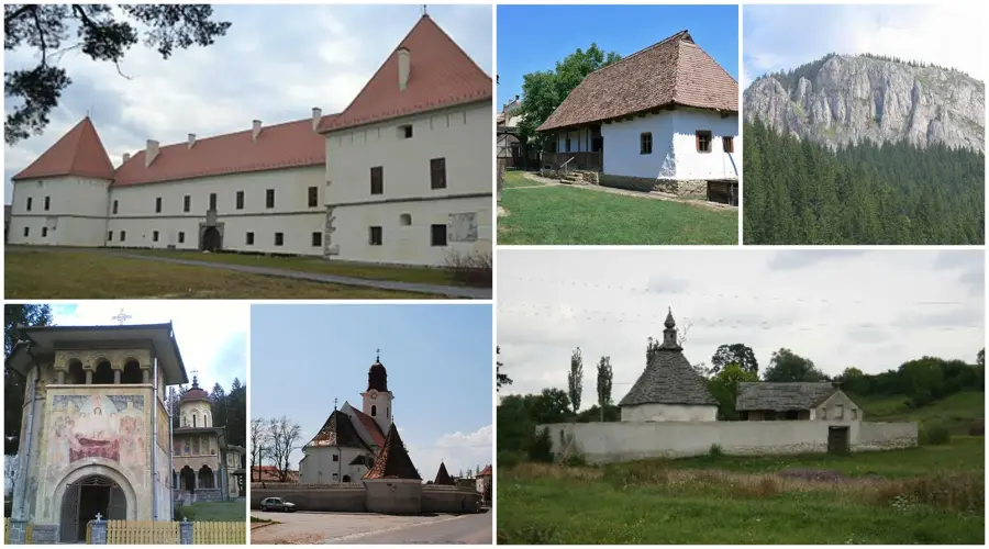
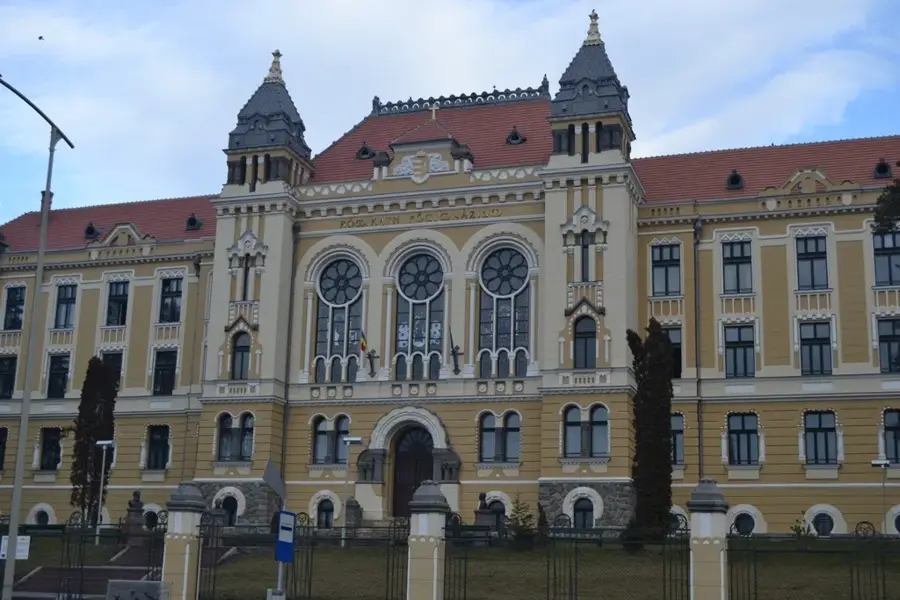
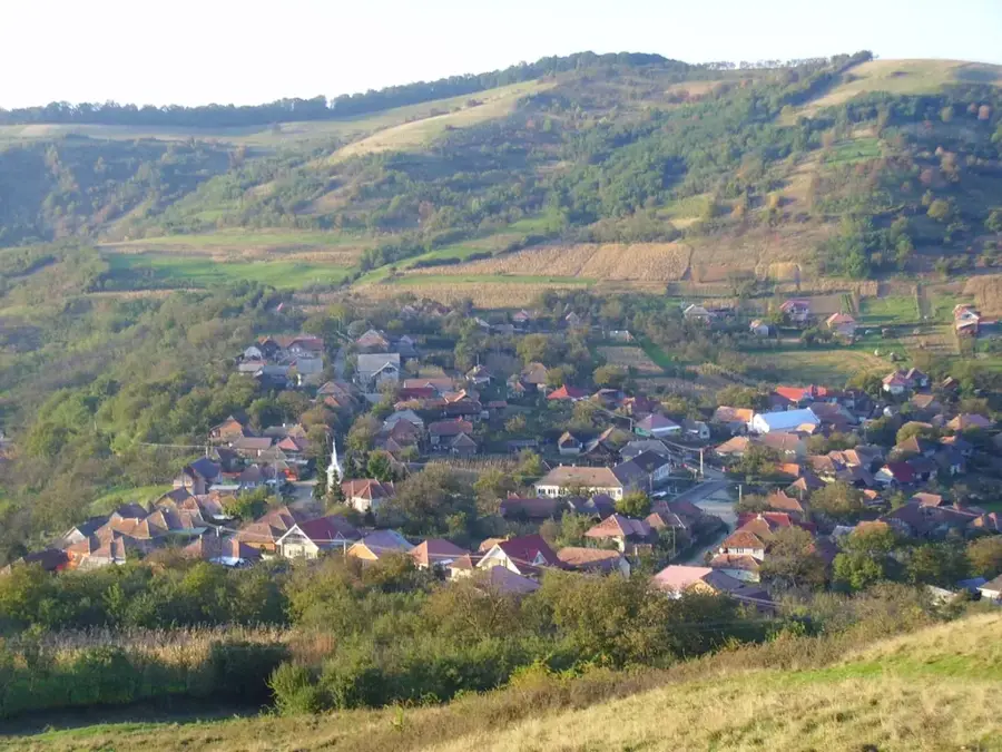
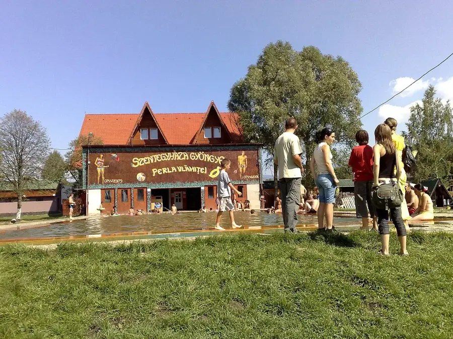
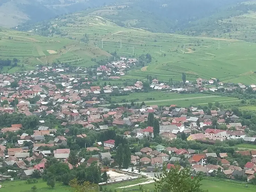
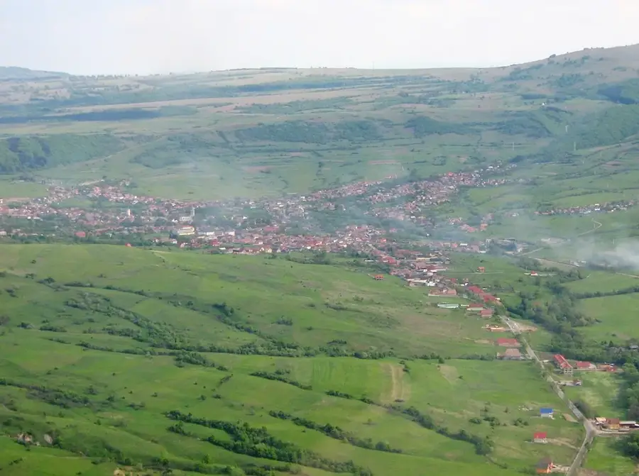
Explore nearby
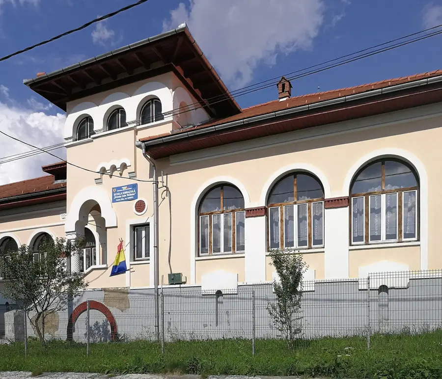
Notable places around
Route planner — Car & Motorhome
Where do you start? We build the route here, with stops and country notes along the way.
© OpenStreetMap contributors · OpenRouteService
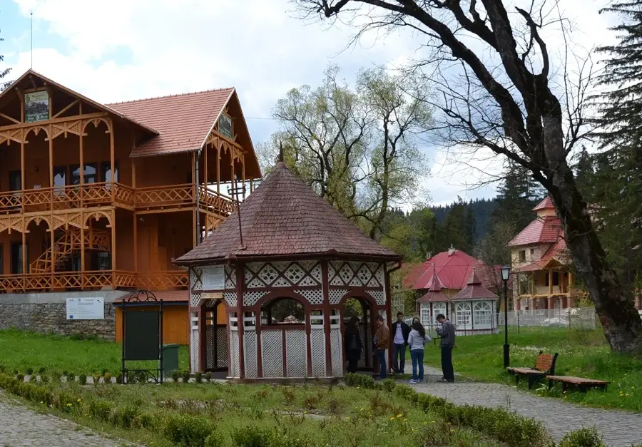
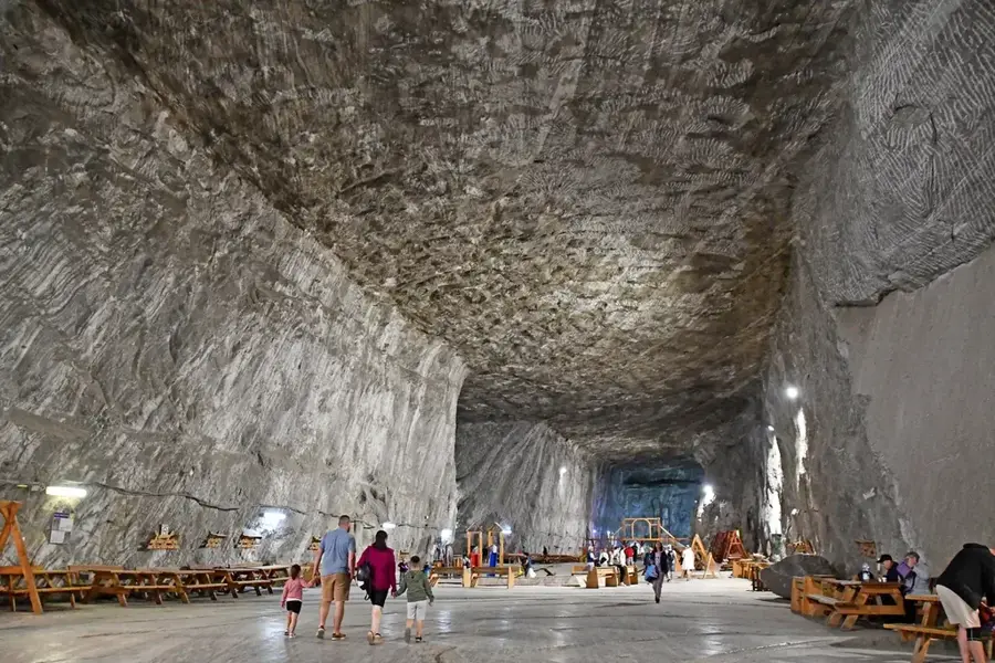
Sights nearby
Frequently asked questions
Where is the Răcoasa peak located?
Where does the name Răcoasa come from?
Is the peak a good lookout point?
Can you find blueberries there?
Is there an avalanche risk in winter?
Răcoasa Peak: where is it located?
Răcoasa Peak: when is the best time to visit?
Răcoasa Peak: why is it worth visiting?

Nearby cities
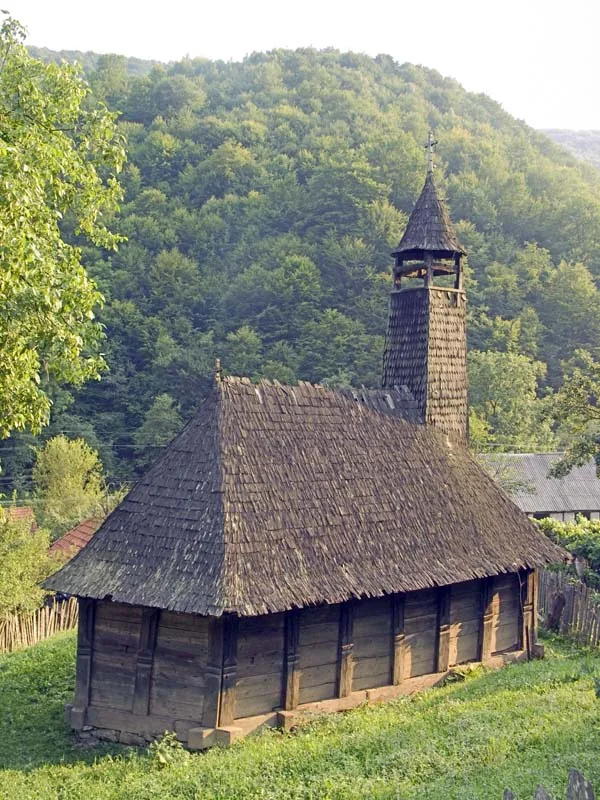

History & landmarks
Nature

More places