Plizio Visual Lab
Fagul Înalt Peak

Weather…
Water temperature…
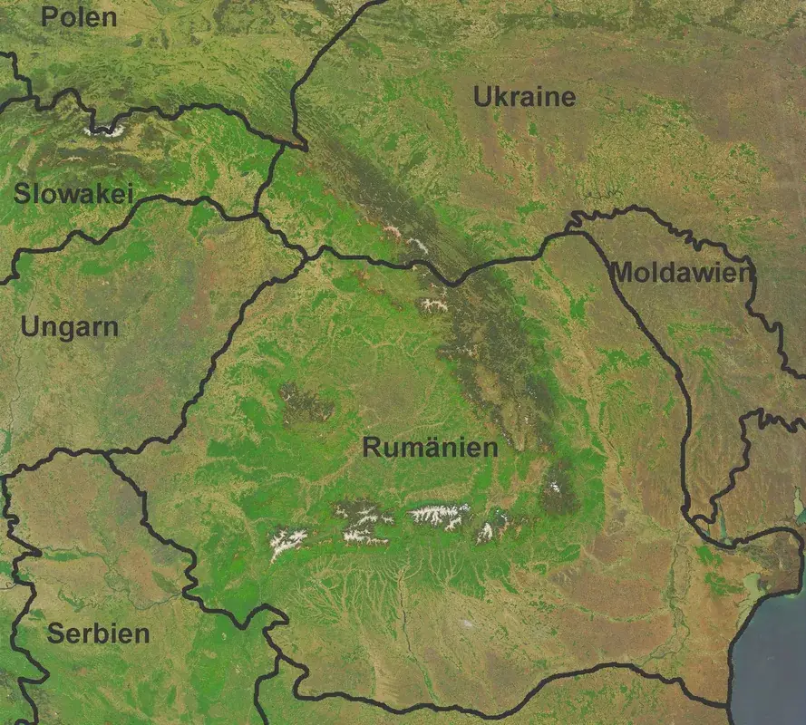
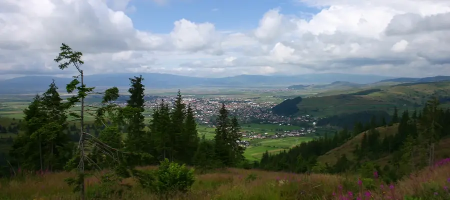
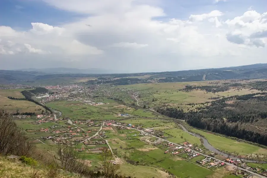
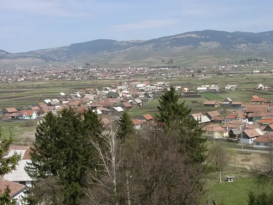
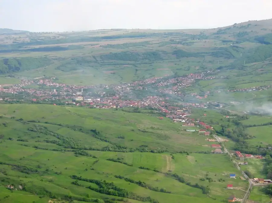
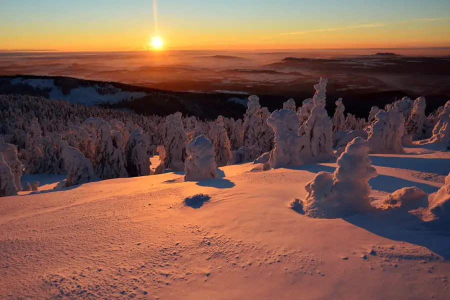
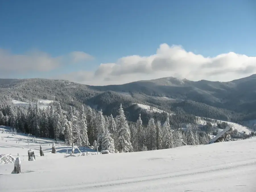
Fagul Înalt Peak is situated in the Lotru Mountains of the Southern Carpathians, reaching an altitude of 1411 meters. Its name, which translates to 'High Beech', reflects the historical vegetation patterns of the region, though today coniferous forests and mountain meadows predominate. Geologically, the peak belongs to the crystalline basement of the Carpathians, composed primarily of gneisses and schists. The terrain is characterized by gentle, rounded slopes, shaped by long-term erosional processes typical of the Lotru Massif. Historically, this area was a vital location for alpine pastoralism, with the meadows surrounding the peak serving as summer pastures for local communities. The summit features panoramic views across the Lotru River valley and towards the neighboring Cindrel and Parâng mountain ranges. The local flora includes species such as gentians and various fern varieties within the forested slopes. The climate is temperate-continental montane, with winters featuring heavy snowfall and cool summers, which dictates the local biodiversity and seasonal activities.
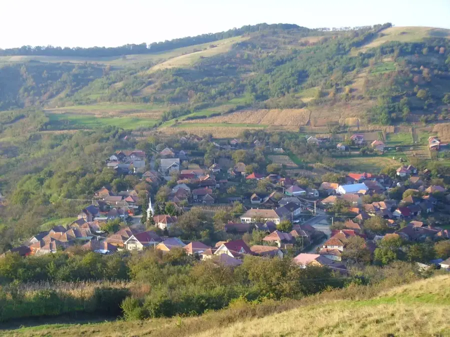
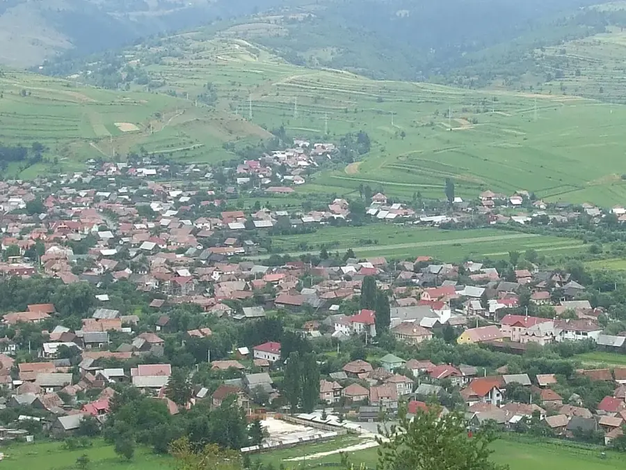
- Location: Harghita, Romania
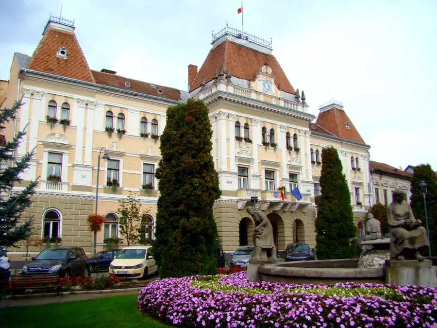
- Nearby: Vlăhița (10 km)
Best time to visit & climate
The most pleasant time to visit is Jul–Sep.
| Jan | Feb | Mar | Apr | May | Jun | Jul | Aug | Sep | Oct | Nov | Dec | |
|---|---|---|---|---|---|---|---|---|---|---|---|---|
| Avg °C | -6 | -4 | 0 | 6 | 12 | 16 | 18 | 18 | 13 | 7 | 2 | -4 |
| Rain mm | 30 | 31 | 40 | 54 | 86 | 117 | 100 | 75 | 54 | 50 | 35 | 35 |
📋 Practical info
Geography
Facts
- Maximum elevation of 1411 meters
- Located in the Lotru Mountains, Romania
- Geological composition includes gneiss and schist
- The name translates to 'High Beech'
- Traditional area for alpine sheep herding
- Provides views over the Lotru River valley
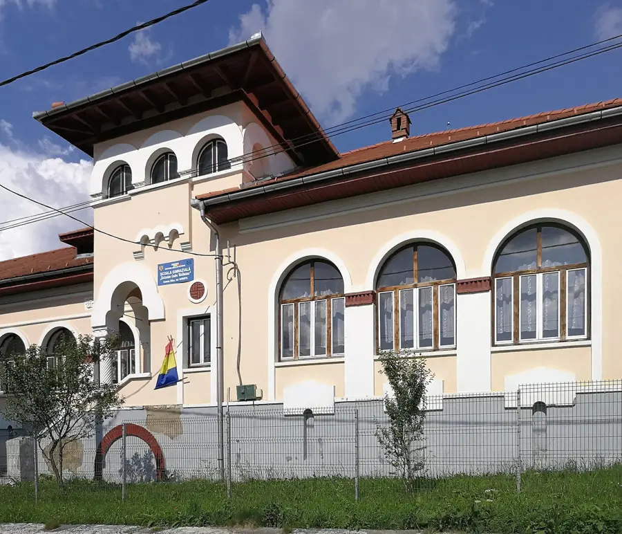
Explore nearby
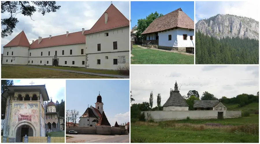
Notable places around
Route planner — Car & Motorhome
Where do you start? We build the route here, with stops and country notes along the way.
© OpenStreetMap contributors · OpenRouteService
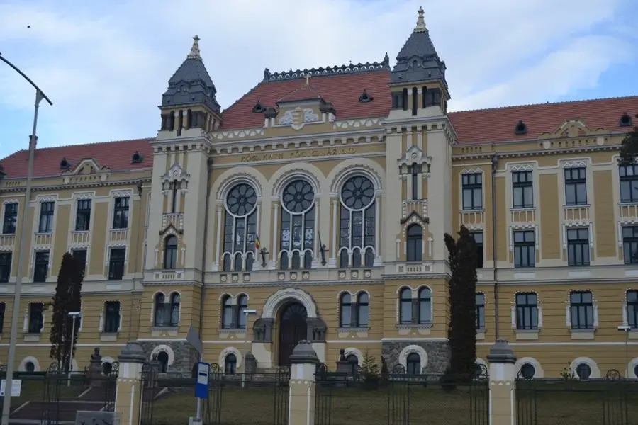
Sights in the town Fagul Înalt Peak (1)
Sights nearby
Frequently asked questions
What does the name 'Fagul Înalt' mean?
How high is this peak?
What vegetation is found here?
Can you reach the peak by mountain bike?
Are there marked trails from Harghita-Băi?
Fagul Înalt Peak: where is it located?
Fagul Înalt Peak: when is the best time to visit?
Fagul Înalt Peak: why is it worth visiting?

Nearby cities
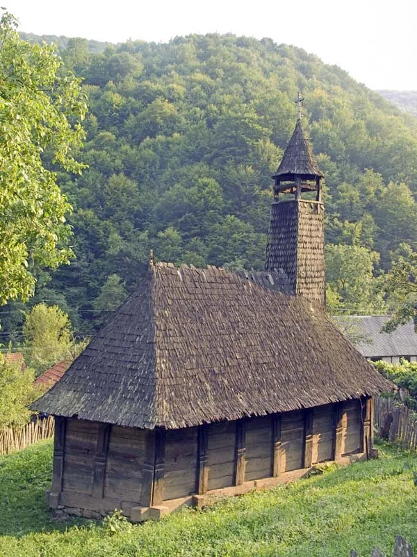

History & landmarks
Nature


More places