Plizio Visual Lab
Serra do Montemuro South
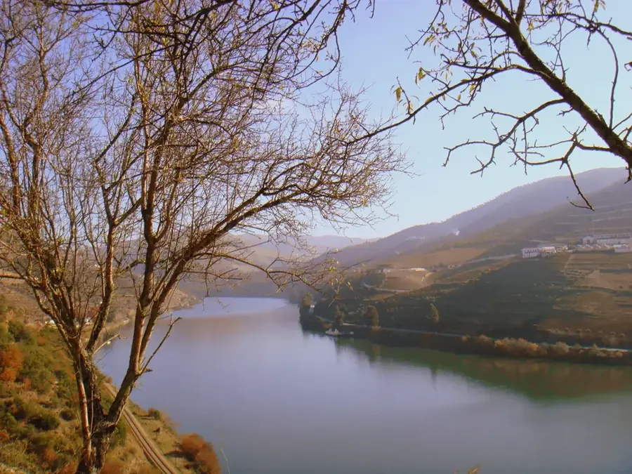
The Serra do Montemuro is the eighth highest mountain range in mainland Portugal, reaching an elevation of 1,382 meters at the Pico de São Cristóvão. Located between the Douro and Vouga rivers, this granitic massif forms a significant natural barrier and is part of the Natura 2000 network due to its high ecological value. The southern relief is characterized by extensive plateaus and deep valleys, where traditional pastoralism remains a vital economic activity despite the harsh winter conditions. Historically, the region has been inhabited since prehistoric times, evidenced by various megalithic monuments scattered across the heights. The landscape is a mosaic of scrubland, rocky outcrops, and small patches of indigenous oak forests, providing a habitat for the Iberian wolf and various birds of prey. In recent years, the mountain has become an important site for renewable energy, with several wind farms installed along its ridges.
- Location: Portugal
- Top sights: Anta Travessas da Orca 1 · Anta da Lameira Travessa · Dólmen da Quinta das Pedras Bem Feitas
- Nearby: Tarouca (14 km)
Best time to visit & climate
The most pleasant time to visit is Jun–Aug.
| Jan | Feb | Mar | Apr | May | Jun | Jul | Aug | Sep | Oct | Nov | Dec | |
|---|---|---|---|---|---|---|---|---|---|---|---|---|
| Avg °C | 6 | 7 | 9 | 11 | 15 | 18 | 21 | 21 | 19 | 14 | 9 | 7 |
| Rain mm | 134 | 95 | 114 | 90 | 58 | 33 | 14 | 22 | 47 | 134 | 137 | 120 |
📋 Practical info
Geography
Facts
- The highest point is Pico de São Cristóvão at 1,382 meters.
- The range is part of the European Natura 2000 ecological network.
- Geologically, the massif consists mainly of Variscan granite.
- It serves as a watershed between the Douro and Vouga river basins.
- Winter temperatures frequently drop below freezing at higher altitudes.
- Several wind farms are situated along the ridges for power generation.
Explore nearby
Notable places around
Route planner — Car & Motorhome
Where do you start? We build the route here, with stops and country notes along the way.
© OpenStreetMap contributors · OpenRouteService
Sights in the town Serra do Montemuro South (3)
Sights nearby
Frequently asked questions
Where is the Serra do Montemuro located?
What is special about the southern side?
Can you go mountain biking there?
How high is the mountain range?
What should be considered in winter?
Serra do Montemuro South: where is it located?
Serra do Montemuro South: what is there to see?
Serra do Montemuro South: when is the best time to visit?
Serra do Montemuro South: why is it worth visiting?

Nearby cities