Plizio Visual Lab
Serra do Espinhaço
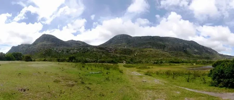
Serra do Espinhaço de Cão is a range of rolling hills in southwestern Portugal, spanning the Algarve and Alentejo regions. With a maximum elevation of approximately 300 meters, it forms a natural buffer between the Atlantic west coast (Costa Vicentina) and the inland plains. Geologically, the range consists mainly of schist and greywacke, resulting in a smooth, undulating topography devoid of sharp peaks. Historically, the region served as an important borderland and a transit corridor for merchants and seasonal pastoralism. The flora is dominated by Mediterranean scrubland, rockrose fields, and cork oak forests, providing habitat for species such as the Iberian hare and wild boar. The climate is heavily moderated by the Atlantic Ocean, leading to mild temperatures but frequent windy conditions. Numerous small streams originate in these hills, flowing westward into the ocean or supplying inland reservoirs. Serra do Espinhaço de Cão is a sanctuary for cyclists and hikers seeking tranquility and wide horizons away from busy tourist hubs. In recent years, wind turbines have been erected along its ridges to harness the consistent coastal breezes.
- Location: Portugal
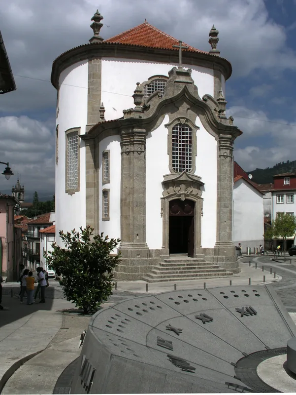
- Top sights: Eucalipto de Contige · Baloiço dos Penedros da Cabeça · Biblioteca Municipal de Sátão
- Nearby: Moimenta da Beira (27 km)
Best time to visit & climate
The most pleasant time to visit is Jun–Aug.
| Jan | Feb | Mar | Apr | May | Jun | Jul | Aug | Sep | Oct | Nov | Dec | |
|---|---|---|---|---|---|---|---|---|---|---|---|---|
| Avg °C | 5 | 5 | 8 | 10 | 14 | 18 | 22 | 22 | 19 | 14 | 8 | 5 |
| Rain mm | 139 | 101 | 118 | 95 | 60 | 33 | 13 | 22 | 47 | 140 | 135 | 127 |
📋 Practical info
Geography
Facts
- The highest point reaches approximately 297 meters above sea level.
- The hills are geologically composed of Paleozoic schist formations.
- It is a significant area for traditional cork harvesting activities.
- The Rota Vicentina long-distance trail passes through parts of this range.
- The region is well-known for honey production from wild blossoms.
- Extensive wind farms along the ridges supply electricity to the Algarve.
Explore nearby
Notable places around
Route planner — Car & Motorhome
Where do you start? We build the route here, with stops and country notes along the way.
© OpenStreetMap contributors · OpenRouteService
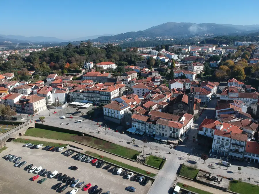
Sights in the town Serra do Espinhaço (4)
Sights nearby
Frequently asked questions
Where is this mountain range located?
Are there wind turbines there?
What is the geology like?
Can you go bird watching there?
Are there small villages there?
Serra do Espinhaço: where is it located?
Serra do Espinhaço: what is there to see?
Serra do Espinhaço: when is the best time to visit?
Serra do Espinhaço: why is it worth visiting?

Nearby cities