Plizio Visual Lab
Serra do Maroi
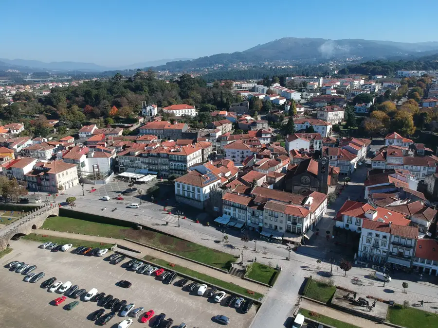
Serra do Maroi is a smaller but visually captivating mountain range in the Viseu region, often standing in the shadow of its larger neighboring massifs. Geographically, it forms part of the transition zone between the Beira plateaus and the Douro River valley. The summits provide expansive panoramic views of Northern Portugal's rolling landscape, characterized by distinct granite formations and deeply carved valleys. The vegetation consists primarily of pine forests and scrubland typical of the central Portuguese climate. However, the valleys contain small streams with lusher riparian growth that serve as sanctuaries for local wildlife species. The region's history is shaped by small-scale farming and viticulture, with many slopes terraced over generations to prevent soil erosion. For hikers and nature lovers, Serra do Maroi provides a sense of solitude and untouched beauty away from major tourist hubs. Maintaining trail networks and implementing wildfire prevention measures are the primary focuses for preserving this regional natural heritage.
- Location: Portugal
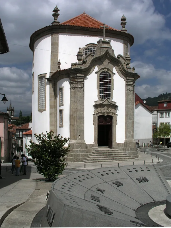
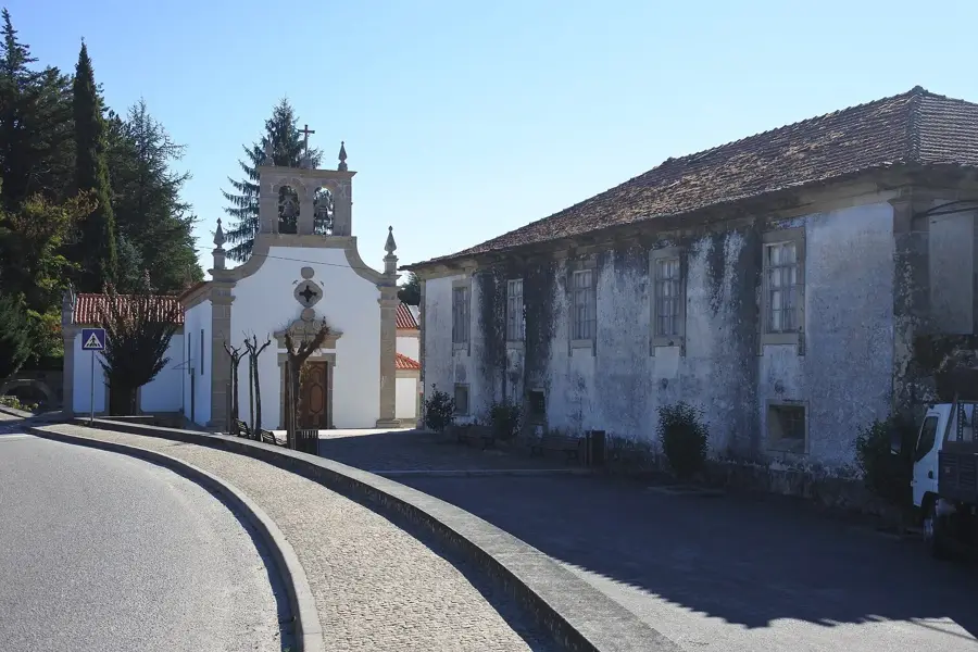
- Top sights: Casa da Torre de Alvite · Casa do Tempo · Centro Hípico
- Nearby: Paços de Ferreira (41 km)
Best time to visit & climate
The most pleasant time to visit is Jul–Sep.
| Jan | Feb | Mar | Apr | May | Jun | Jul | Aug | Sep | Oct | Nov | Dec | |
|---|---|---|---|---|---|---|---|---|---|---|---|---|
| Avg °C | 6 | 7 | 9 | 11 | 14 | 18 | 21 | 21 | 19 | 14 | 9 | 6 |
| Rain mm | 137 | 93 | 118 | 90 | 62 | 38 | 19 | 27 | 46 | 140 | 138 | 125 |
📋 Practical info
Geography
Facts
- The Serra do Maroi is located within the district of Viseu
- Granite is the primary rock type forming the mountain's core
- The area features traditional stone wall terracing for agriculture
- It serves as an important local catchment area for water resources
- The landscape is a mix of commercial forestry and natural scrub
- Local heritage includes ancient granaries and traditional stone dwellings
Explore nearby
Notable places around
Route planner — Car & Motorhome
Where do you start? We build the route here, with stops and country notes along the way.
© OpenStreetMap contributors · OpenRouteService
Sights in the town Serra do Maroi (7)
Sights nearby
Frequently asked questions
Where is Serra do Maroi located?
How high is the peak?
What can you do there?
Are there marked hiking trails?
What is the climate like in winter?
Serra do Maroi: where is it located?
Serra do Maroi: what is there to see?
Serra do Maroi: when is the best time to visit?
Serra do Maroi: why is it worth visiting?

Nearby cities