Plizio Visual Lab
Serra do Maroi East
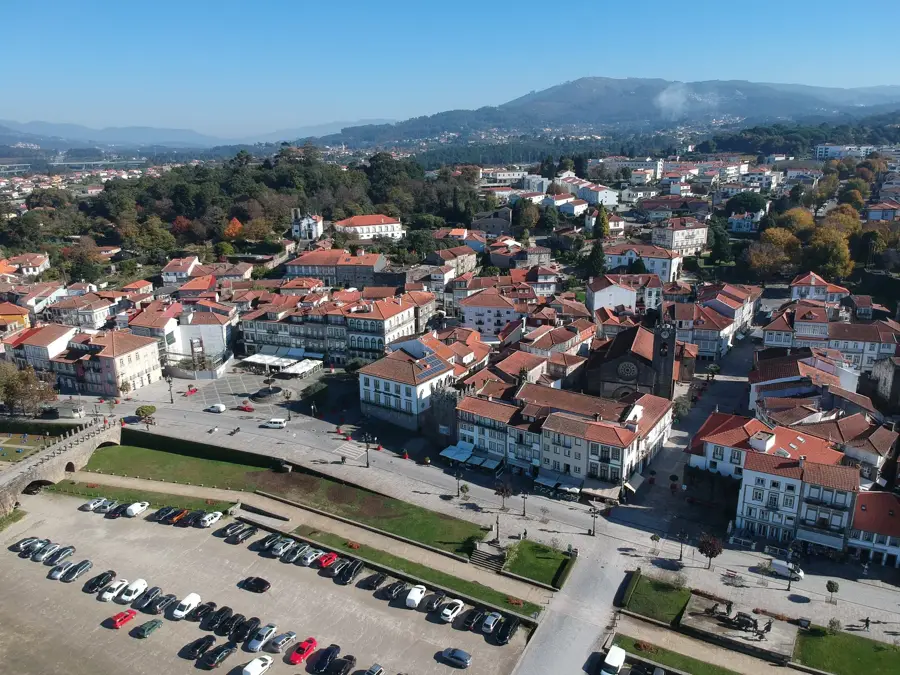
The Serra do Maroi in eastern Portugal represents an important spur of the central mountain system, influencing the watershed between the Douro and Tâmega rivers. The eastern relief is characterized by gentler slopes compared to the west, yet it still features significant elevations that dictate the local microclimate. Geologically, schist formations dominate here, which have been used for centuries in the construction of vineyard terraces in the adjacent Douro region. The vegetation consists primarily of Mediterranean scrubland and reforested pine woods that serve as protection against soil erosion. Historically, the region was an essential transit route for shepherds and traders moving between the hinterland and the coast. In modern times, the relief is increasingly developed for wind energy utilization, which has permanently altered the landscape with modern turbines.
- Location: Portugal
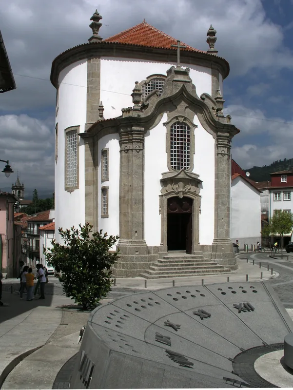
- Top sights: Museu do Ouro de Travassos · Ponte Mem Gutierres · Santuário Nossa Senhora de Porto de Ave
- Nearby: Paços de Ferreira (35 km)
Best time to visit & climate
The most pleasant time to visit is Jul–Sep.
| Jan | Feb | Mar | Apr | May | Jun | Jul | Aug | Sep | Oct | Nov | Dec | |
|---|---|---|---|---|---|---|---|---|---|---|---|---|
| Avg °C | 6 | 7 | 9 | 11 | 14 | 18 | 21 | 21 | 19 | 14 | 9 | 6 |
| Rain mm | 137 | 93 | 118 | 90 | 62 | 38 | 19 | 27 | 46 | 140 | 138 | 125 |
📋 Practical info
Geography
Facts
- The range belongs to the Hercynian massif of the Iberian Peninsula.
- Schist is the dominant rock type in the eastern sector.
- The region serves as a natural shield for the Douro wine-growing areas.
- The average elevation of the relief is between 600 and 800 meters.
- Several small streams feed into the Douro River from this area.
- Traces of Roman mining activities can be found in the vicinity.
Explore nearby
Notable places around
Route planner — Car & Motorhome
Where do you start? We build the route here, with stops and country notes along the way.
© OpenStreetMap contributors · OpenRouteService
Sights in the town Serra do Maroi East (3)
Sights nearby
Frequently asked questions
What is the Serra do Maroi?
Are there panoramic views?
Is the area developed for tourism?
What should you bring on a hike?
What flora can be found here?
Serra do Maroi East: where is it located?
Serra do Maroi East: what is there to see?
Serra do Maroi East: when is the best time to visit?
Serra do Maroi East: why is it worth visiting?

Nearby cities