Plizio Visual Lab
Serra do Maroi South
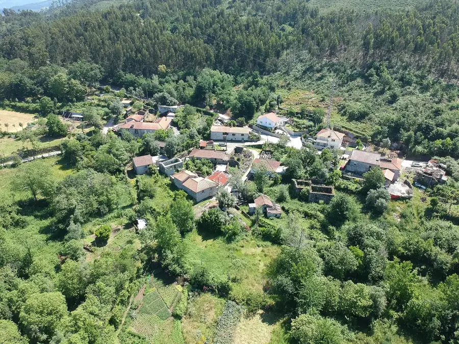
The southern slopes of Serra do Maroi are situated in the Vila Real district, forming part of the transition zone between the Trás-os-Montes and Douro regions. The relief is characterized by deep valleys and steep ascents, primarily composed of crystalline schists. Climatically, the region benefits from its relative proximity to the Douro Valley, which allows for milder temperatures compared to the northern highlands. The vegetation is a mix of chestnut forests and barren heathlands, with the latter dominating at higher elevations. Historically, the area was significant for mining and livestock farming, while today wind power generation defines the appearance of the mountain ridges. The hydrology is shaped by small tributaries that flow south toward the Douro River. In the lower-lying areas, vineyards appear, bordering the famous Port wine region. The geographic isolation provides a sanctuary for birds of prey and other endangered wildlife species.
- Location: Portugal
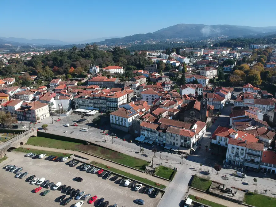
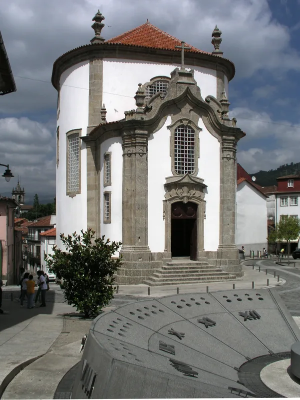
- Top sights: Margial · Castro de São Torcato · Castelo de São Torcato
- Nearby: Paços de Ferreira (29 km)
Best time to visit & climate
The most pleasant time to visit is Jul–Sep.
| Jan | Feb | Mar | Apr | May | Jun | Jul | Aug | Sep | Oct | Nov | Dec | |
|---|---|---|---|---|---|---|---|---|---|---|---|---|
| Avg °C | 6 | 7 | 9 | 11 | 14 | 18 | 21 | 21 | 19 | 14 | 9 | 6 |
| Rain mm | 137 | 93 | 118 | 90 | 62 | 38 | 19 | 27 | 46 | 140 | 138 | 125 |
📋 Practical info
Geography
Facts
- Located in the transition area between Trás-os-Montes and Douro
- Geological composition consists primarily of crystalline schist
- Significant area for wind energy production in the region
- Home to extensive chestnut forests at middle altitudes
- Regional water systems flow south into the Douro River
- Provides habitat for rare birds of prey such as the golden eagle
Explore nearby
Notable places around
Route planner — Car & Motorhome
Where do you start? We build the route here, with stops and country notes along the way.
© OpenStreetMap contributors · OpenRouteService
Sights in the town Serra do Maroi South (5)
Sights nearby
Frequently asked questions
Where is Serra do Maroi?
What does the south side offer?
How high are these mountains?
Are there cultural attractions?
Is hiking safe there?
Serra do Maroi South: where is it located?
Serra do Maroi South: what is there to see?
Serra do Maroi South: when is the best time to visit?
Serra do Maroi South: why is it worth visiting?

Nearby cities