Plizio Visual Lab
Serra do Coris

Weather…
Water temperature…
The Serra do Coris is a smaller but ecologically significant mountain relief in northern Portugal, part of the complex orographic system between the Minho Valley and the Peneda-Gerês National Park. The landscape features a mix of granite formations and metamorphic rocks, creating a terrain that ranges from rolling hills to steep ridges. The vegetation is heavily influenced by the Atlantic climate, characterized by dense oak forests (Quercus pyrenaica) and extensive heathlands. Historically, the region served as a transit area for transhumant pastoralism, leading to the development of a network of medieval paths and small stone huts known as 'brandas'. The climate is humid and mild, supporting a rich biodiversity that includes various amphibian species and rare orchids. Although less prominent than the neighboring Peneda range, it serves as a crucial ecological corridor for large mammals such as the Iberian wolf and roe deer, maintaining regional habitat connectivity.
- Location: Portugal
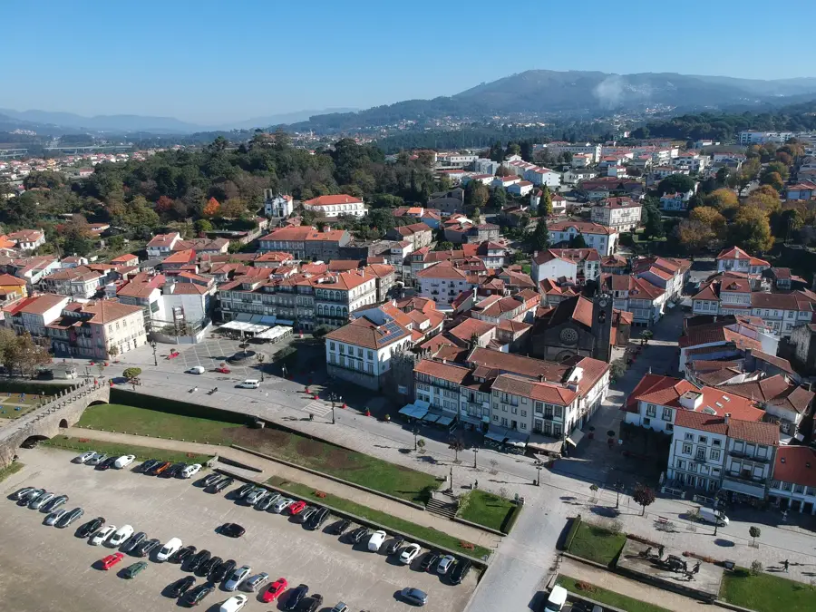
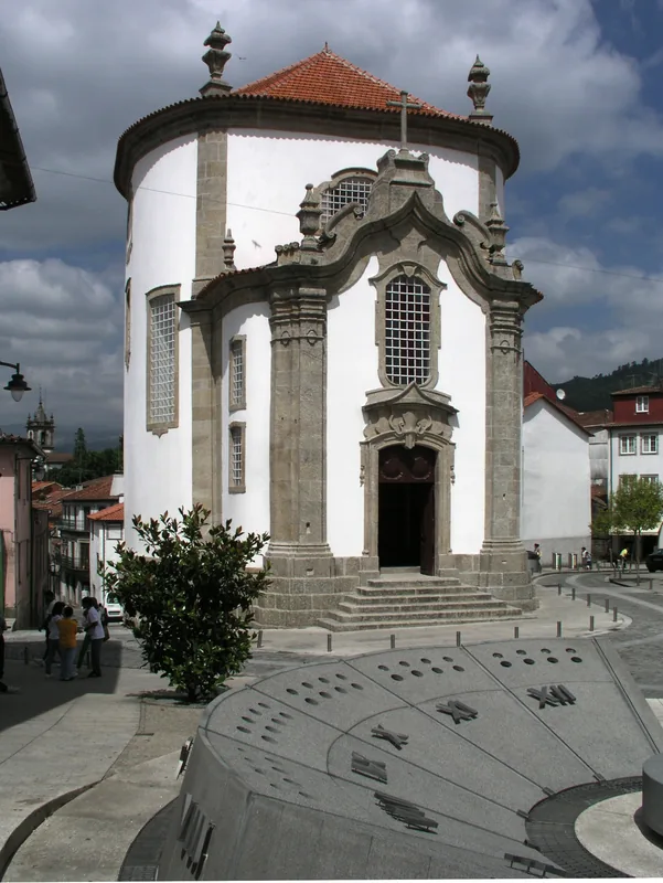
- Top sights: Povoado Fortificado de Picões · Povoado Fortificado de Cabreira no Rebentão · Baloiço São Lourenço
- Nearby: Alfândega da Fé (9 km)
Best time to visit & climate
The most pleasant time to visit is Jun, Jul, Sep.
| Jan | Feb | Mar | Apr | May | Jun | Jul | Aug | Sep | Oct | Nov | Dec | |
|---|---|---|---|---|---|---|---|---|---|---|---|---|
| Avg °C | 5 | 5 | 8 | 11 | 15 | 20 | 23 | 23 | 20 | 14 | 8 | 5 |
| Rain mm | 99 | 75 | 89 | 74 | 48 | 31 | 15 | 19 | 35 | 105 | 92 | 98 |
📋 Practical info
Geography
Facts
- It belongs to the orographic system of the Minho region.
- The primary tree species is the Pyrenean oak (Quercus pyrenaica).
- Traditional shepherd stone huts are called 'brandas'.
- It acts as an ecological corridor for the Iberian wolf.
- The rock composition includes both granite and schist.
- The region records high annual precipitation levels.
Explore nearby
Notable places around
Route planner — Car & Motorhome
Where do you start? We build the route here, with stops and country notes along the way.
© OpenStreetMap contributors · OpenRouteService
Sights in the town Serra do Coris (4)
Sights nearby
Frequently asked questions
How high is Serra do Coris?
Are there marked hiking trails?
When is the best time to visit?
What flora is typical?
Is the region accessible by car?
Serra do Coris: where is it located?
Serra do Coris: what is there to see?
Serra do Coris: when is the best time to visit?
Serra do Coris: why is it worth visiting?

Nearby cities