Plizio Visual Lab
Serra do Caldeirão
Weather…
Water temperature…
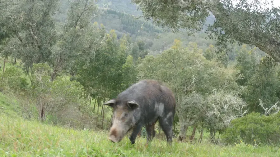
The Serra do Caldeirão is a mountain range in the Algarve and Alentejo. It is about 80 kilometers long and reaches heights up to 577 meters. The area is characterized by cork oak forests, maquis, and pastureland. It is an important watershed. The Serra do Caldeirão is known for its biodiversity, including the Iberian lynx. Traditional agriculture includes cork harvesting and livestock. There are many hiking trails. Villages are small and traditional. The climate is Mediterranean with hot summers and mild winters. The Serra provides a quiet retreat. It separates the Algarve from Alentejo. Caves and gorges are popular destinations. The region is sparsely populated. Flora includes strawberry trees and cistus. Fauna includes wild boar and birds of prey. The Serra do Caldeirão is an important natural area.
- Location: Portugal
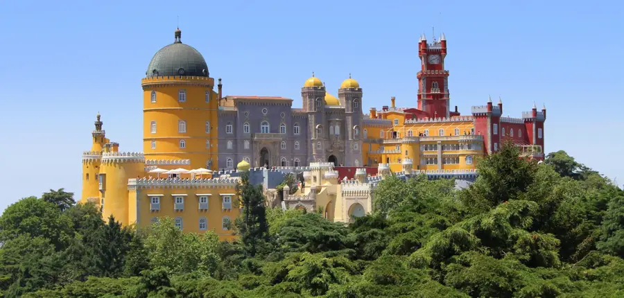
- Top sights: Tholos da Cumeada · Anta da Pedra do Alagar · Miradouro do Caldeirão
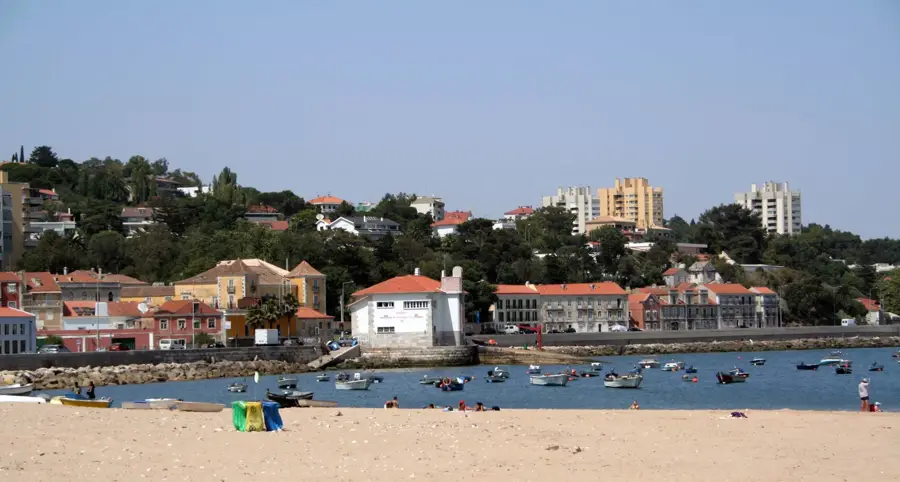
- Nearby: Montenegro (33 km)
Best time to visit & climate
The most pleasant time to visit is Jun, Jul, Sep.
| Jan | Feb | Mar | Apr | May | Jun | Jul | Aug | Sep | Oct | Nov | Dec | |
|---|---|---|---|---|---|---|---|---|---|---|---|---|
| Avg °C | 9 | 10 | 12 | 14 | 18 | 23 | 25 | 26 | 22 | 18 | 13 | 10 |
| Rain mm | 50 | 47 | 56 | 54 | 30 | 8 | 1 | 4 | 23 | 69 | 84 | 63 |
📋 Practical info
Geography
Facts
- The highest peak is Mu at 577 meters.
- The range extends for 80 kilometers.
- Cork oak forests cover 40% of the area.
- The Iberian lynx population is about 10 individuals.
- Average annual rainfall is 600 mm.
- The Serra hosts over 200 springs.
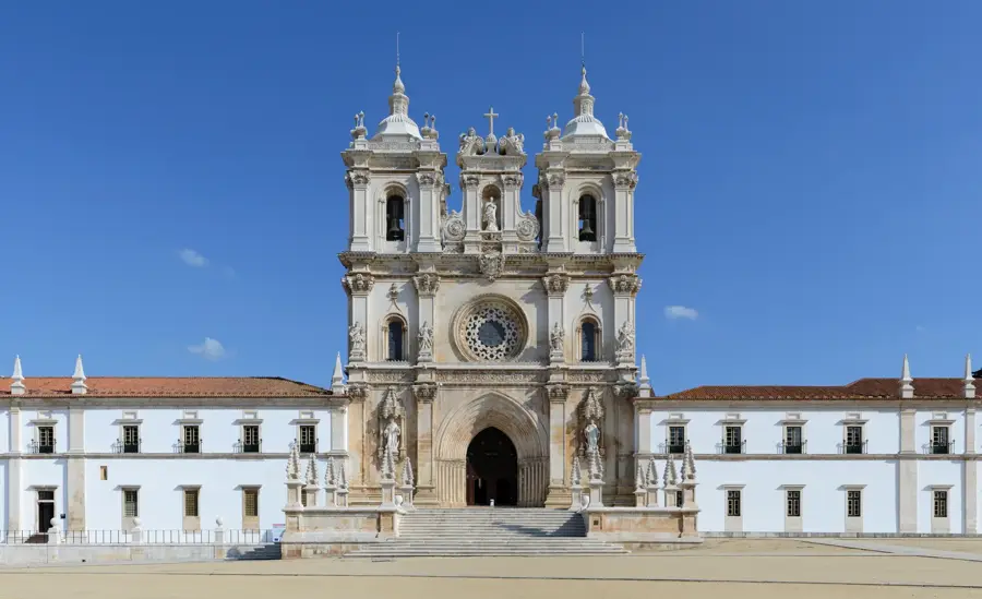
Explore nearby
Notable places around
Route planner — Car & Motorhome
Where do you start? We build the route here, with stops and country notes along the way.
© OpenStreetMap contributors · OpenRouteService
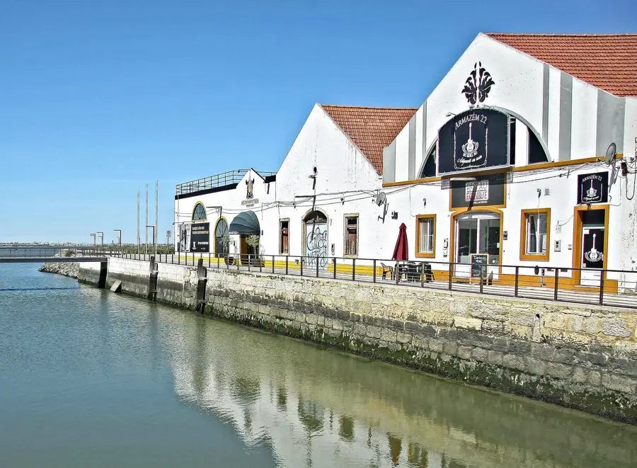
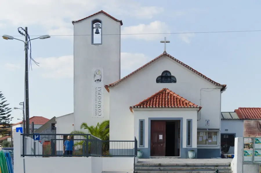
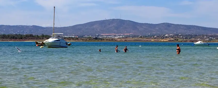
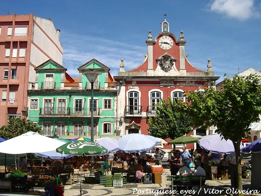
Sights in the town Serra do Caldeirão (4)
Sights nearby
Frequently asked questions
Where is Serra do Caldeirão located?
What is the typical plant of the region?
Which city is a good starting point?
What is the landscape like?
Are there traditional villages there?
Serra do Caldeirão: where is it located?
Serra do Caldeirão: what is there to see?
Serra do Caldeirão: when is the best time to visit?
Serra do Caldeirão: why is it worth visiting?

Nearby cities

History & landmarks