Plizio Visual Lab
Serra do Caldeirão East
Weather…
Water temperature…
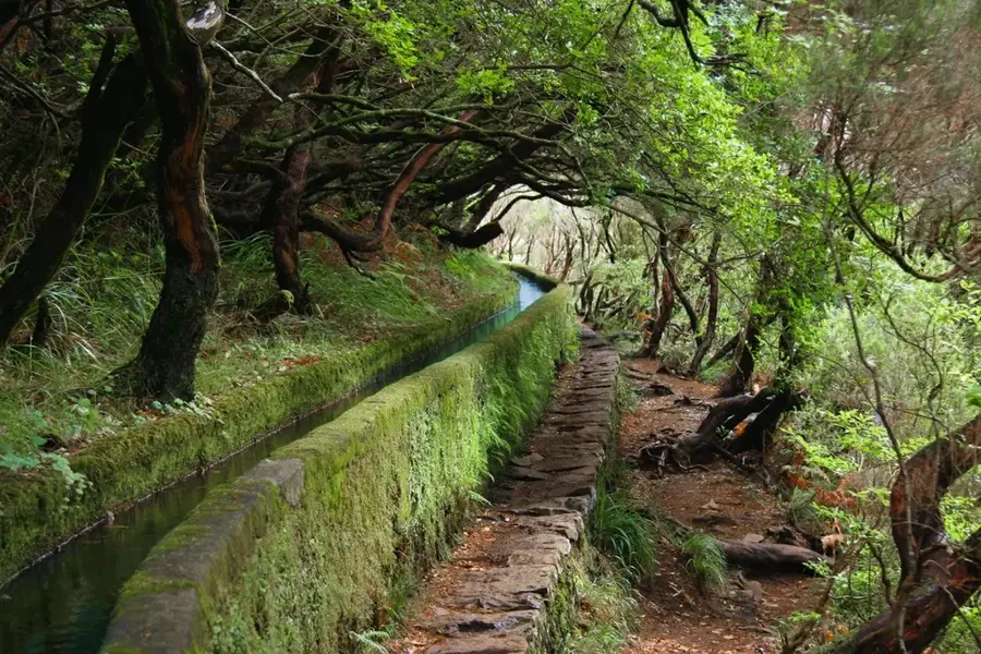
The eastern Serra do Caldeirão forms the rolling hinterland of the eastern Algarve, acting as a barrier against cold northern winds. The relief is characterized by countless rounded hills composed of schist and greywacke, creating a wavy landscape without prominent peaks. This region is the heartland of Portuguese cork production, with extensive cork oak forests (Montados) managed sustainably for centuries. The hydrology is shaped by small rivers like the Gilão that flow toward the Ria Formosa. Due to poor soils and summer water scarcity, agriculture specializes in drought-resistant crops such as almonds, carob, and olives. Historically, the mountains served as a place of refuge and protection during various eras. Traditional villages with their whitewashed houses preserve an archaic culture strongly defined by local handicrafts and the seasonal extraction of cork.
- Location: Portugal
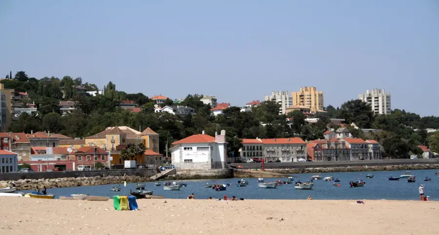
- Nearby: Cabanas de Tavira (30 km)
Best time to visit & climate
The most pleasant time to visit is Jun, Jul, Sep.
| Jan | Feb | Mar | Apr | May | Jun | Jul | Aug | Sep | Oct | Nov | Dec | |
|---|---|---|---|---|---|---|---|---|---|---|---|---|
| Avg °C | 9 | 10 | 12 | 14 | 18 | 23 | 25 | 26 | 22 | 18 | 13 | 10 |
| Rain mm | 50 | 47 | 56 | 54 | 30 | 8 | 1 | 4 | 23 | 69 | 84 | 63 |
📋 Practical info
Geography
Facts
- Major center for cork production in southern Portugal
- Geology consists primarily of schist and greywacke
- Acts as a climatic barrier between Alentejo and Algarve
- Hydrological catchment area for rivers like the Gilão
- Specialization in drought-resistant crops like almonds and carob
- Features traditional architecture with whitewashed lime facades
Explore nearby
Notable places around
Route planner — Car & Motorhome
Where do you start? We build the route here, with stops and country notes along the way.
© OpenStreetMap contributors · OpenRouteService
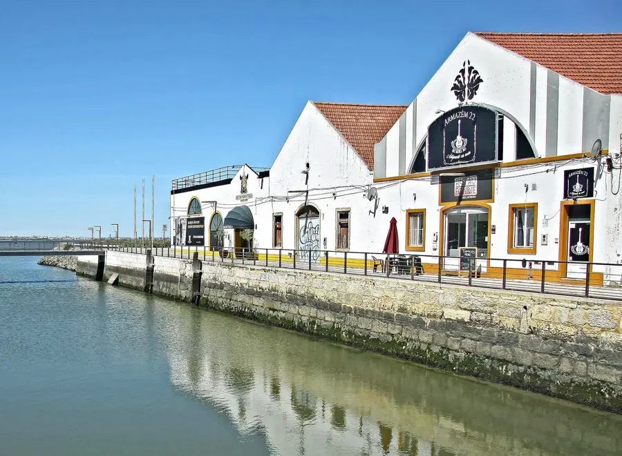
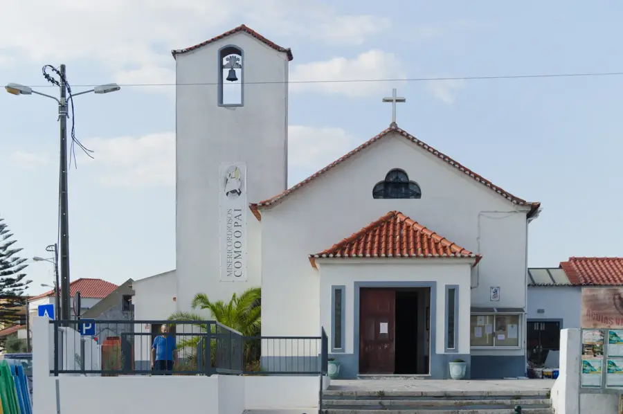
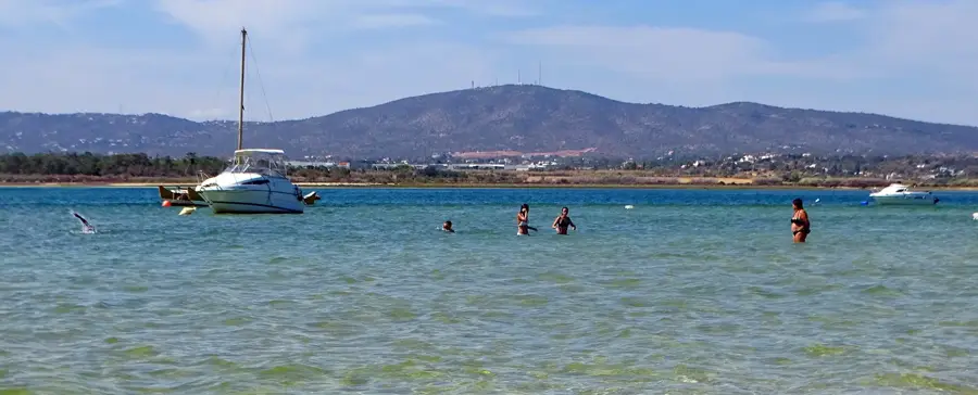
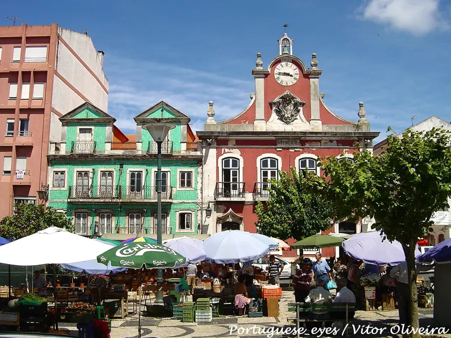
Sights in the town Serra do Caldeirão East (1)
Sights nearby
Frequently asked questions
What characterizes the Serra do Caldeirão?
Are there typical villages there?
Is the area suitable for hiking?
How is the climate in summer?
What plants are common there?
Serra do Caldeirão East: where is it located?
Serra do Caldeirão East: when is the best time to visit?
Serra do Caldeirão East: why is it worth visiting?

Nearby cities

History & landmarks