Plizio Visual Lab
Serra do Açor
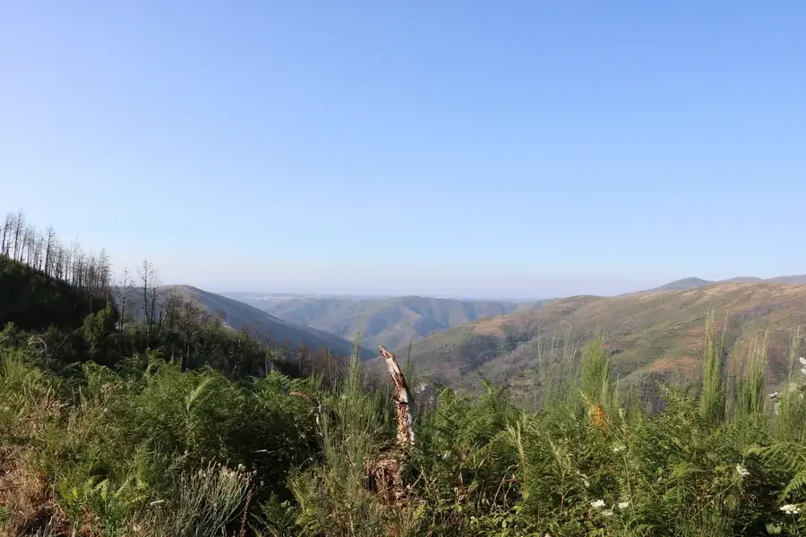
Serra do Açor is a striking mountain range in central Portugal, forming part of the broader Iberian Central System. Its highest peak is Pico de Cebola, reaching an elevation of 1,080 meters above sea level. The geology of the region is predominantly composed of schist, which gives the mountains their characteristic dark appearance and steep slopes. Historically, the range is renowned for its remote schist villages (Aldeias do Xisto), with Piódão being the most famous among them, protected as a national monument for its unique architecture. The climate features wet winters and hot, dry summers, supporting a flora of heather, gorse, and chestnut trees. Serra do Açor also houses the Mata da Margaraça, a protected area containing one of the last remnants of original deciduous forest in central Portugal. Many rivers and streams originate in these highlands, including tributaries of the Mondego and Zêzere rivers. Today, the area is a popular destination for hikers and nature enthusiasts who value the pristine landscapes and the enduring cultural traditions of the mountain communities.
- Location: Portugal
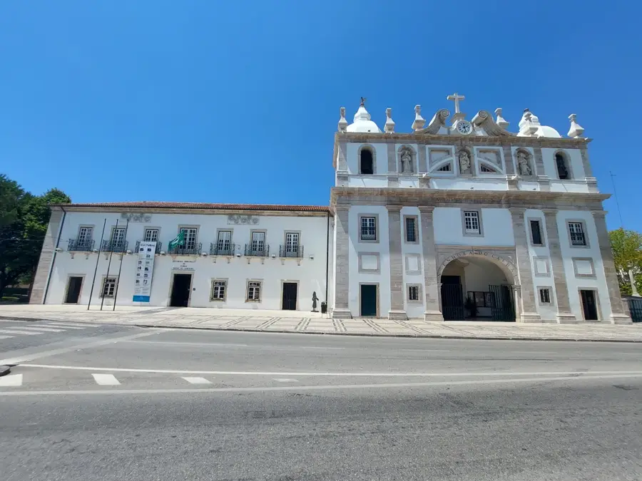
- Top sights: Museu de Piodão · São Pedro de Açor · Baloiço do Sobral Magro
- Nearby: Fundão (32 km)
Best time to visit & climate
The most pleasant time to visit is Jun–Aug.
| Jan | Feb | Mar | Apr | May | Jun | Jul | Aug | Sep | Oct | Nov | Dec | |
|---|---|---|---|---|---|---|---|---|---|---|---|---|
| Avg °C | 7 | 8 | 10 | 12 | 16 | 19 | 22 | 23 | 20 | 16 | 10 | 7 |
| Rain mm | 108 | 83 | 93 | 82 | 53 | 25 | 9 | 14 | 40 | 119 | 121 | 100 |
📋 Practical info
Geography
Facts
- Pico de Cebola is the highest point of the range at 1,080 meters.
- The village of Piódão is a national monument due to its schist architecture.
- Mata da Margaraça has been a protected forest area since 1979.
- Serra do Açor is part of the European Natura 2000 network.
- The Fraga da Pena waterfall is a notable natural landmark in the area.
- Schist is the dominant rock type throughout the mountain range.
Explore nearby
Notable places around
Route planner — Car & Motorhome
Where do you start? We build the route here, with stops and country notes along the way.
© OpenStreetMap contributors · OpenRouteService
Sights in the town Serra do Açor (7)
Sights nearby
Frequently asked questions
What is the most famous village here?
What is the terrain like?
Is there mining history there?
Where does the name Açor come from?
What is Monte Colcurinho?
Serra do Açor: where is it located?
Serra do Açor: what is there to see?
Serra do Açor: when is the best time to visit?
Serra do Açor: why is it worth visiting?

Nearby cities


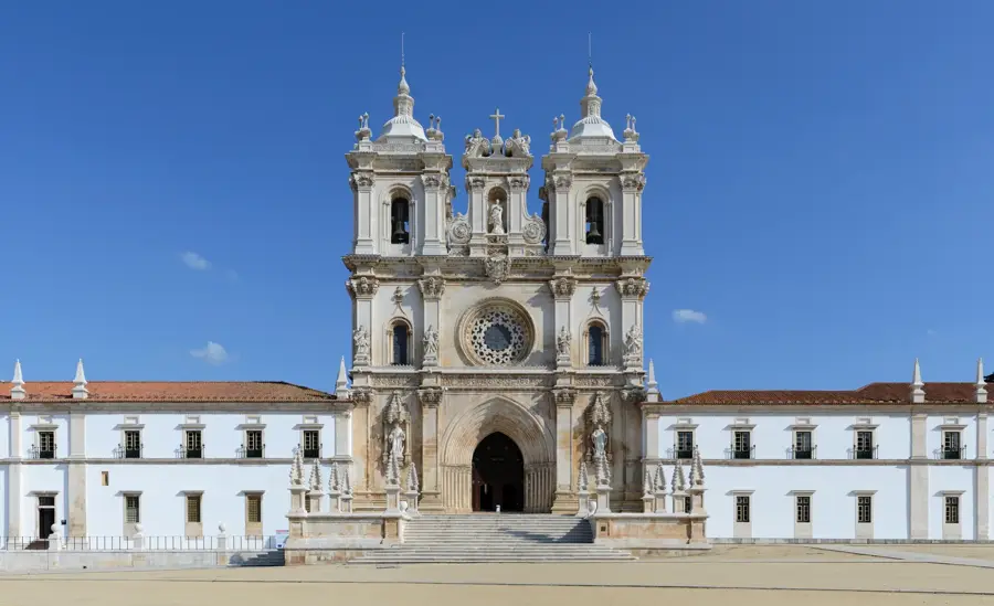
History & landmarks